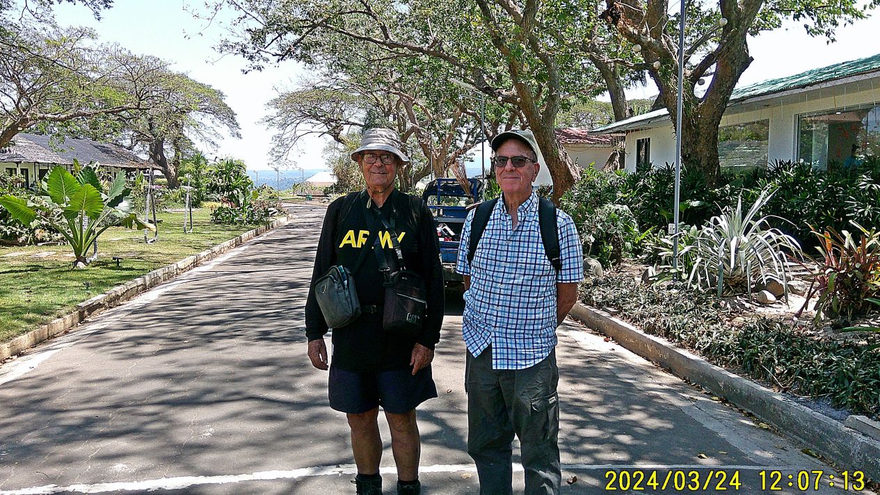
#23 shows us two musketeers, I got my ARMY shirt on for celebrating the history of Fort Wint here on Grande Island. Randy is going to get some image shots for the authors of the book: Relentless Hope: A True Story of War and Survival, by David L. Britt.
—————————————————-
My friend Randy Anderson, a retired Naval Officer & main person creating the Hell Ships Memorial decided to visit the Island. We wanted to get an update of the present resort on the island and carried out two missions for the authors of the book Relentless Hope: A True Story of War and Survival, by David L. Britt.
——————————————————-
Getting to Grande Island, the ex Fort Wint.
This is one of 4 presentations or segments.
All 30 pictures for this segment “Getting There” have been put into this Photobucket album, click here:
For the forum presentation I chose these 18 images:
————————————————————
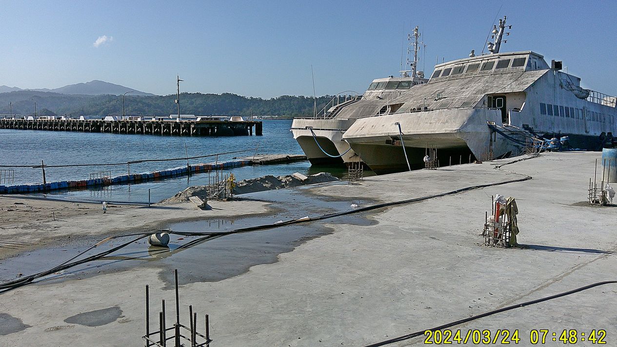
#01 is the Grande Island boat landing, this used to be the location of the Naval Officer Boat Landing. Those 2 white boats appear to belong to the resort but have not been used for many years. That floating small boat landing was used today and one has to be stable on one’s feet.
——————————————–
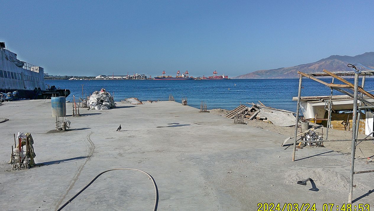
#02 image shows that the Grande Island Resort is rebuilding their boat landing. They had one here before in 2004 but it rusted and rotted away. Across the Olongapo Harbor we see the new SBFZ Container Port, with two container ships off loading and loading. That is where the Naval Base Officer Beach was. Left of it is the Leyte Carrier Wharf, it and the area has become a grain port, no ship there today.
————————————————
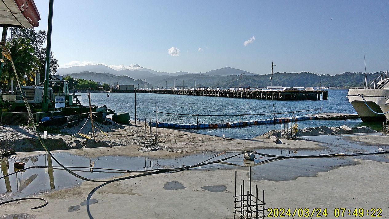
#03 is a view across the Alava Extension Wharf toward Mt. Natib. Mt. Natib is the northern of the two volcanoes on the Bataan Peninsula. The image shows the huge caldera of Mt. Natib. The caldera drains to Morong, just south of Subic Bay where the US Army, with their Philippine Scouts, mounted their last Cavalry Charge against the Japanese invaders crossing that volcano river. I wonder how many of us sailors knew we were sitting next to a huge volcano? The wharf now seems seldom to be used but about a couple of weeks ago I saw a Military Sealift Command (MSC) alongside ad the start of the Wharf.
—————————————————
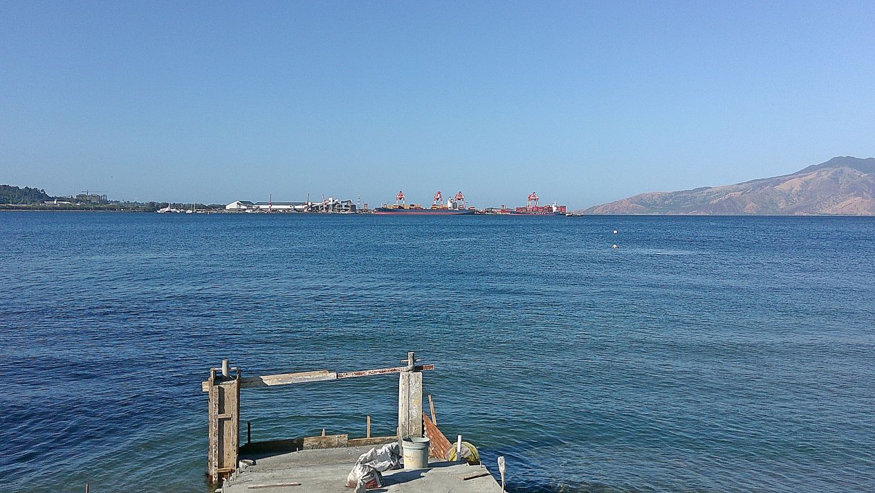
#05 across the Olongapo Harbor we see the new SBFZ Container Port, with two container ships off loading and loading. That is where the Naval Base Officer Beach was. Left of it is the Leyte Carrier Wharf, it and the area has become a grain port, no ship there today. Left of Leyte Wharf we see a small Yacht Harbor, the Cubi Point Air Field Control Tower and in the distance a high rise is going up.
————————————————————
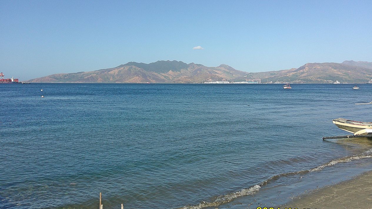
#06 is a view across the bay of Subic Bay, dead ahead is Mt. Cinco Picos, right of it is the former Hanjin Shipyard which has now become the Agila Subic Yard which is a Multi-Use Facilities are a shipyard in Subic, along the coastline of the Redondo Peninsula. But I never see anything going on there.
——————————————————————
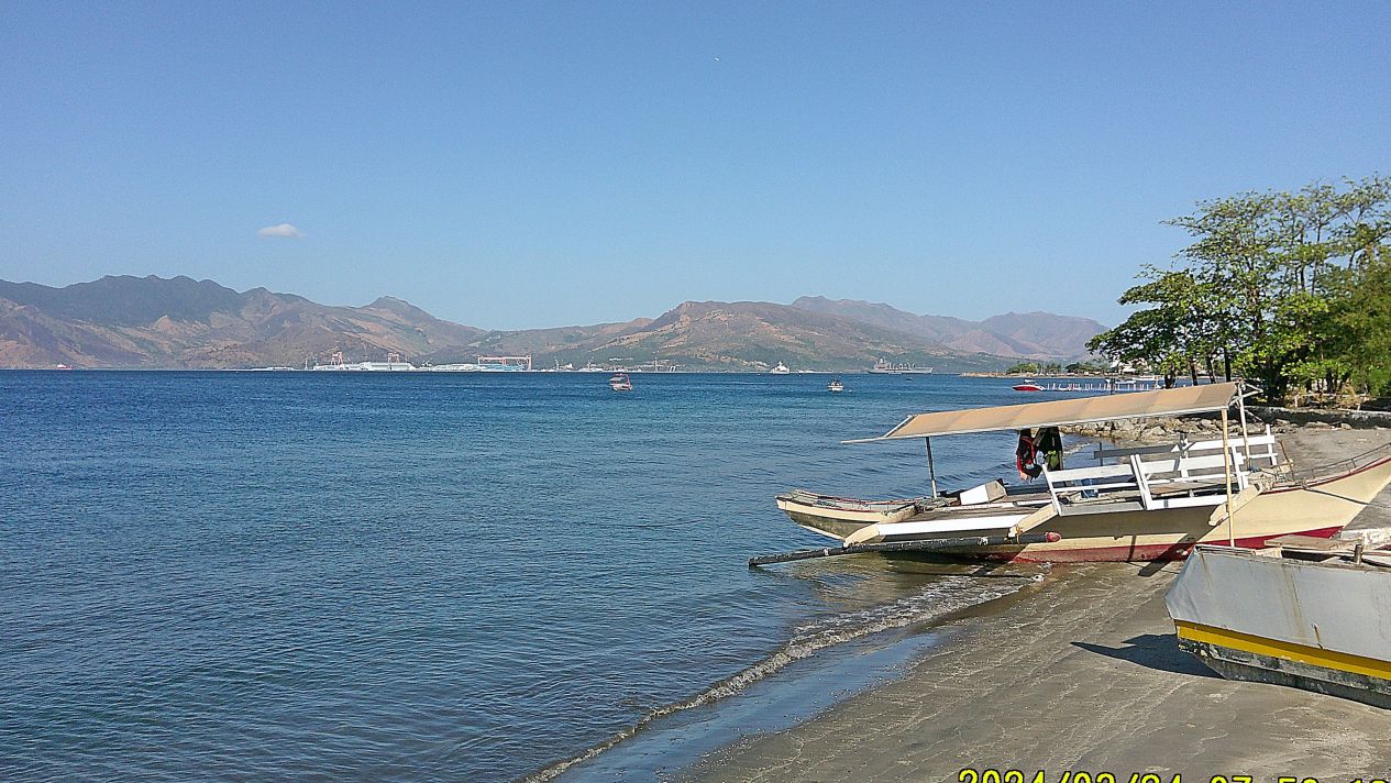
#07 is a view across the bay of Subic Bay and further right. What is interesting we see a gray Military Sealift Command (MSC) ship at anchor and a smaller white ship. I bet the white ship is a US Government research or survey ship, but I don’t know for sure.
—————————————————-
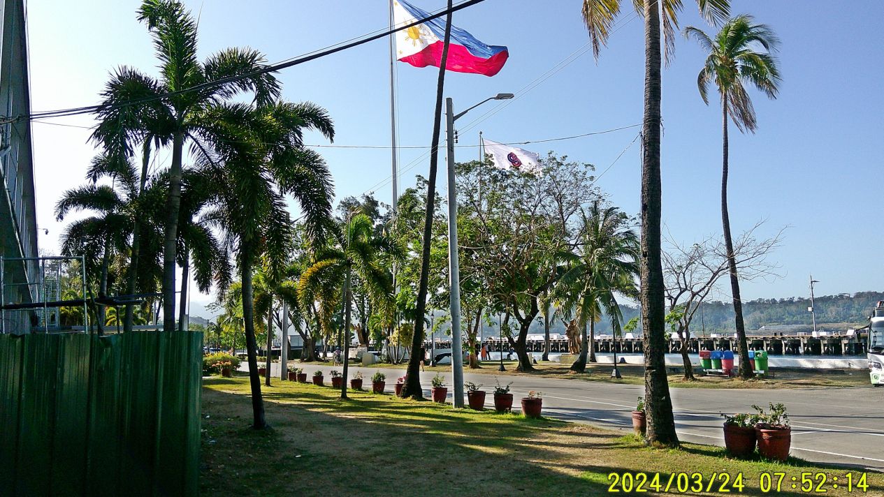
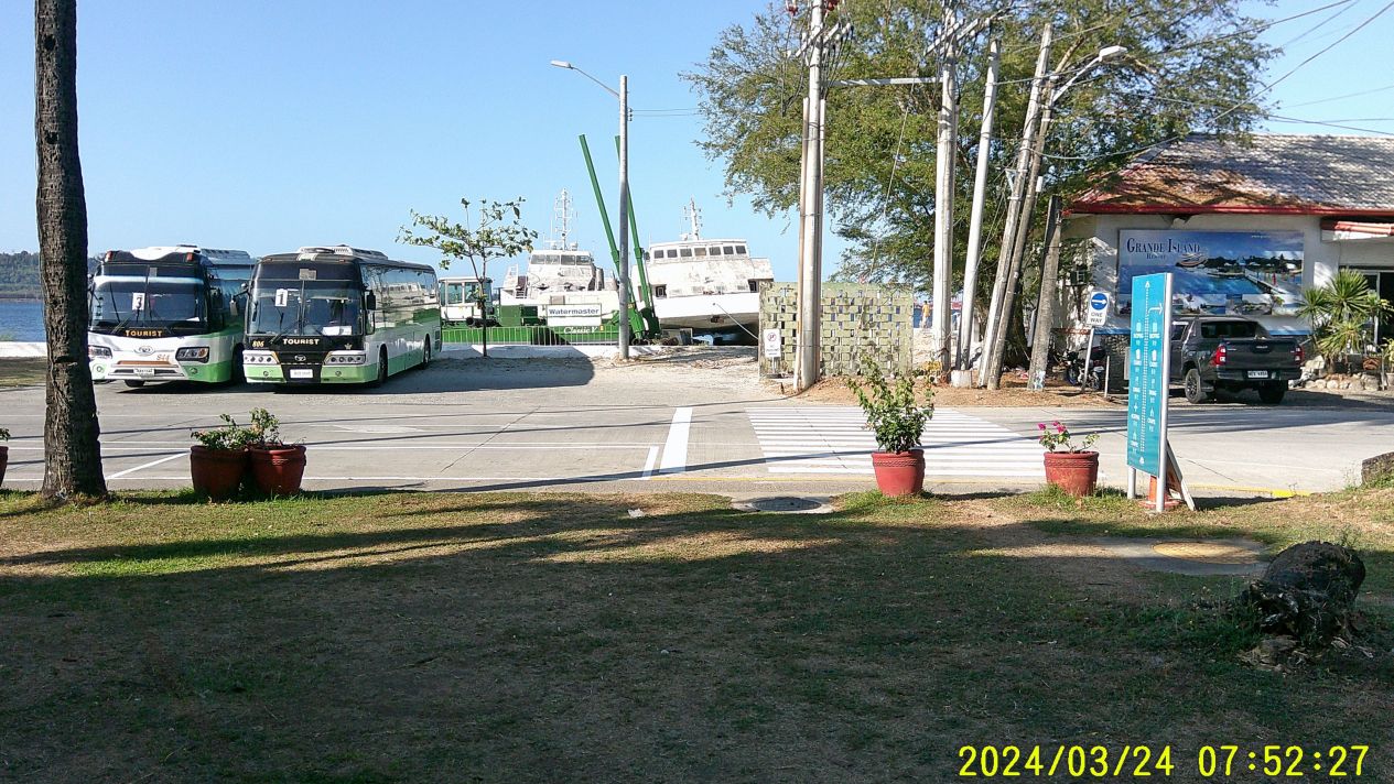
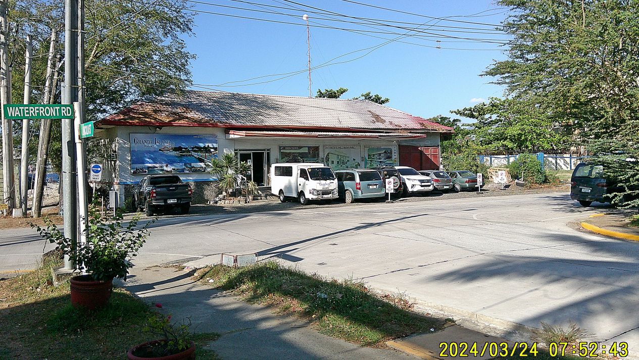
#10 to #12 images are 3 images shot from left to right of the waterfront of the Grande Island Resort Boat Landing. #10 is in front of SBFZ HQ, #11 shows to buses which have brought guests to the Grande Island Boat Landing, #12 is the Grande Island Boat Landing, which was build around 2003.
——————————————————–

#13 image is a pic of young contract workers going to the Grande Island Resort to do a project, most Filipinos are always ready for a picture.
——————————————————————–
#16:
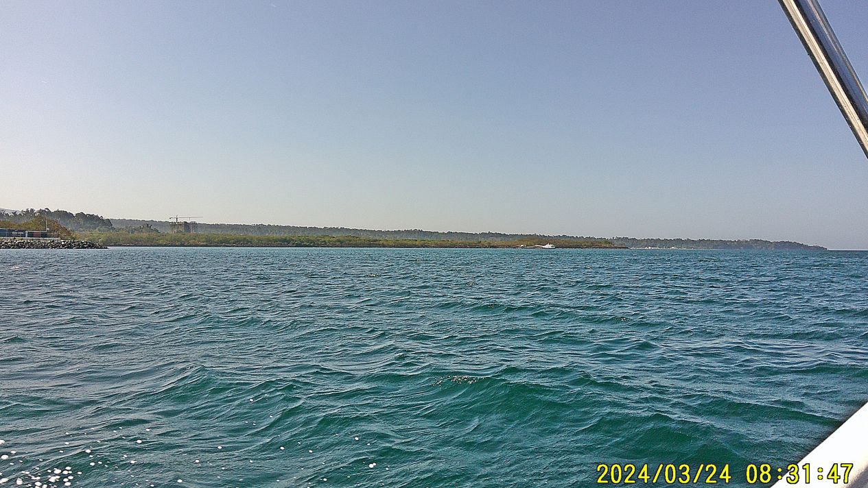
#14 to #16 images of pics of our transit to Grande Island, #16 is of interest it shows a boat landing along the airfield which was built and used by Hanjin but is now being used by the Agila Subic Yard.
———————————————————————–
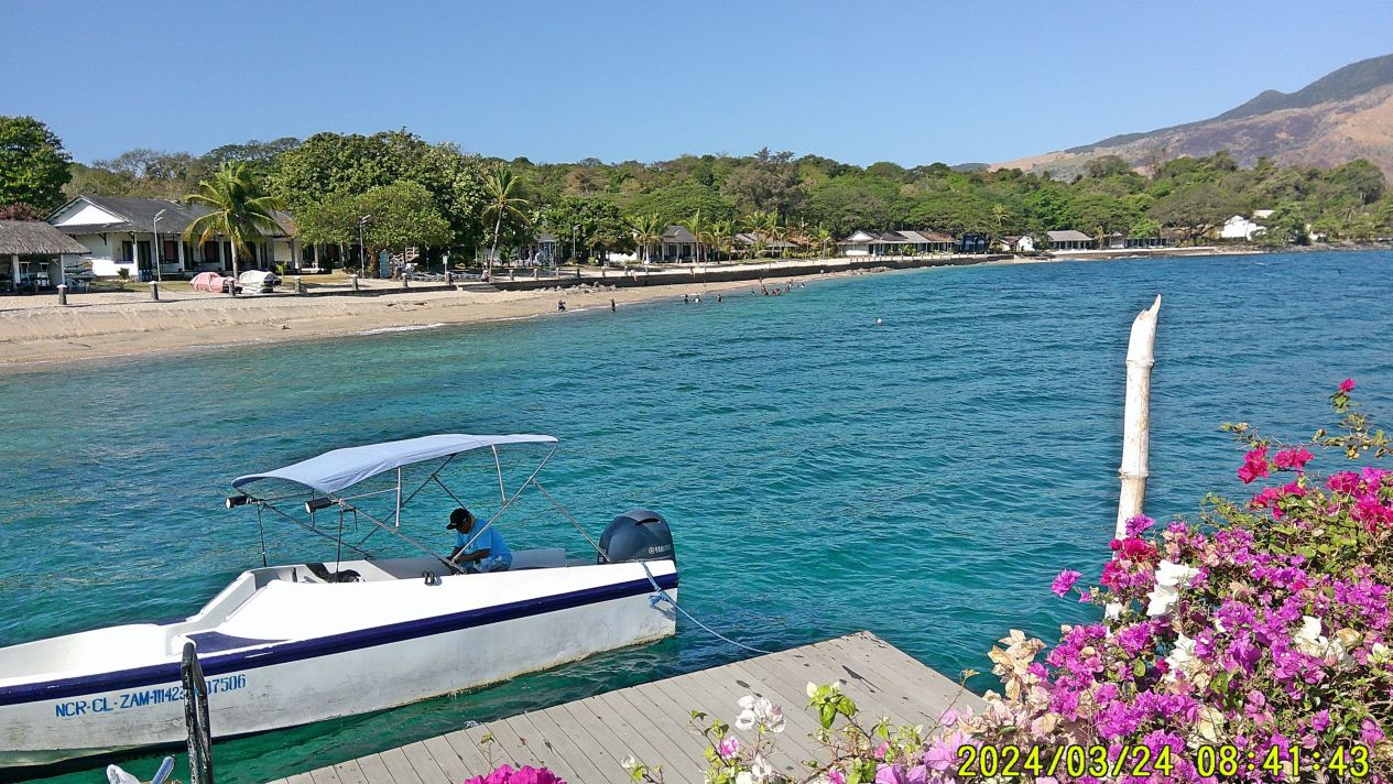
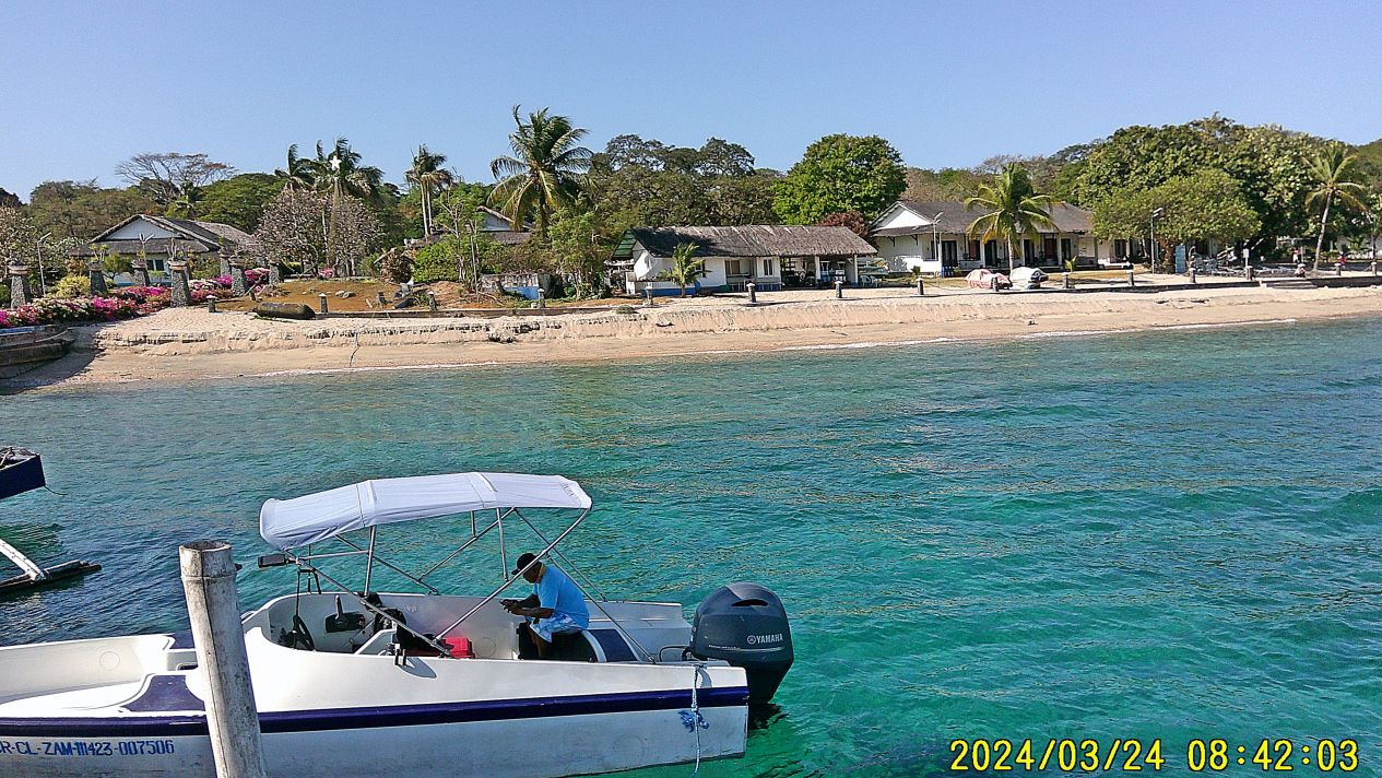
#17 to #21 images are 5 images of us landing on Grande Island showing the pier or wharf and the beach of Grande Island North Beach, You saw the buses parked, a commercial company brought their employees here for a team togetherness, hence people on the beach.
#18
#20
———————————————————————–
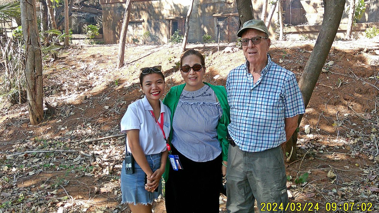
#22 left to right, our guide and golf cart driver, the spouse of the present manager but she is doing a lot of managing also and my teammate Randy Anderson.
————————————————————-

#23 shows us two musketeers, I got my ARMY shirt on for celebrating the history of Fort Wint here on Grande Island. Randy is going to get some image shots for the authors of the book: Relentless Hope: A True Story of War and Survival, by David L. Britt.
—————————————————–
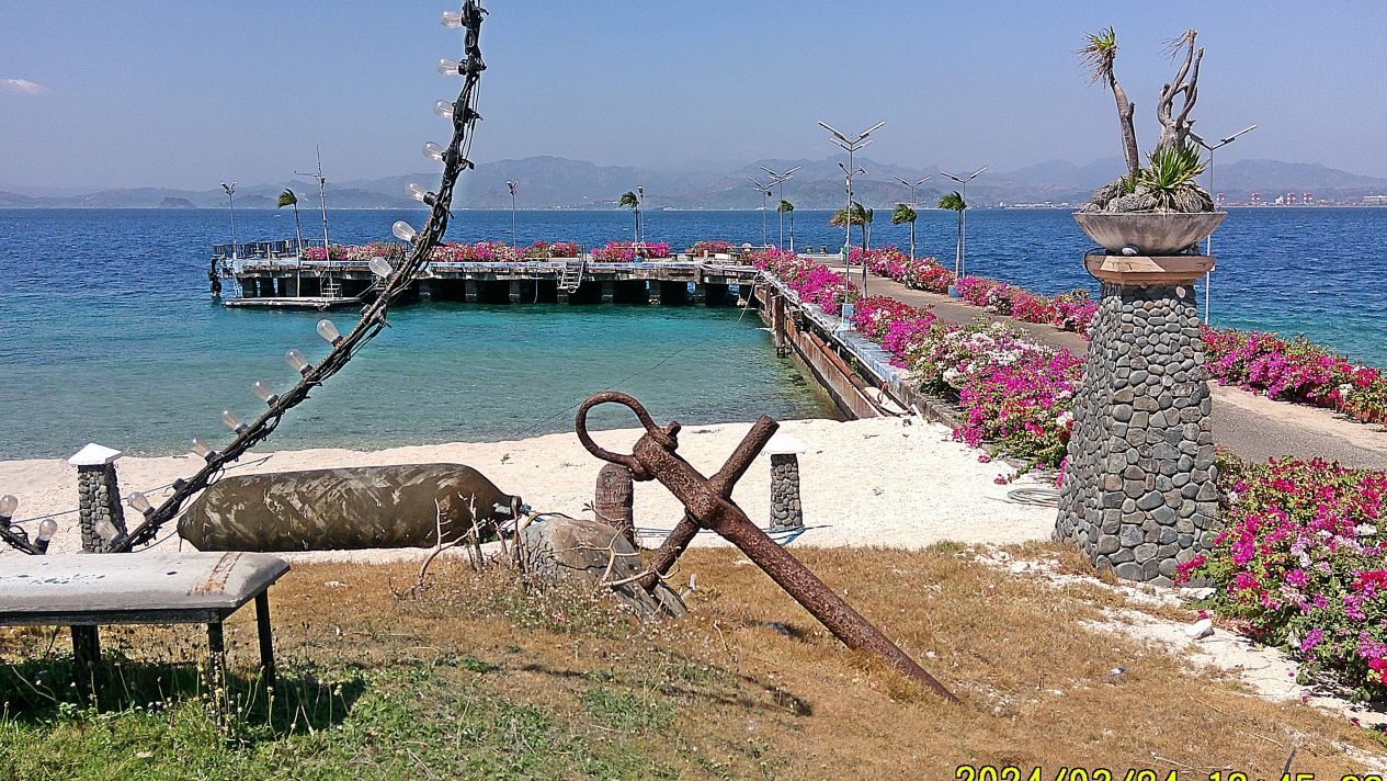
#24 shows the Grande Island Pier all decked out with flowers that are a change from my 2021 visit. The Navy anchor is stll there or was it the Army who put it there?
—————————————————————————
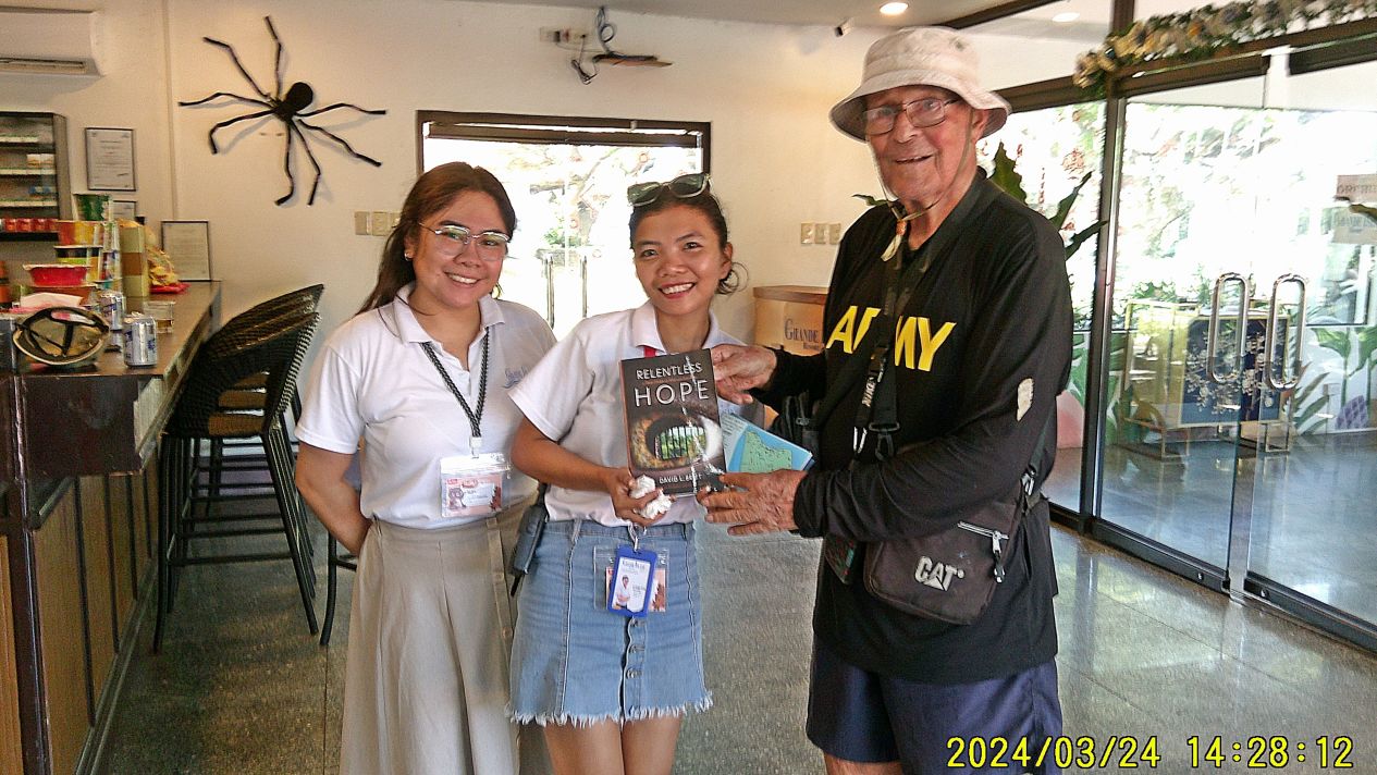
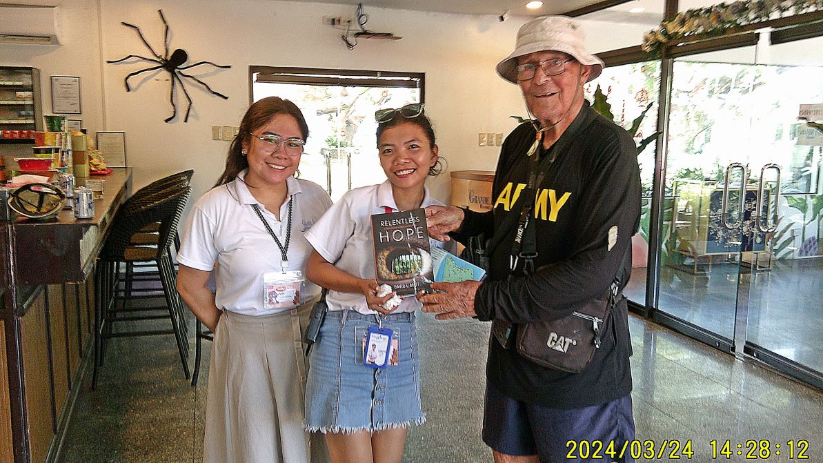
#25 Mission Accomplished, as promised I delivered the book Relentless Hope: A True Story of War and Survival, by David L. Britt.
The people of the Army Lt. Chester K. Britt Research Team are:
First are Dave Britt, LTC USAF (Ret), son of Chester K Britt, Vickie Graham CMSGT USAF (Ret), and John Duresky. They all graduated from Logan High School in La Crosse, Wisconsin in 1967, and are doing it as a team. Chester Britt graduated from Logan in 1933 and his mother Grace in 1934. Dave wrote most of the manuscript, John editing what he wrote and doing most of the research, and Vickie is the final editor with about 20 years of professional writing in her resume, largely with Airman Magazine.
——————————————————————————-
#26 to #30 are five images of views on our drive back from the island to the location of the former Naval Officer Boat Landing. Image #30 shows a grass fire near the runway of the present Subic Bay International Air Port, the former Cubi Point Naval Air Station. During our time we kept the grass very short but today bushes surround the airfield.
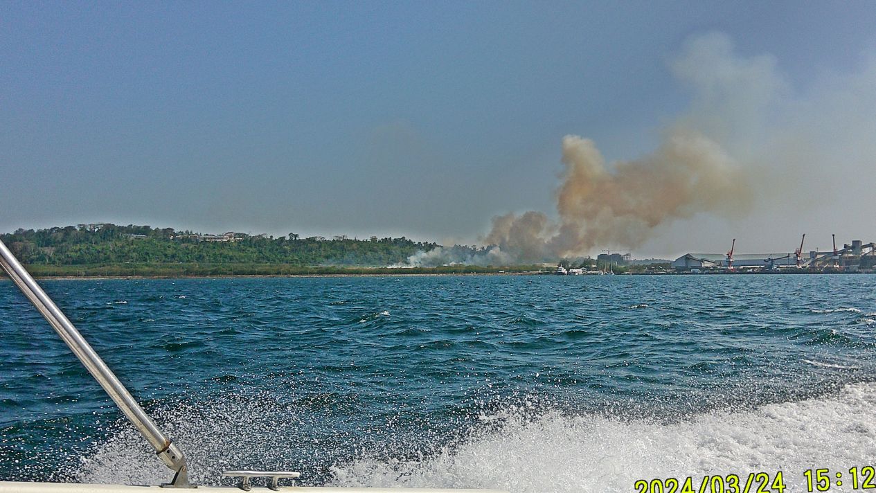
#30
====================================
Grande Island, ex Ft. Wint Visit information, this was our experience.
We were pleasantly surprised that the landscaping of the resort is well in hand and even has improved over our past visits. Driving ways for golf carts have been expanded, they are available for renting. All the facilities are in good shape. The mine casemate is open to be looked at. Battery Warwick, the 10 Inch Battery is locked up, part of the airport radar system. Batteries Hall, Flake and Jewell are open and cleared to be visited. Battery Woodruff is a goner and takes some knowledge to find the former location. The North Beach is very fine and ok to the east and south. Two former Navy cottages are used by workers, the others are gone, and the former Navy swimming pool is filled up with trash. But the resort has a very big and clean one in the area of the former Navy Ball Field. Anything else of the former Army Fort Wint Coastal Artillery one has to go into the bushes to find the controls etc.
They are also on Facebook that is where the below info came from, click here.:
Hi Karl-Wilhelm
-OVERNIGHT DETAILS FOR TWO (2) PAX:
-Sea view – P13,888.00
-Garden View – P11,888.00
-Extra person charge – P3,850.00/head
-Extra Bed: P1,650.00/night
-Room Capacity: up to 4 pax only
-Free of Charge: Kids below 3 feet
Inclusions: – Boat Transportation
– 1st day meals: Dinner
– 2nd day meals: Breakfast & Lunch
– Beach & pool access
– Wi-Fi – Cable TV
– Guided Grande Island land tour
-Mobile/Viber/WhatsApp: 0917-128-0593
– Email: sales@grandeislandresort.ph{
——————————————————————————
Greetings from Grande Island!
-We are now accepting DAY TOUR!
-BOAT SCHEDULE Terminal check in: 8:00 AM Island check out: 4:00 PM
-Our DAY TOUR rate is P2999.00 per adult and P1499.00 per kid below 12 yrs old.
-(Note from Karl, they charged us 2,500 pesos)
Inclusions:
– Boat transfer
– Guided island tour
– Ocular rooms
– Fishing
– Beach access
- Swimming pool is not available
Dine in:
– Welcome drinks
– AM Snacks
– Plated Lunch
– PM Snacks
======================================================================
Grande Island, ex Ft. Wint 2024 Visit
Second of 4 Presentations; 36 images
2024 Resort Facilities of Grande Island
My friend Randy Anderson, a retired Naval Officer & main person creating the Hell Ships Memorial decided to visit the Island. We wanted to get an update of present resort on the island and carried out two missions for the authors of the book Relentless Hope: A True Story of War and Survival, by David L. Britt. This is the 2nd of 4 presentations or segments. And a sorry: some of the pictures are not too clear but I use them anyway because I’m telling a story.
—————-
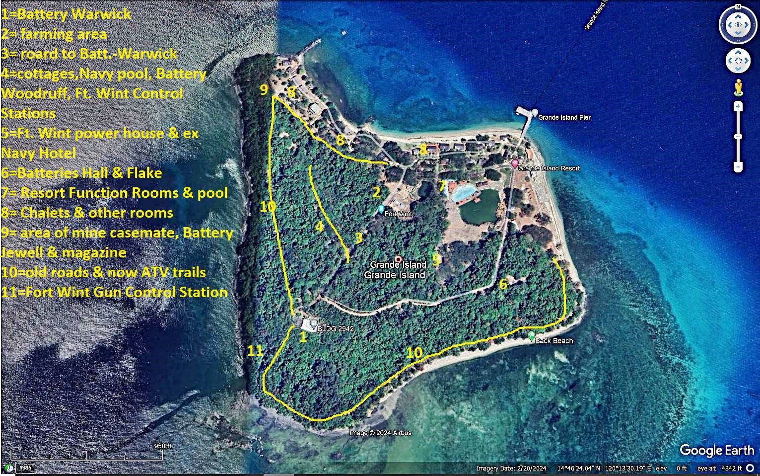
#02 image is a Google Earth graph of Grande Island, marked with landmarks for this album.
———————
#04.
#01 to #07 images are views of the Grande Island Resort Beach at the North Shore of Grande Island, the former Fort Wint and later the Navy Recreation Island.
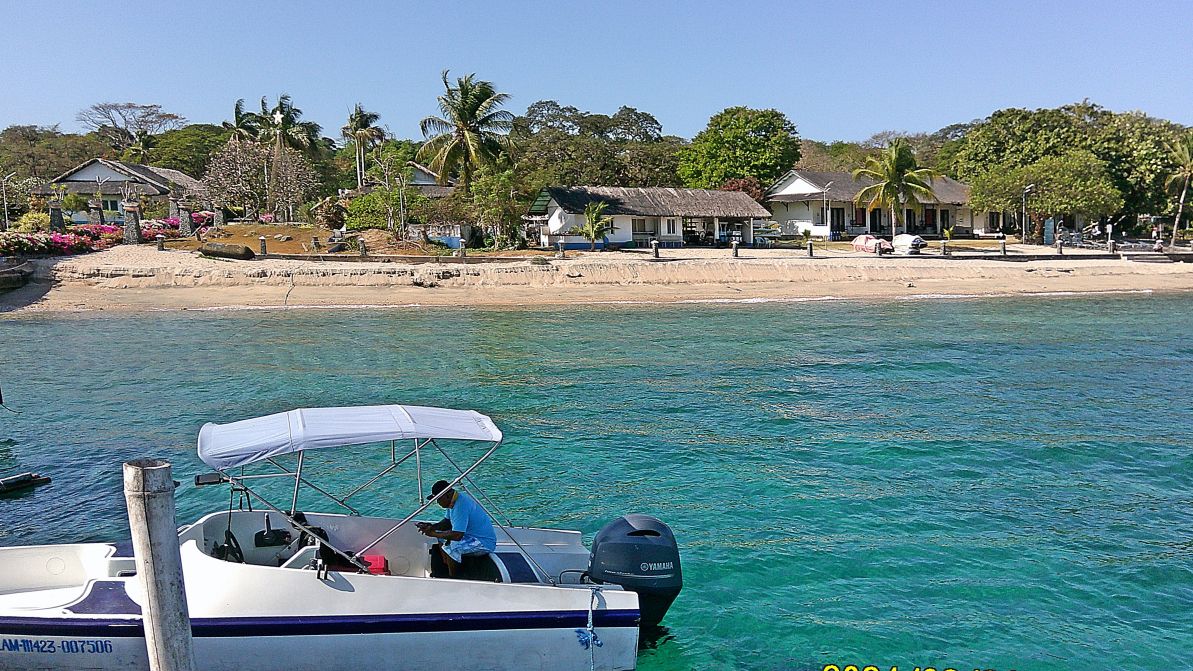
#04.
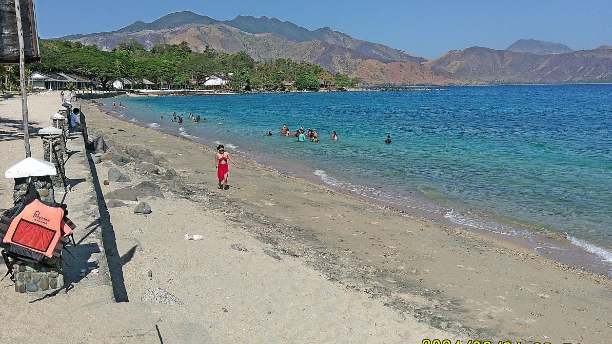
#05
#02 image is a Google Earth graph of Grande Island, marked with landmarks for this album.
———————————-
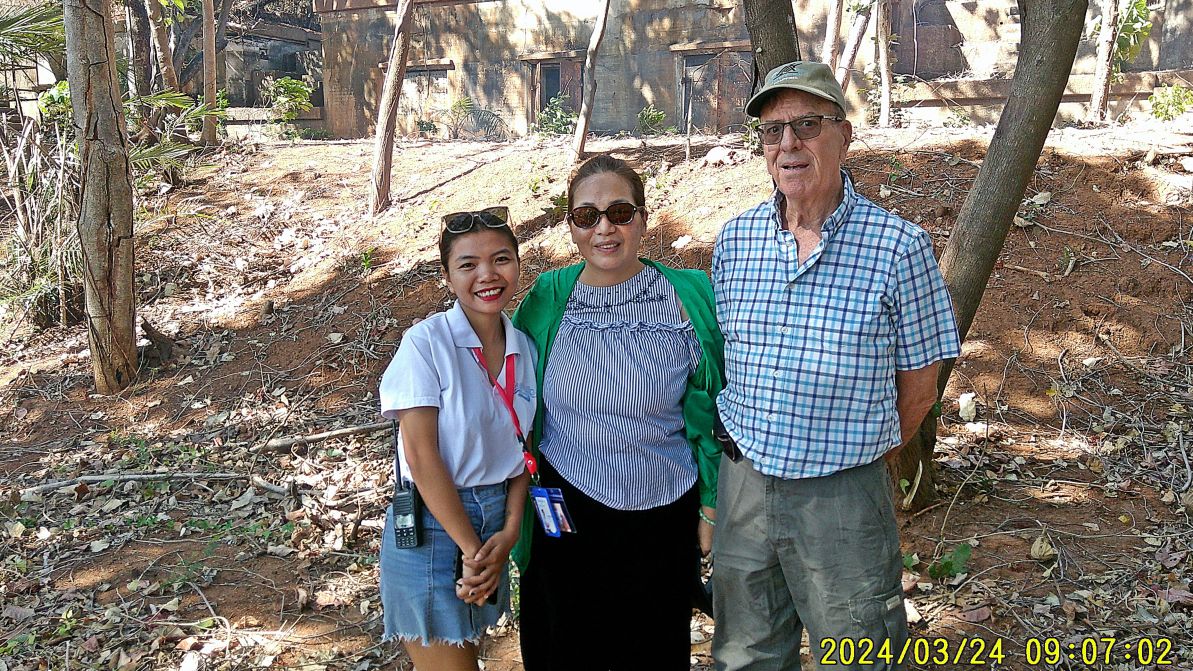
#08 image is left to right, our guide and golf cart driver, the spouse of the present manager but she is doing a lot of managing also and my teammate Randy Anderson.
———————————-
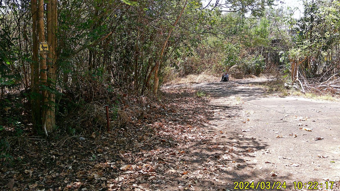
#09 and #10 are signs of routing the recreational ATV traffic on Grande Island. Behind the sitting person is Battery Warwick.
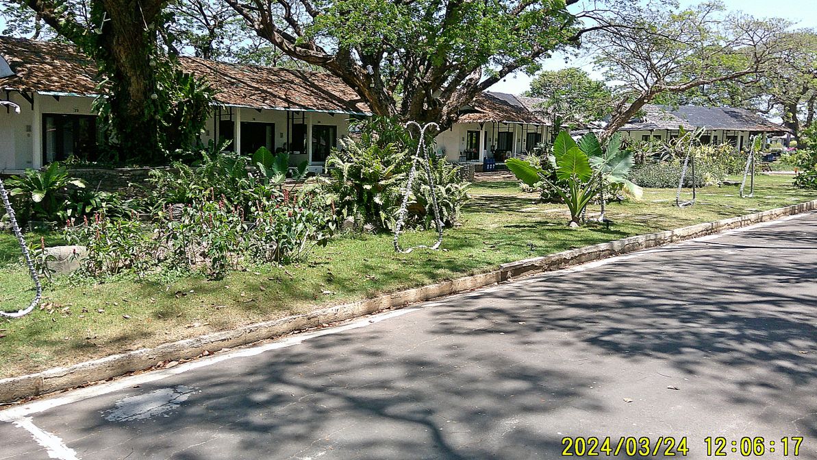
#11 and #12 image show the function hall at right and one chalet buildings at left.
——————————
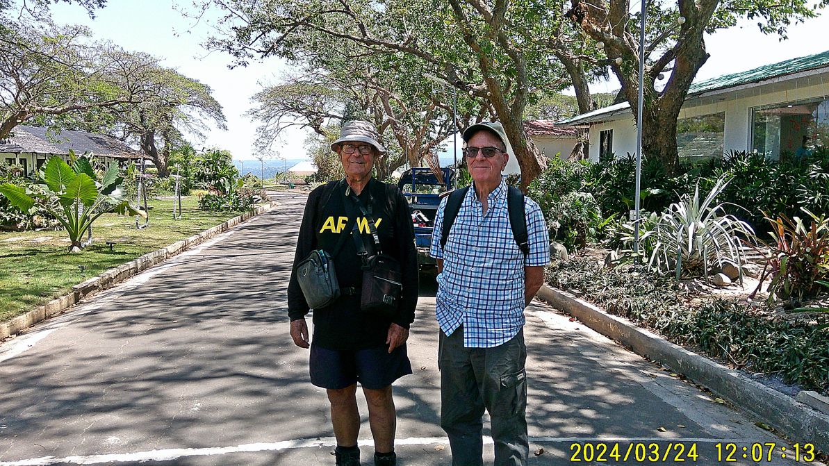
#13 shows us two musketeers, I got my ARMY shirt on for celebrating the history of Fort Wint here on Grande Island. Randy is going to get some image shots for the authors of the book: Relentless Hope: A True Story of War and Survival, by David L. Britt.
————————-
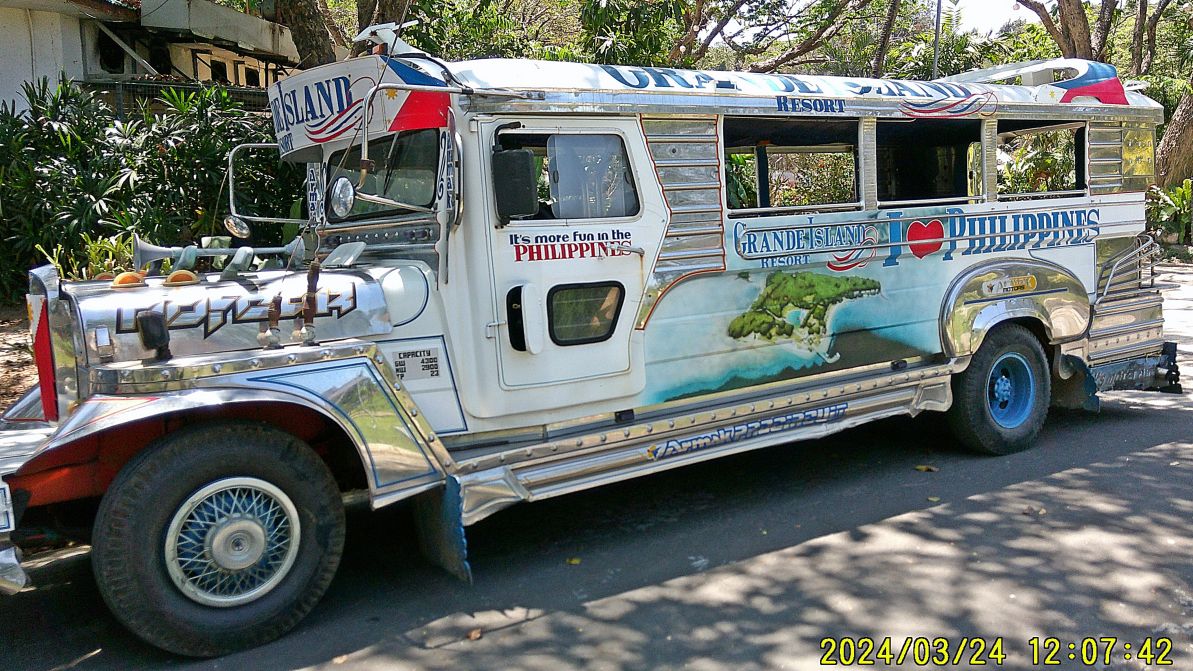
#14 Grande Island Jeepney, there are at least 2 of these on the island. They could be used for a large visitor group.
——————————————-
#15 to #25 images are random shots of the Grande Island Resort along the road that runs parallel along the North Beach and the pictures are shot from east to west. #16 is the old Navy sign to the Navy Hotel which the resort only used as a storage place. #19 is the road to Battery Warwick. #24 image shows the walkway up the former Navy cottages.
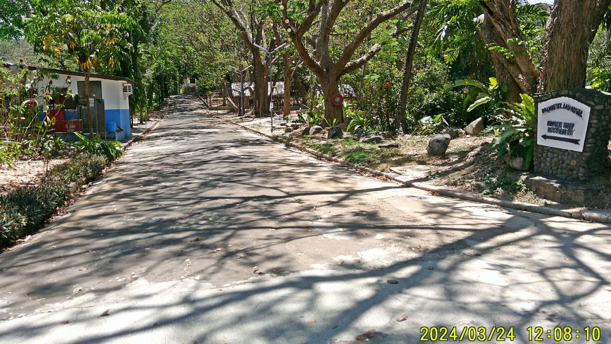
#16. The Navy sign is still in place!
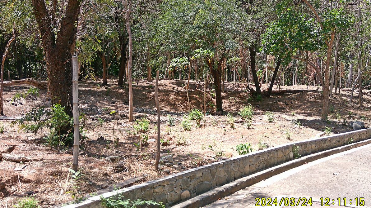
#20. What I like about this picture that one can walk under the trees, the underbrush was cleared.
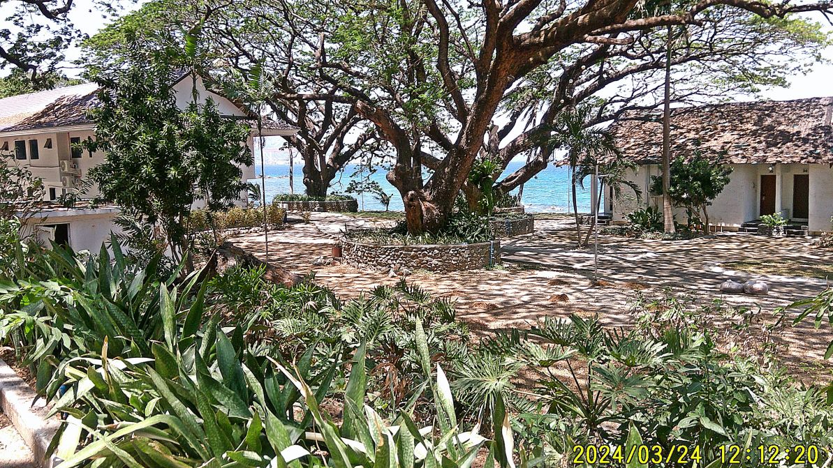
#21.
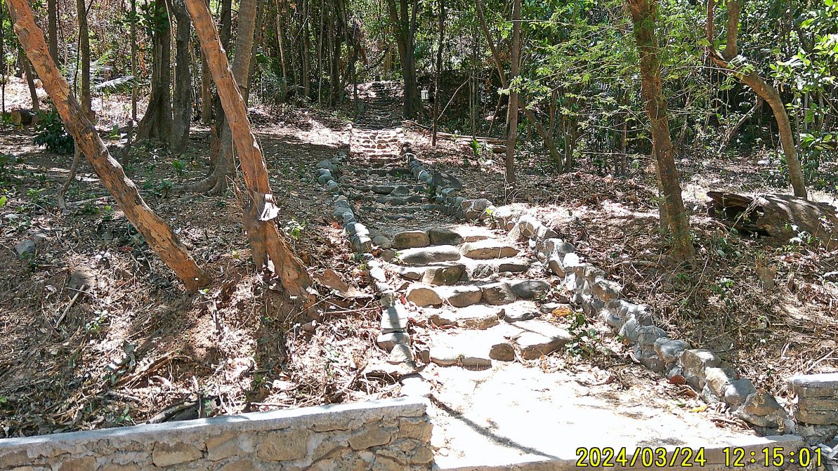
#24.
This is an impovement, this is the north access trail to the Navy cottages, it was a rocky trail before.
————————————————-
#26 to #30 images are of the area around Battery Jewell and the Mine Casemate. #29 and #30 images were shot from the top of the mine casemate.
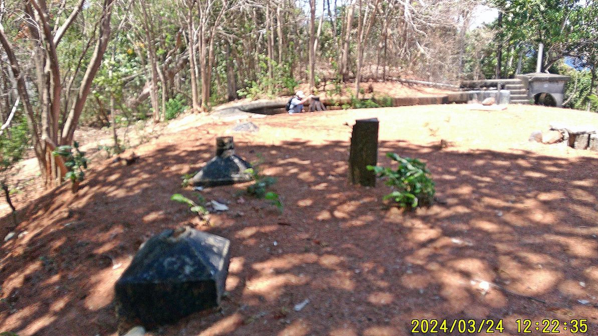
#28.
——————————————
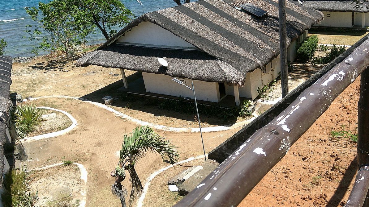
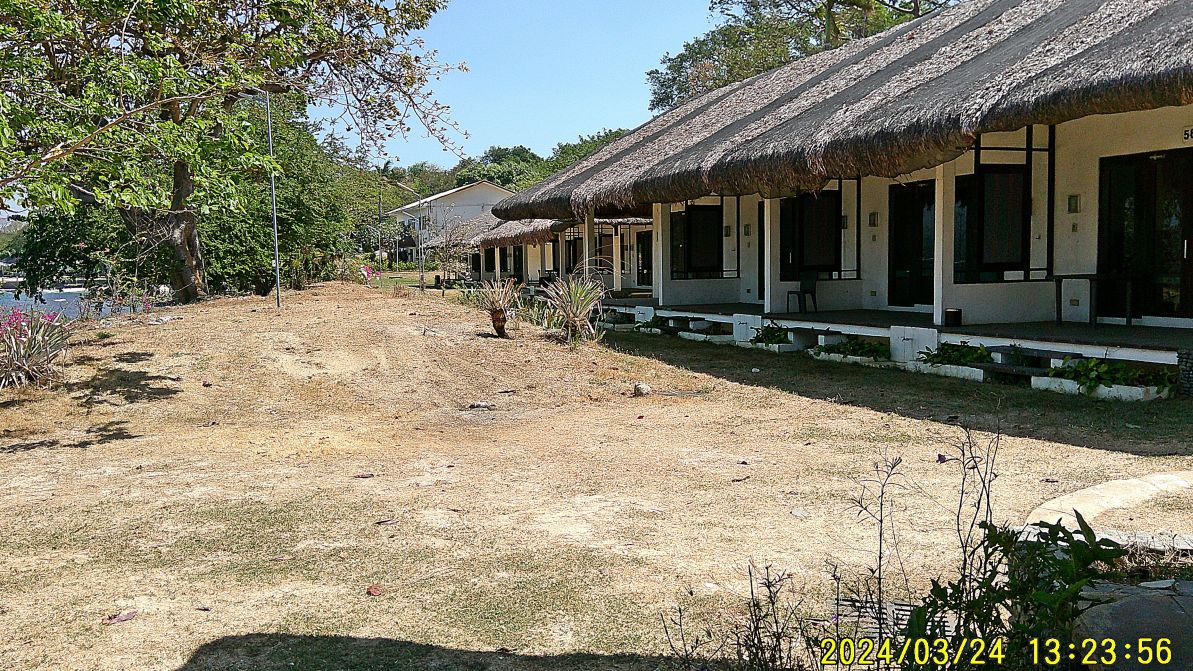
#31 to #36 images are shot from the breakwater area and of some chalets as I started my walk from the breakwater to the Grande Island pier or wharf.
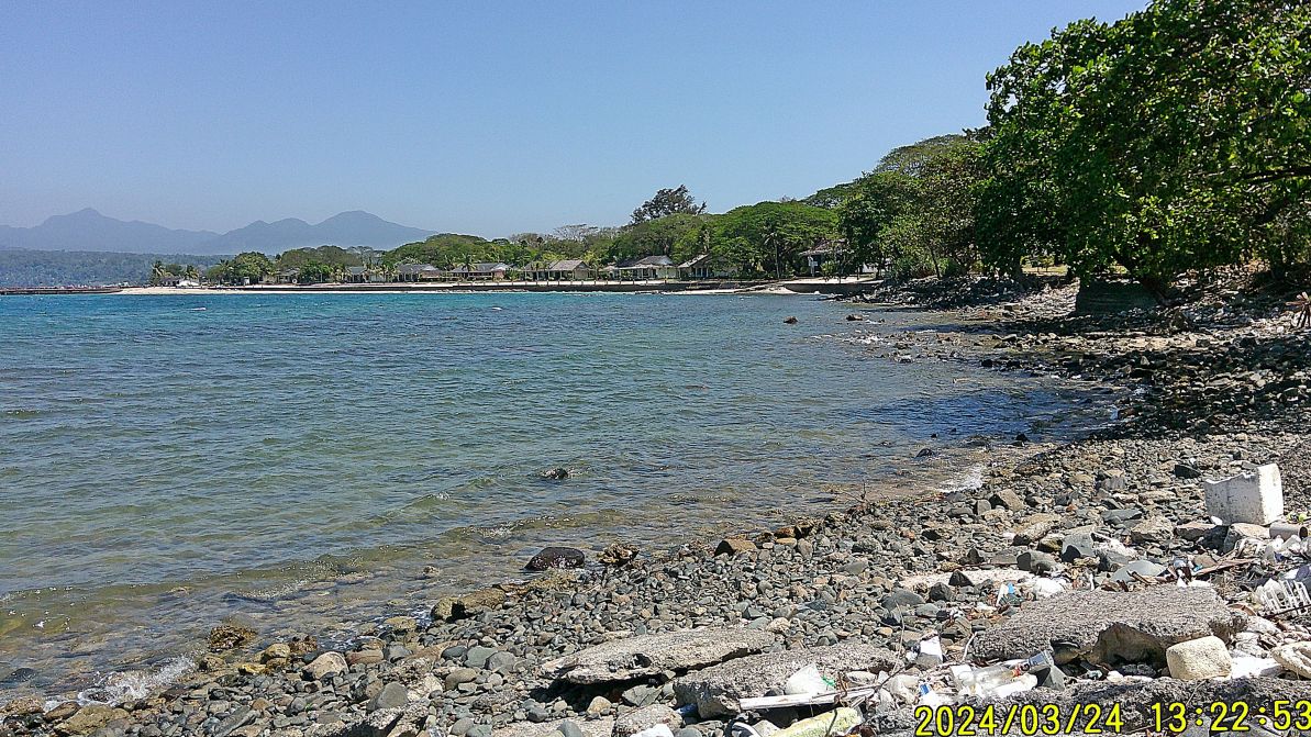
#32.
#34.
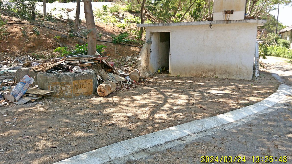
#37 to #40 images are of a large building, which may have been built by the Navy but right now only is used by some labors engaged by the Grande Island Resort. #37image shows a Navy weight testing block of 9000 US Pounds, maybe it was used here as an anchor for wires to a communication tower during our time.
—————————————————
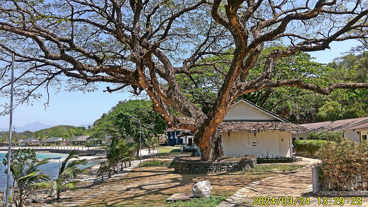
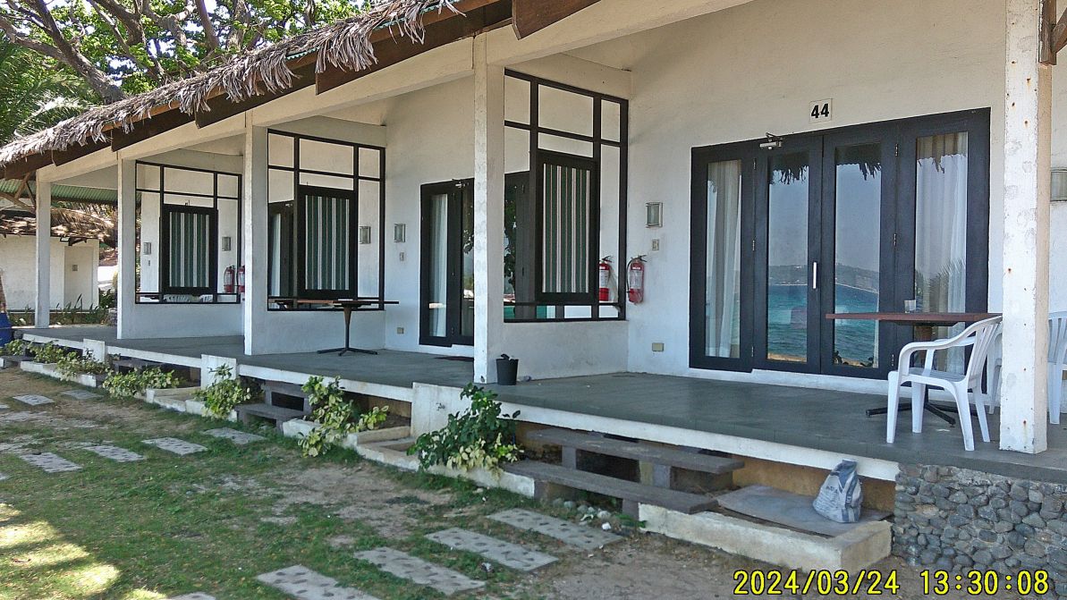
#41 to #52 images show the Grande Island Resort facilities along the North Coast of Grande Island. Everything the Army in Fort Wint and what the Navy had for recreational purposes along the North Shore is ALL GONE NOW! This resort was about developed in 2004.
#41.
#43.
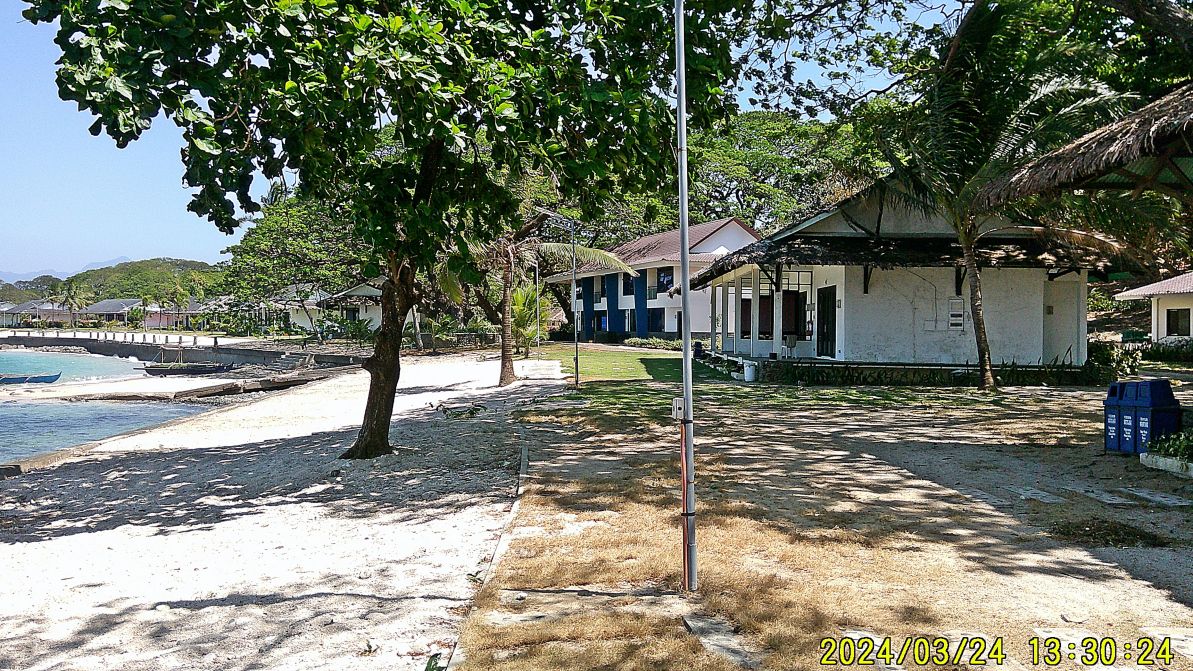
#44.
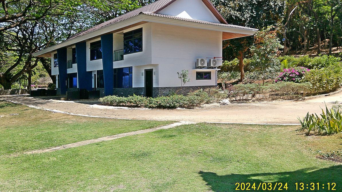
#35.
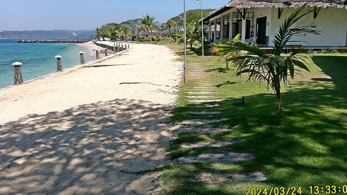
#47
———————————————–
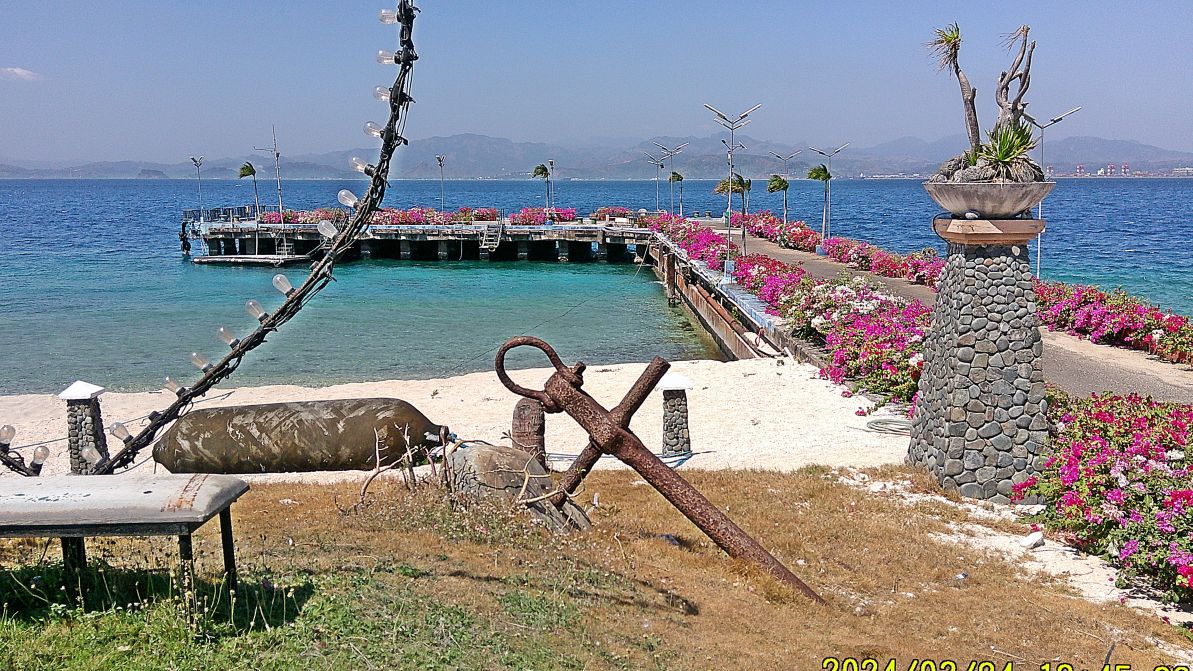
#53 image is the former Fort Wint Pier, maybe it was called wharf then. All the flowers been added since 2021, my last visit.
———————————-
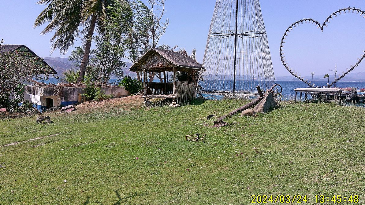
#54 image is the area at the head of the Grande Island Pier, an old anchor is in view placed there by the US Navy or US Army. What looks like a defense bunker is still in place, that is the only structure like this on the island.
—————————
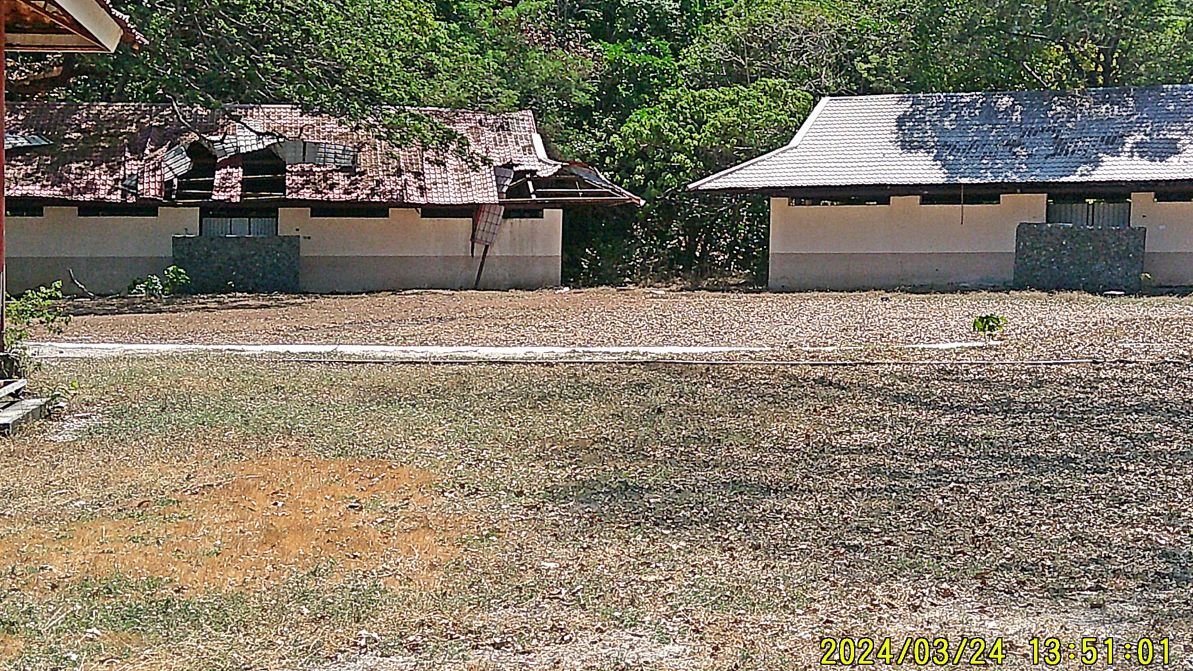
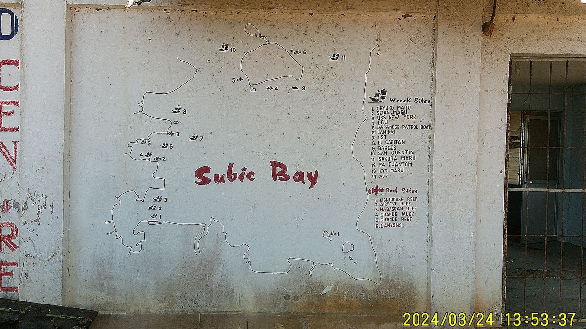
#55 to #58 images are from our walk from the pier to the former Fort Wint Power House. #55 image shows two early beach resort structures with one falling apart. #56 image is structure that served as or is a diving room gear with a wall map of Subic wrecks indicated. #57 is the wave making building but the resort developer never got it in operation. #58 image indicates that the resort hired at least 2 old type grass cutters/razors.
#55.
#56.
—————————————-
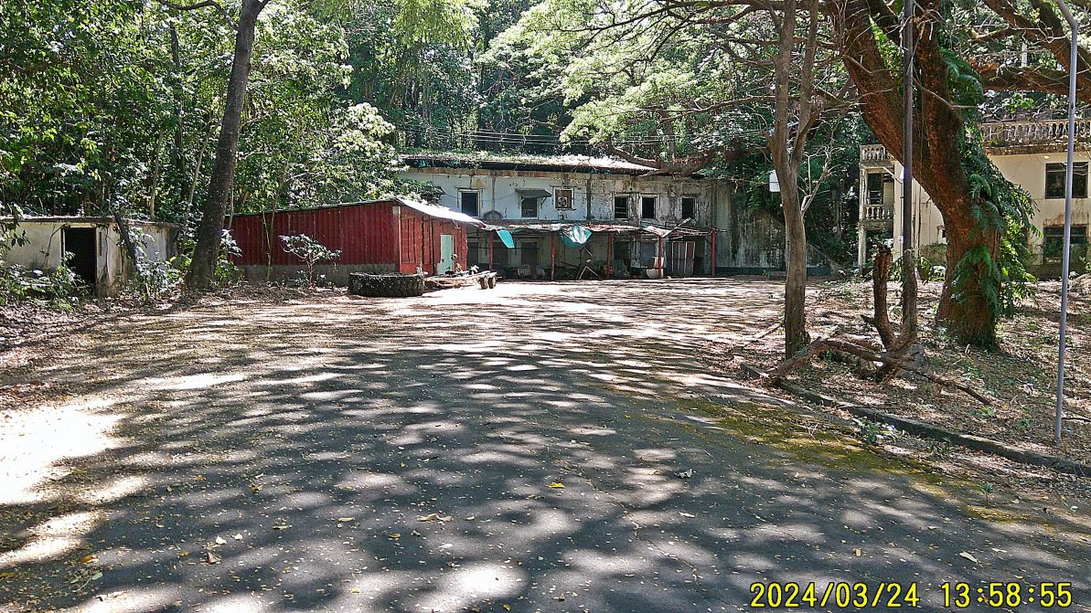
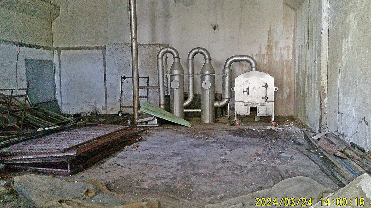
#59 and #60 images show the old Fort Wint power house. Inside the building is a new gadget installed since 2021 but I don’t know what it is.
#59.
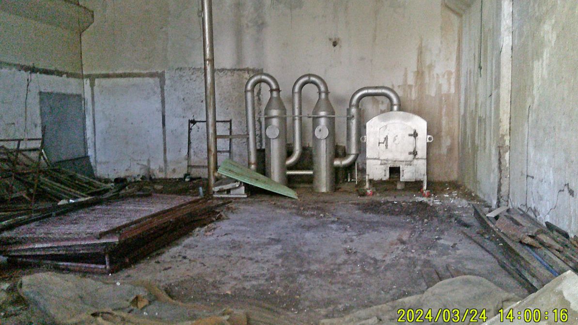
#60.
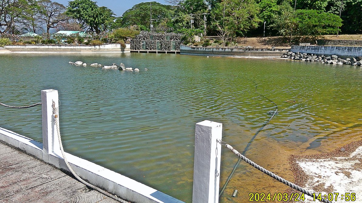
#61 to #68 images are left and right of the road from Fort Wint Power house to the intersection with a sign to the Navy Hotel. The pictures show the new and big pool, the failed wave making area, another depression, lined with plastic which was going to be another type of pond etc.
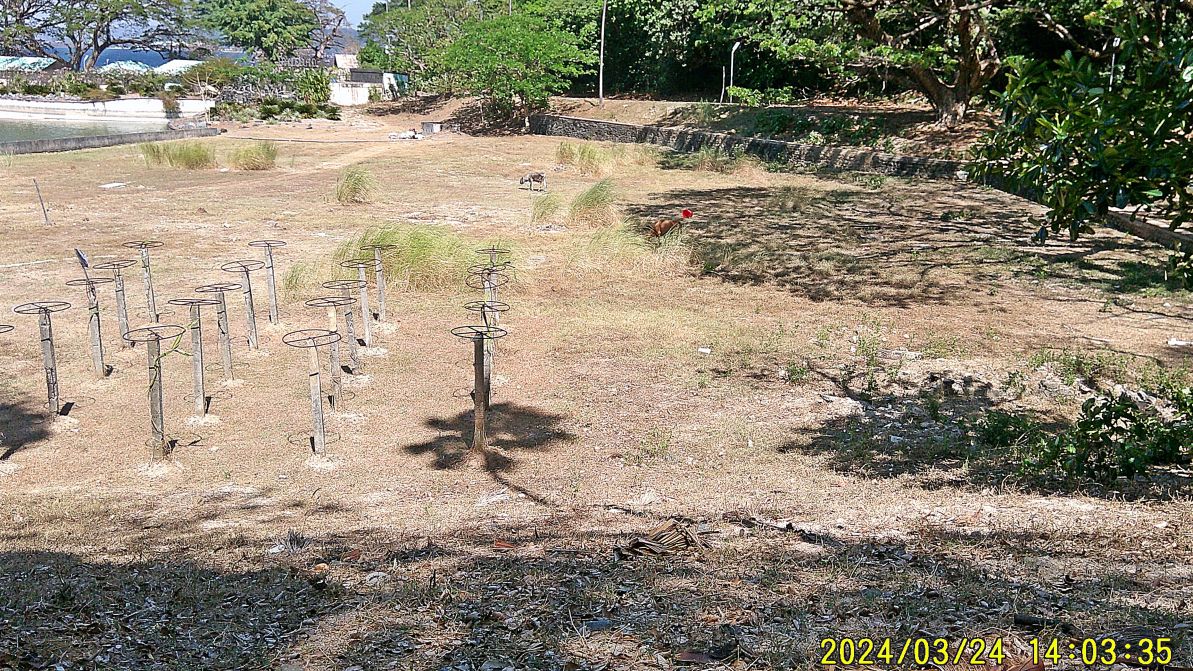
#61
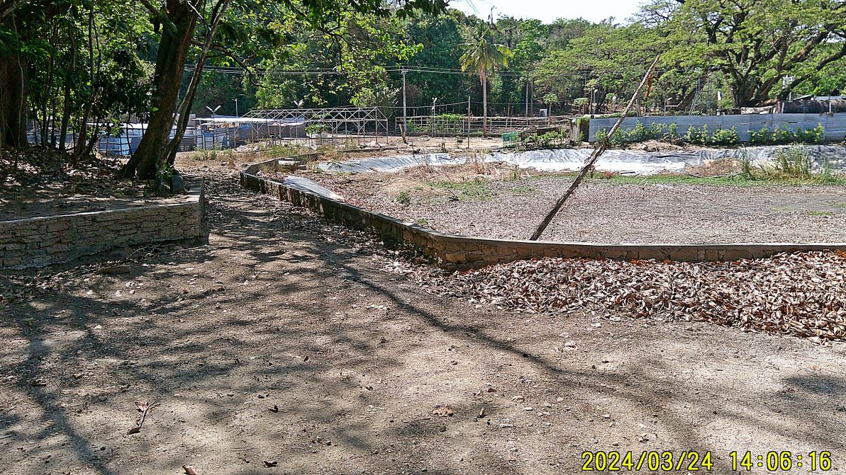
#63.
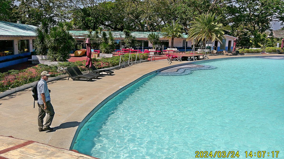
#64.
#66.
————————————
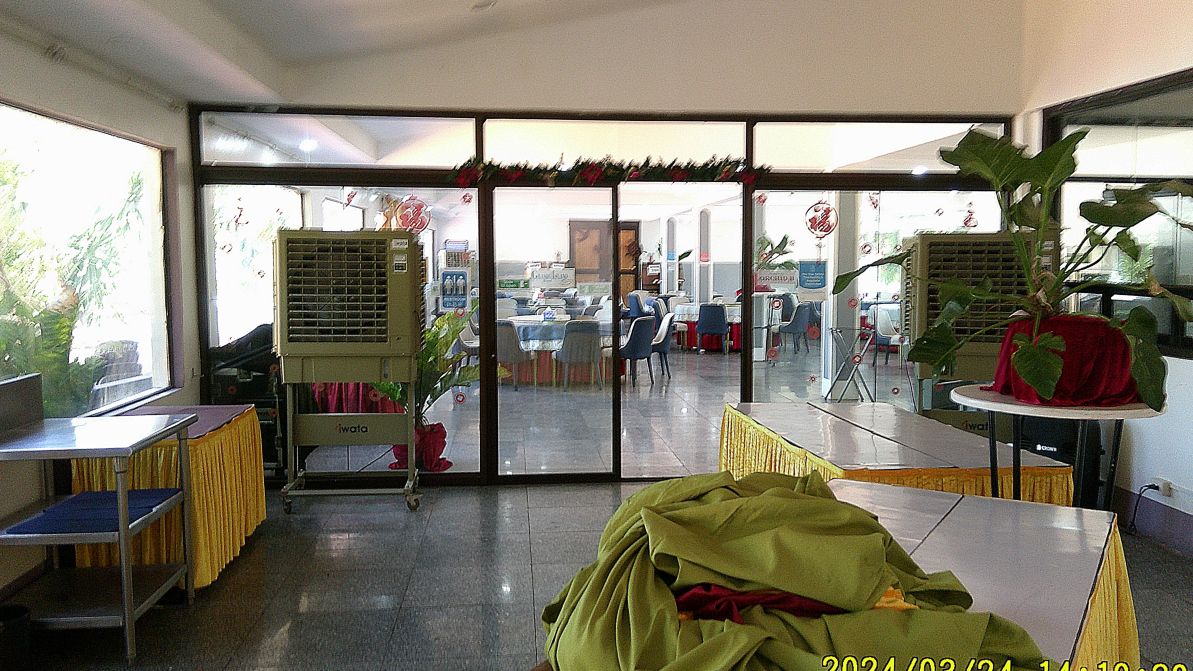
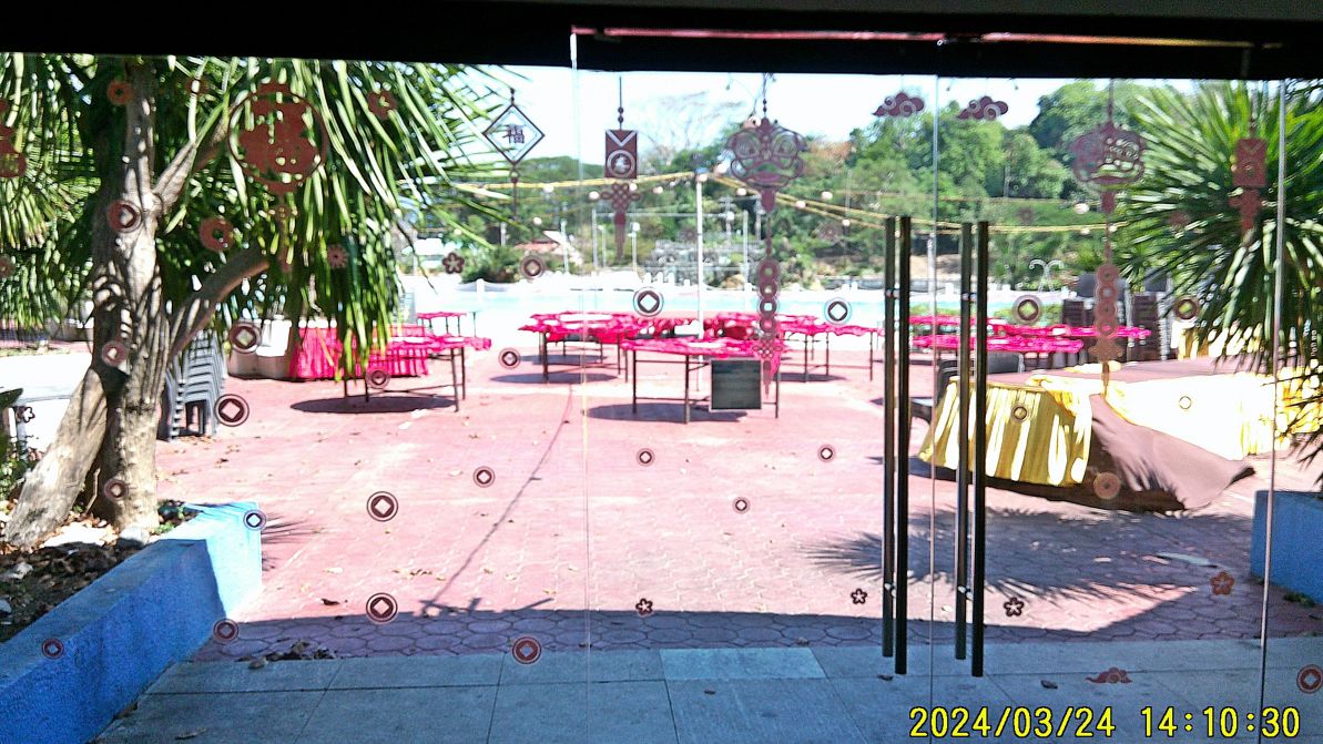
#69 to #72 images show the Grande Island dining, bar and function facilities, and that we accomplished our mission, as promised to deliver the book Relentless Hope: A True Story of War and Survival, by David L. Britt.
#69.
#70.
#72.
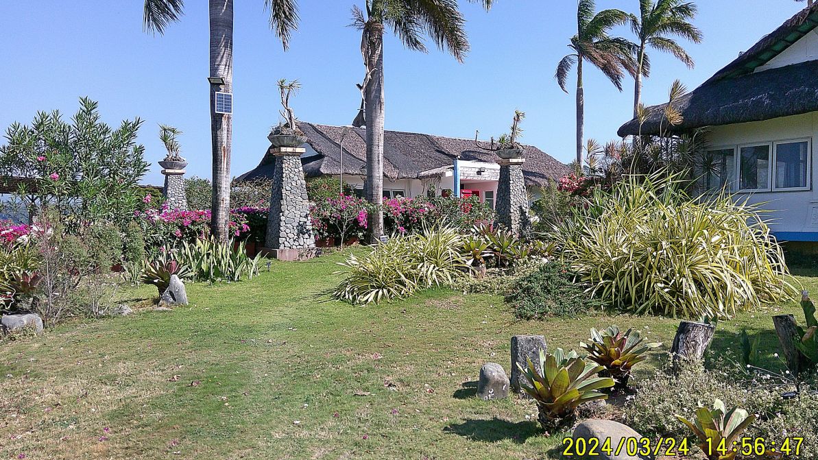
#73 image is one of the first and last view of the Grande Island Resort when you arrive and depart, this is near the head of the Grande Island Pier/Wharf.
===============================================================
Grande Island, ex Ft. Wint 2024 Visit
Third of 4 presentations
2024 Fort Wint, USN Remaining Structures on Grande Island.
This Facebook Presentation has 32 images
My friend Randy Anderson, a retired Naval Officer & main person creating the Hell Ships Memorial decided to visit the Island. We wanted to get an update of present resort on the island and carried out two missions for the authors of the book Relentless Hope: A True Story of War and Survival, by David L. Britt. This is the 3rd of 4 presentations or segments. And a sorry: some of the pictures are not too clear but I use them anyway because I’m telling a story.
If interested, uploaded 66 images to Photobucket, Manila Bay Forts Other group, Fort Wint-Grande Island group, 2024 visit to Grande Island group,
https://app.photobucket.com/u/PI-Sailor/a/e280ef7e-8eb6-4a85-a9f5-6fe73ab65f86?field=TITLE&desc=asc
———————————————————
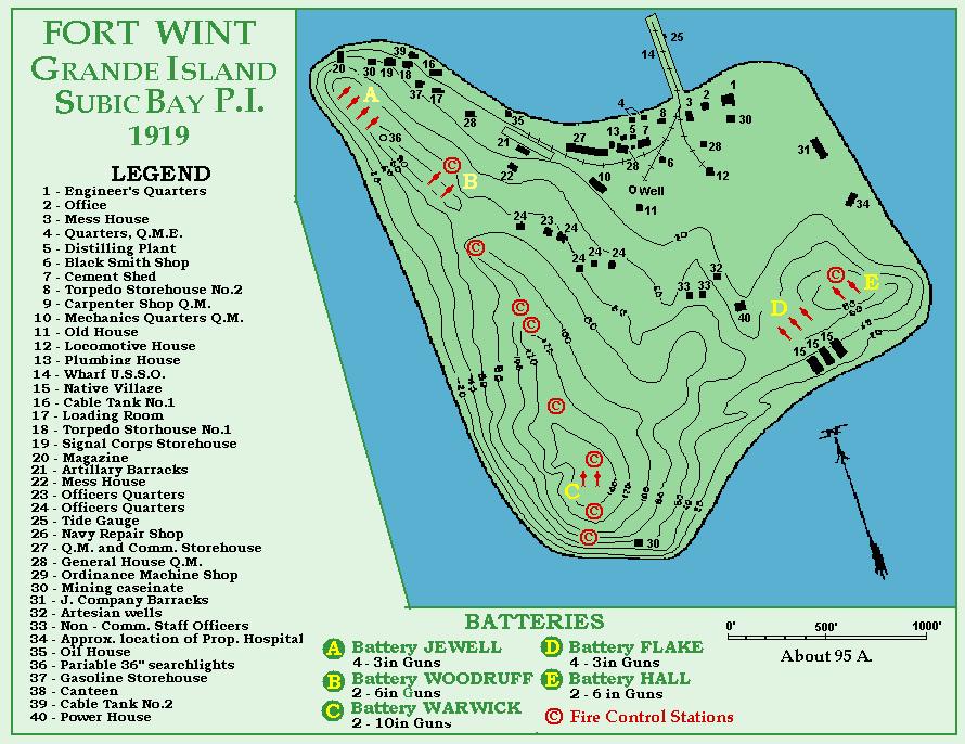
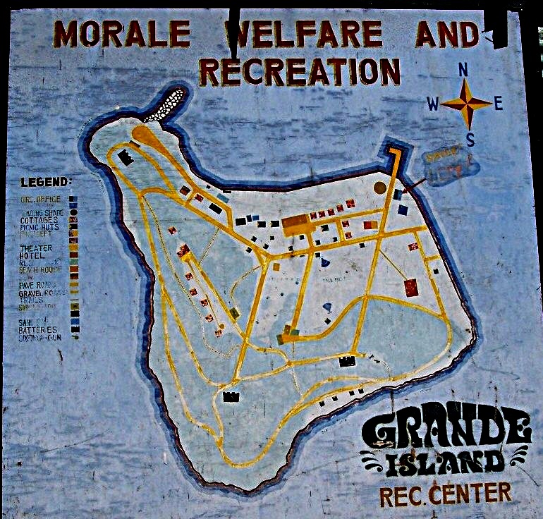
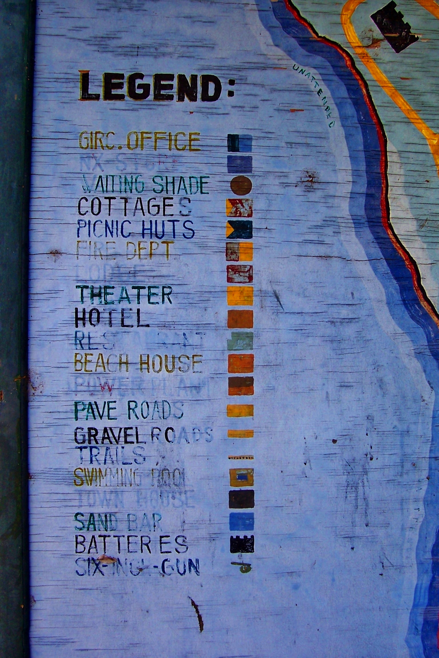
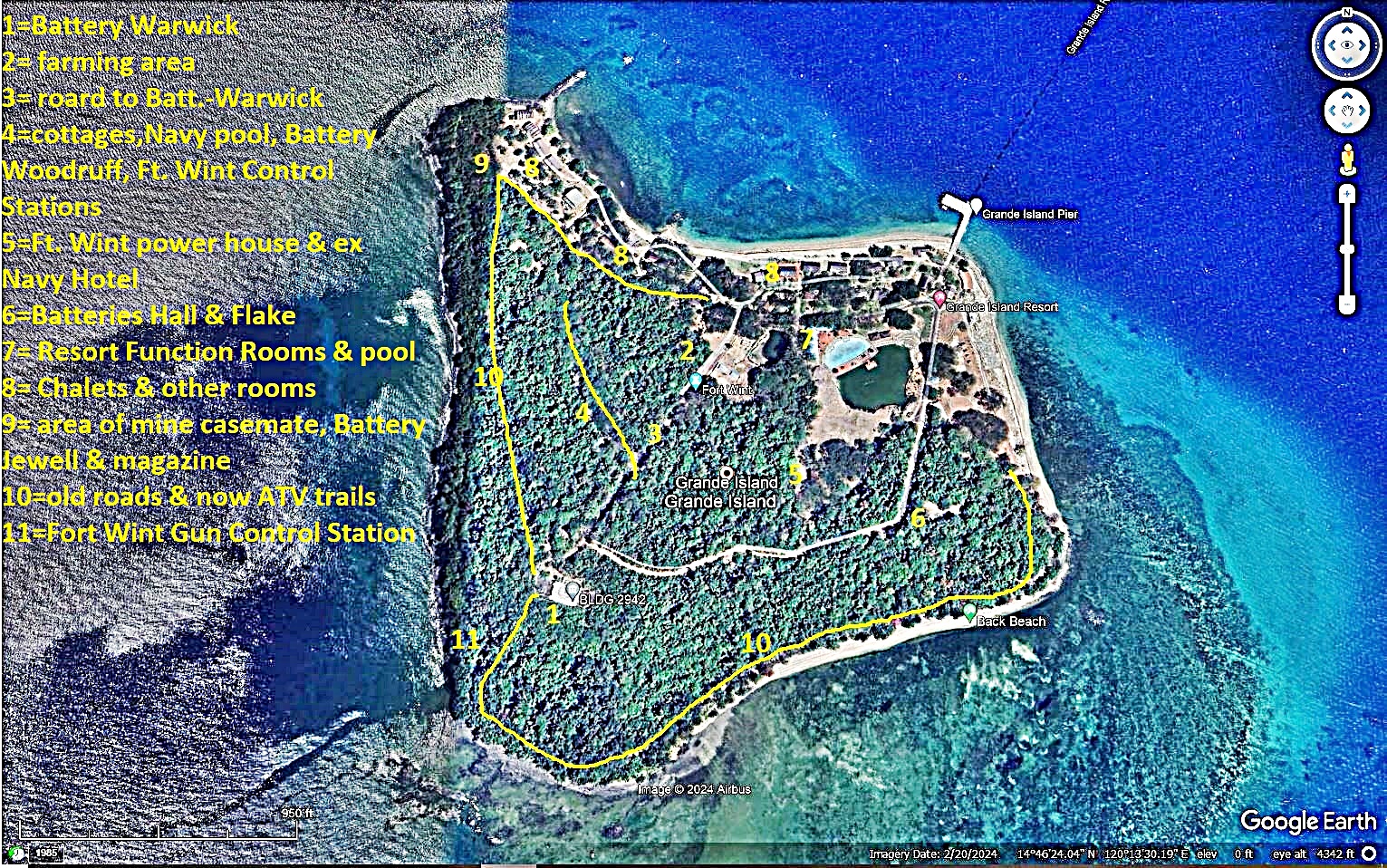
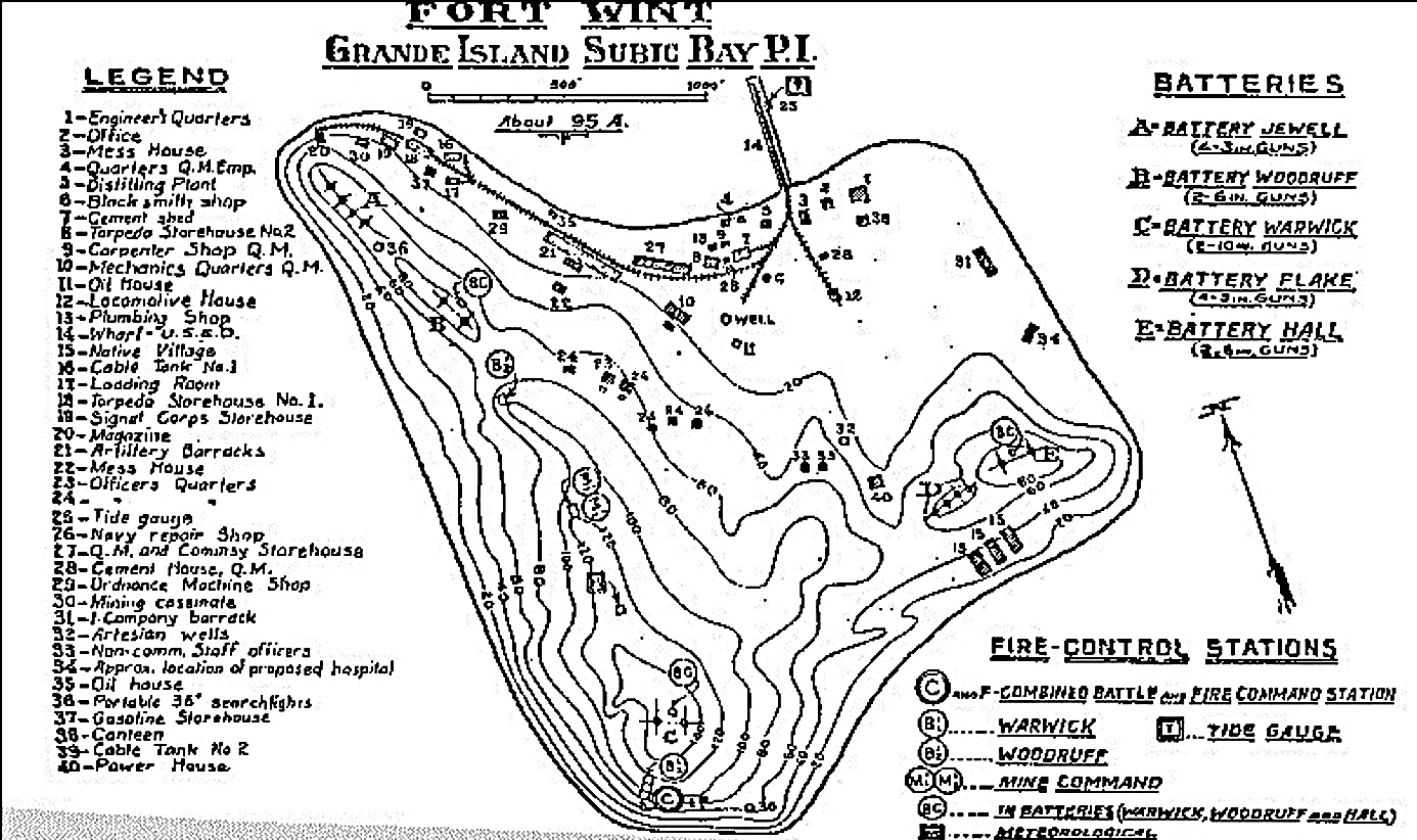
#00 to #05 images are various maps, graphs of Grande Island, the ex Fort Wint. #01 I got from a USN Oiler Webpage, a long time ago. #02 and #03 are a Navy graph which I found on a 4 x* foot plywood still on display on Grande Island in 2004. #04 is a Google Earth graph of Grande Island marked with landmarks of this album. #05 is, I believe, a 1921 US Army graph of Fort Wint on Grande Island.
————————————————————
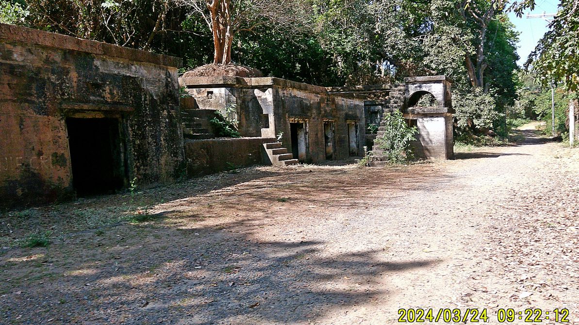
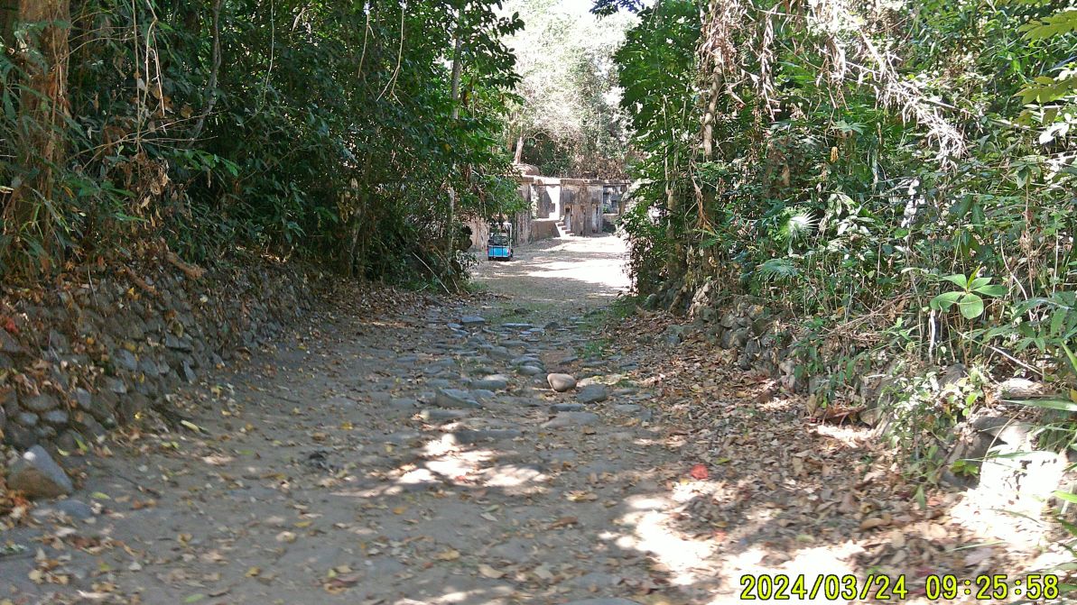
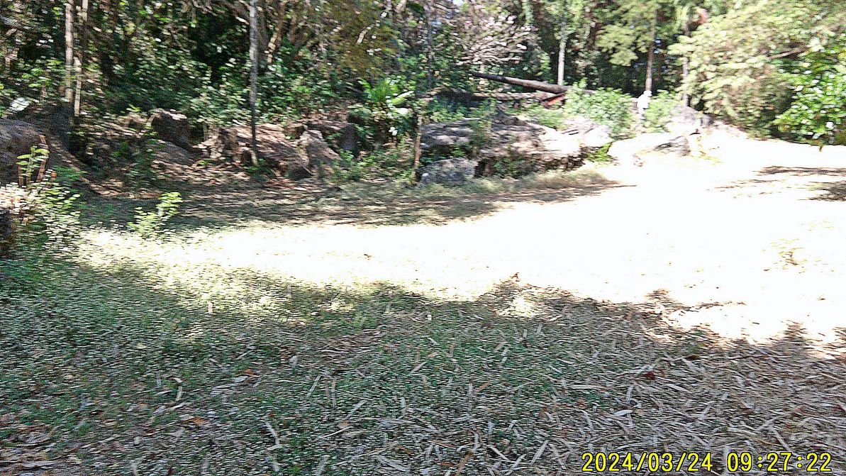
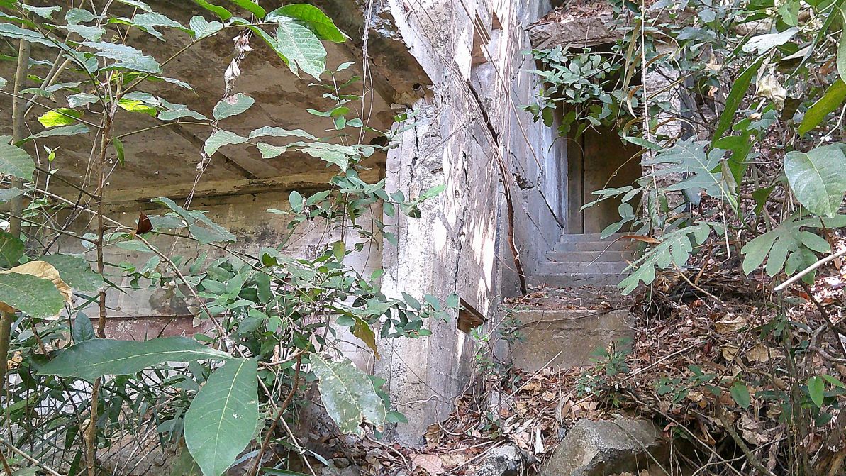
#08 to #14 images are of Battery Hall and Battery Flake. The batteries are accessible and ATVs can drive there and go further.
—————————————————————–
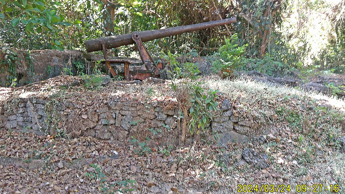
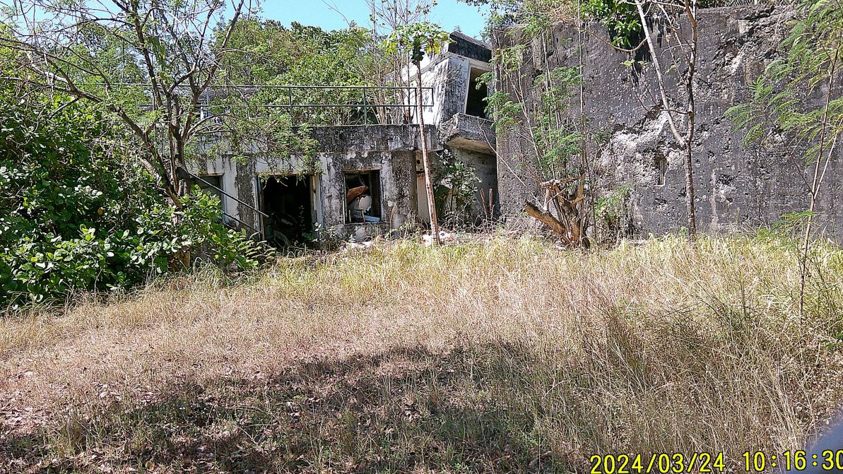
#15 to #17 images is the SW Navy guard tower in the SW corner of Grande Island and is the way we took to the Fort Wint Command Battle Station ( Station C ), pictures #16 and #17.
————————————————————
#18 and #19 images are of Battery Warwick, the two 10Inch guns were transferred to Washington State for display in another Army fort there in 196b. The structure is used for an airport radar sytem and is locked up; hence pictures were shot thru the gate wire. Notice, that the right side (west sde of Gun #1 position is leaning out, the ground under it is giving way!
————————————————————-
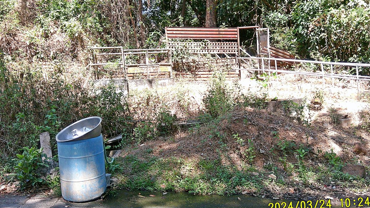
#20 image is the Fort Wint fresh water reservoir structure, a fairly large underground structure. When the Grande Island Resort opened in about 2004 , I believe, they used it. It is located just north of the present Battery Warwick security gate. On this visit we noticed a large metal water tank is installed now in the open, at the north end of the former Navy Hotel Building, (a former Ft. Wint structure).
—————————————————————
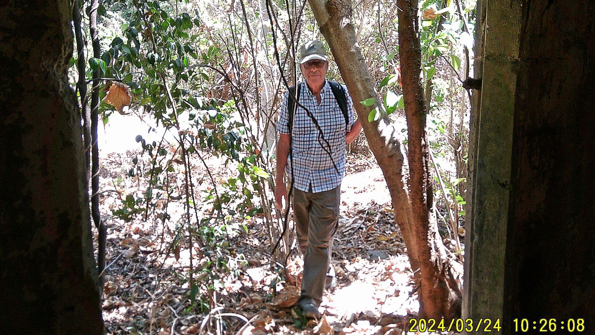
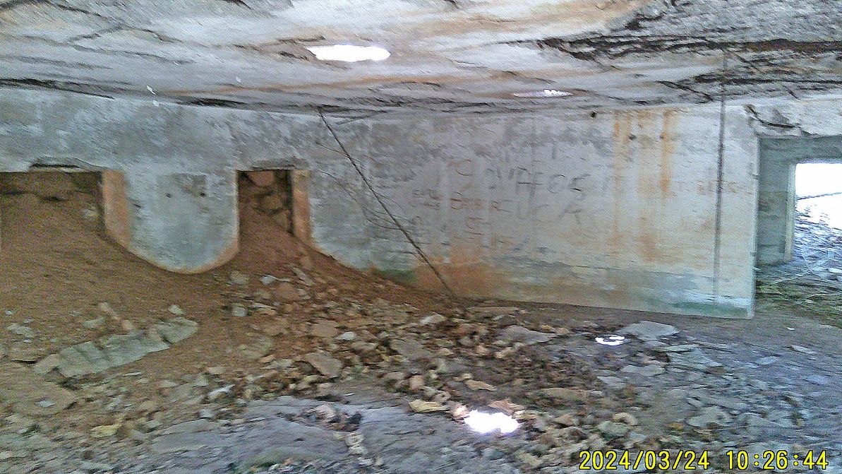
#21 to #24 images are of the Fort Wint Telephone Exchange; this is what the expert people of the Coastal Defense Study Group (cdsg) have told us. It is located next the north perimeter fence of Battery Warwick but it is completely grown over and you would have to look hard and enter the bushes.
———————————————-
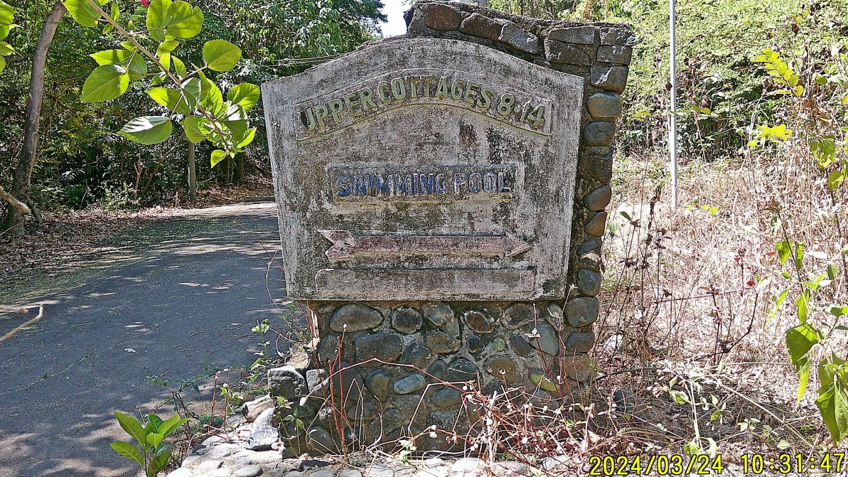
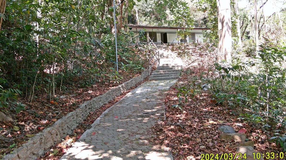
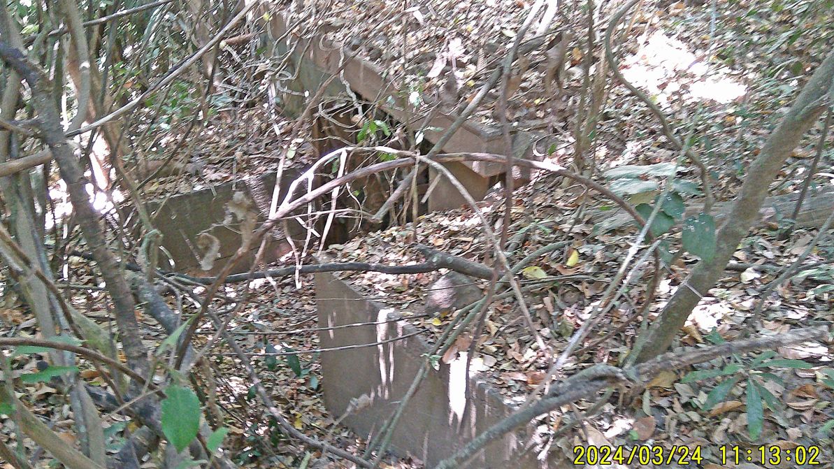
#25 to #30 images are of the area of the first Navy Cottage, right now, it is used by workers on the island, and a nice pathway has been built to it. We don’t really know who built the cottages and the pool. In the Corregidor.org WebPages is a story that the CIA had the island for their use after WWII for some time. The Navy cottage and pool sign still stands. My purpose on this visit was to see, whether I still can find the Ft. Wint radio building and the Army Mine Fire Control station which I found. Good garden snippers or pruning shears would be useful to get into the structures; they are located near the first cottage.
—————————————————————
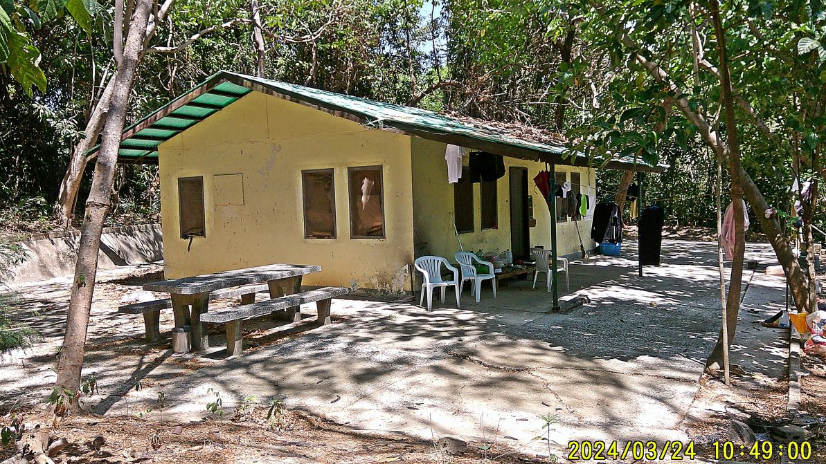
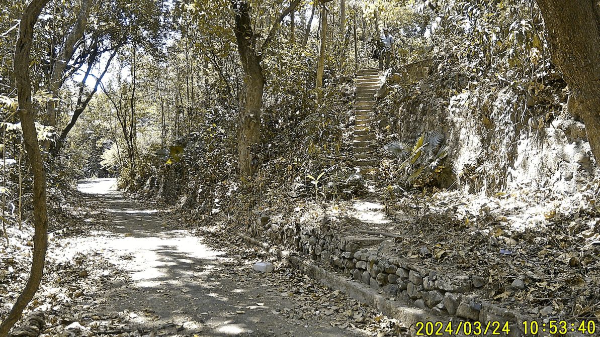
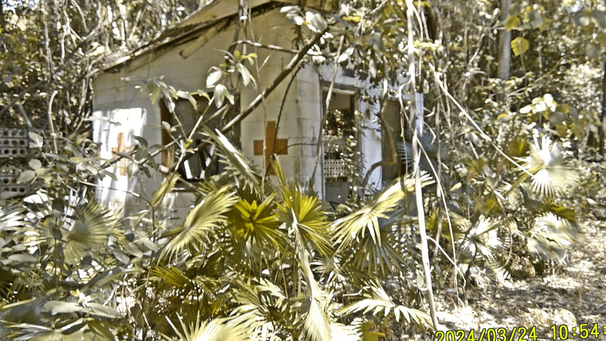
#31 to #36 images are of the Navy Pool, or was it a CIA pool. At the next cottage, the 2nd one (also used by workers) I went down the stairs to the pool, looked back in one picture and took pictures of the sad condition of the pool. It is filled up with trash.
————————————————–
#37 to #40 Images are of the 3rd cottage which is in bad shape and is not used right now. I believe, this is the spot of Battery Woodruff but I did not verify that but I did go in the bushes and found Battery Woodruff gun control station.
———————————————————-
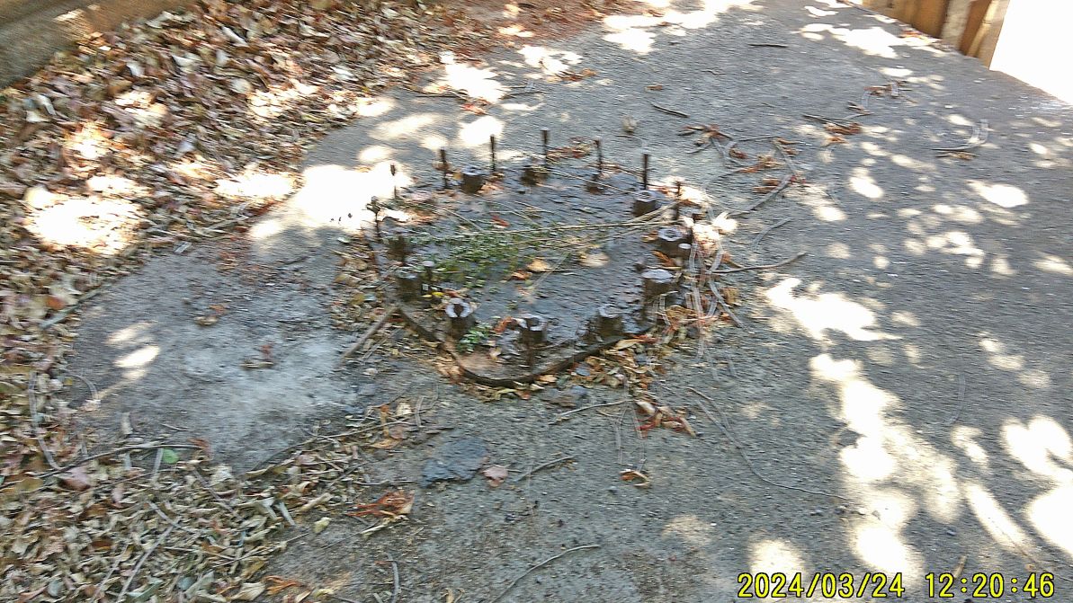
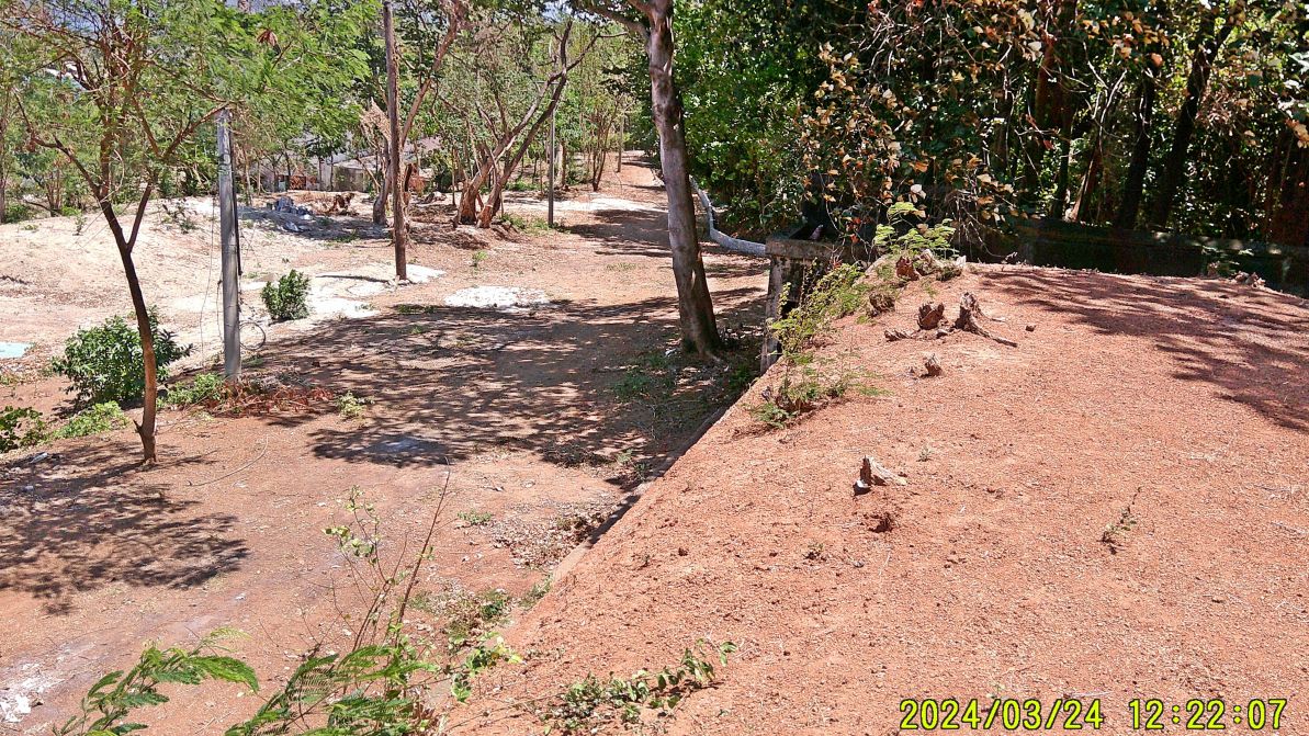
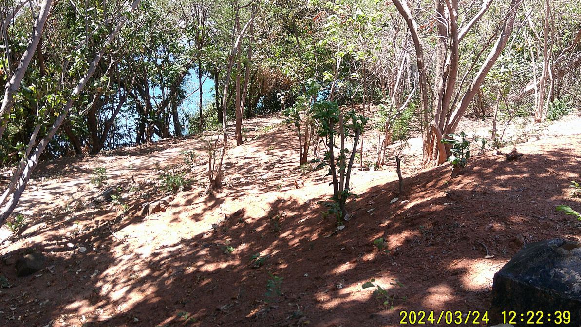
#41 to #47 images are of Battery Jewell, the Grande Island Resort cleared this area nicely to enjoy the structure and surroundings. In image #42 the studs that held the pedestal of one of the 3Inch guns in place are rusted down needle thin.
———————————————————-
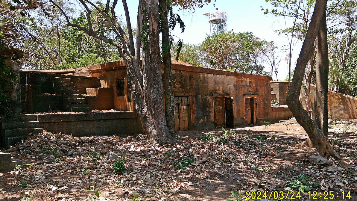
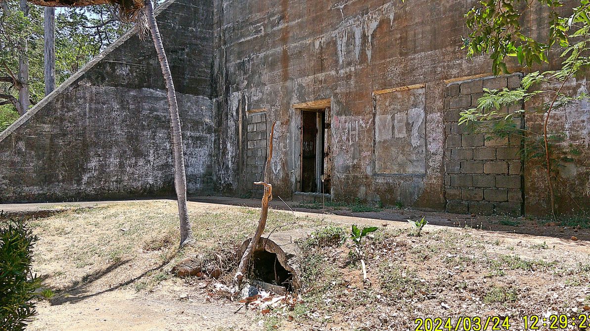
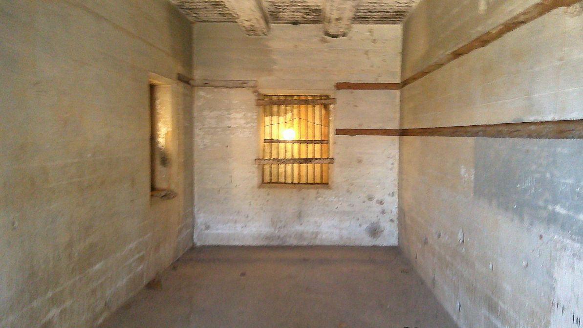
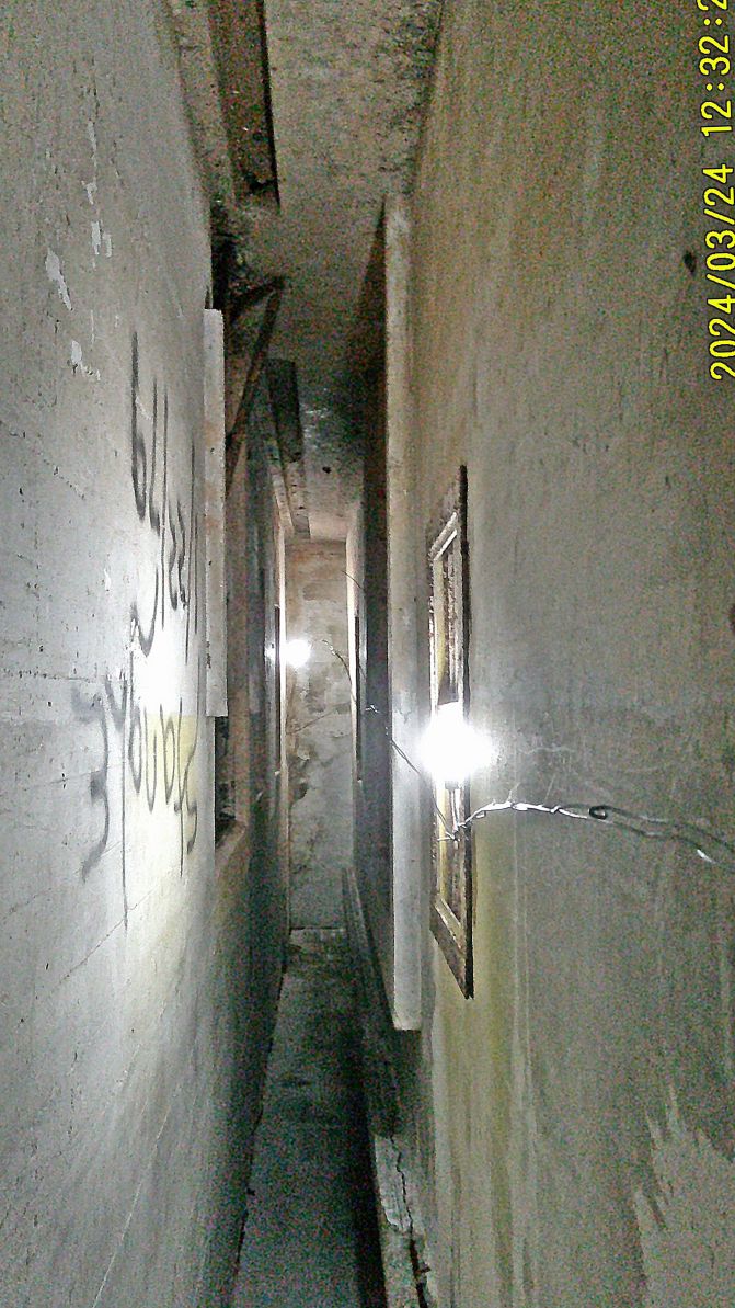
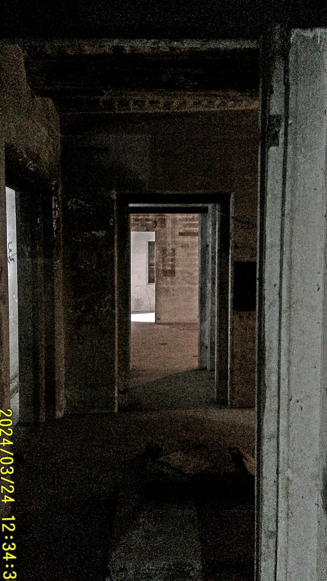
#48 to #57 images are of the Mine Casemate, on top which has been cleared of scrub. Also the Grande Island Resort opened one door, a few years ago, which to my knowledge the Navy had masoned shut during our management.
————————————————
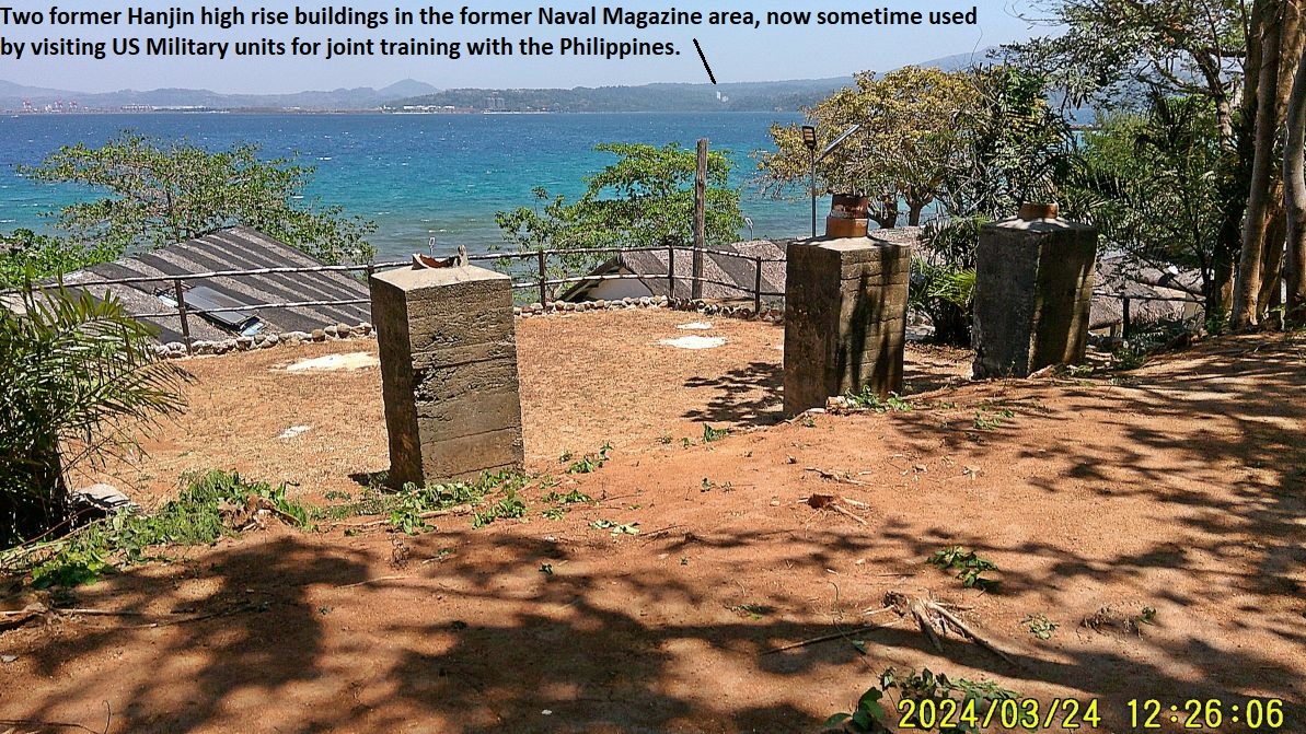
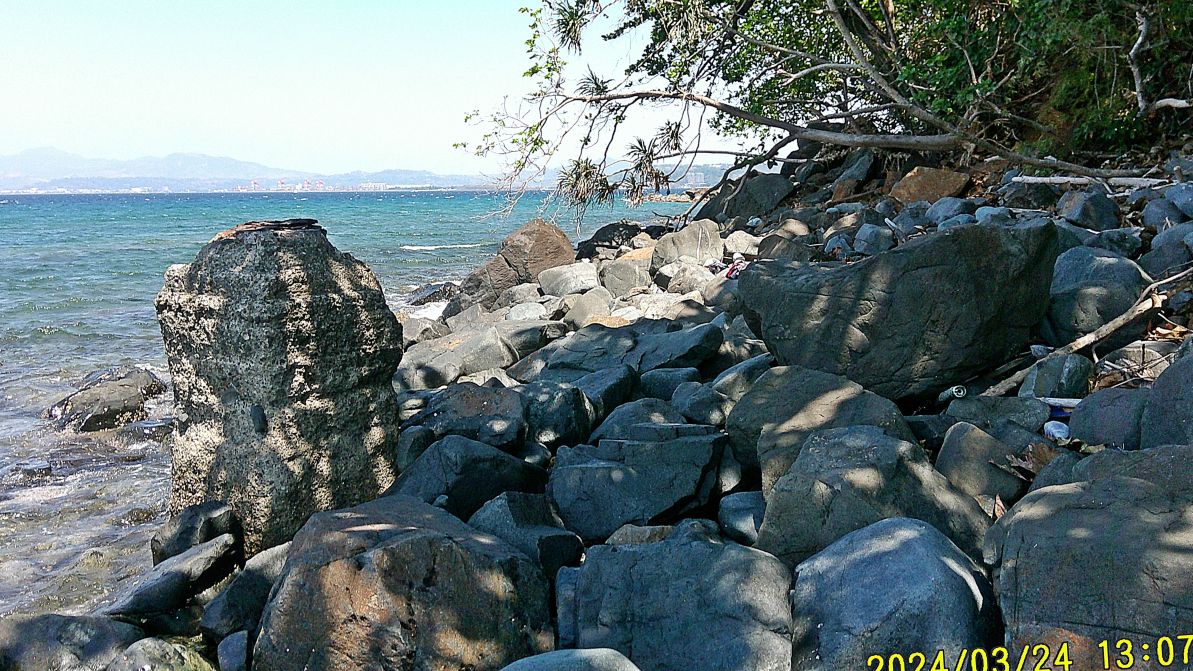
#60 and #61 images are of two other small concrete structures that served some purpose in the past, perhaps part of the system to place the mines in place, Army or Navy mines. These 2 concrete blocks were only about 50 feet further south from the Magazine entrance. On other visits I spotted large steel pad eyes imbedded into large concrete bases, along this Grande Island coast
——————————————————————-
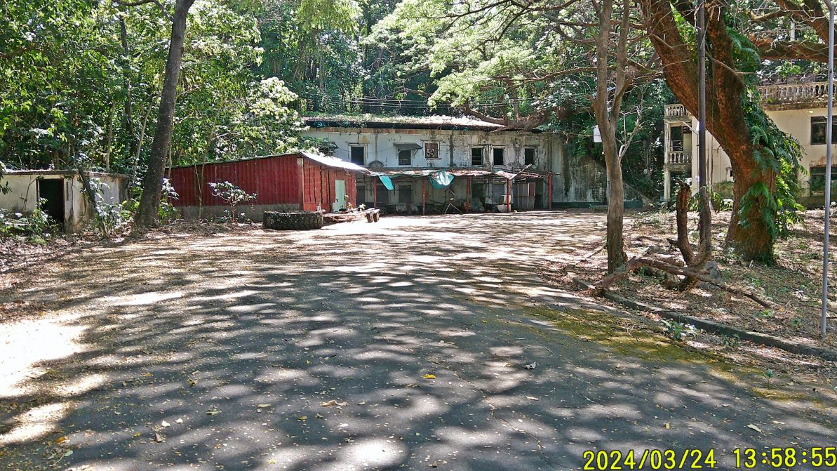
#62 to #65 images are of our final walk to the former Ft. Wint Powerhouse, still flanked by two large coal bins to fire the steam generators early last century. Inside we found a new installation since 2021, but I don’t know what it is for.
=============================================================
Grande Island, ex Ft. Wint 2024 Visit
This is the Fourth and last of 4 presentations
Grande Island Beaches & Views from the Island
This presentation in Karl’s web has 20 images.
My friend Randy Anderson, a retired Naval Officer & main person creating the Hell Ships Memorial decided to visit the Island. We wanted to get an update of present resort on the island and carried out two missions for the authors of the book Relentless Hope: A True Story of War and Survival, by David L. B Grande Island, ex Ft. Wint 2024 Visit
—————————————–
#01.
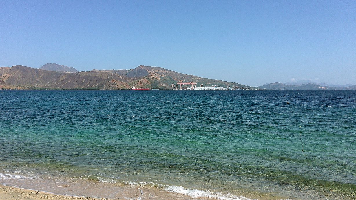
-#01 & #03 images are views of the former Hanjin Shipyard, which is now under new management and has this name: Agila Subic.
——————————————————
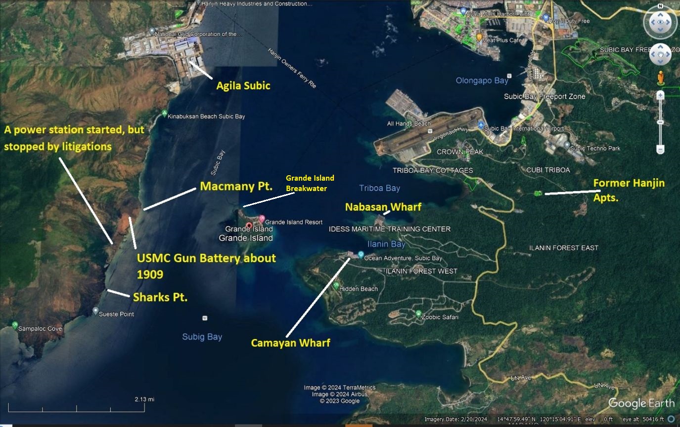
-#02 image is a Google Earth graph with the landmarks of this album.
————————————————————-
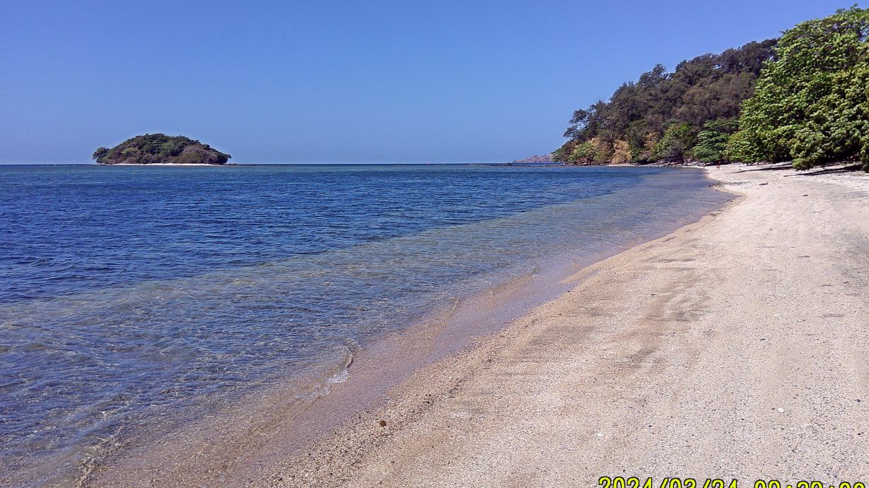
-#04 image shows Chiquita Island and the South Beach of Grande Island.
——————————————————————-
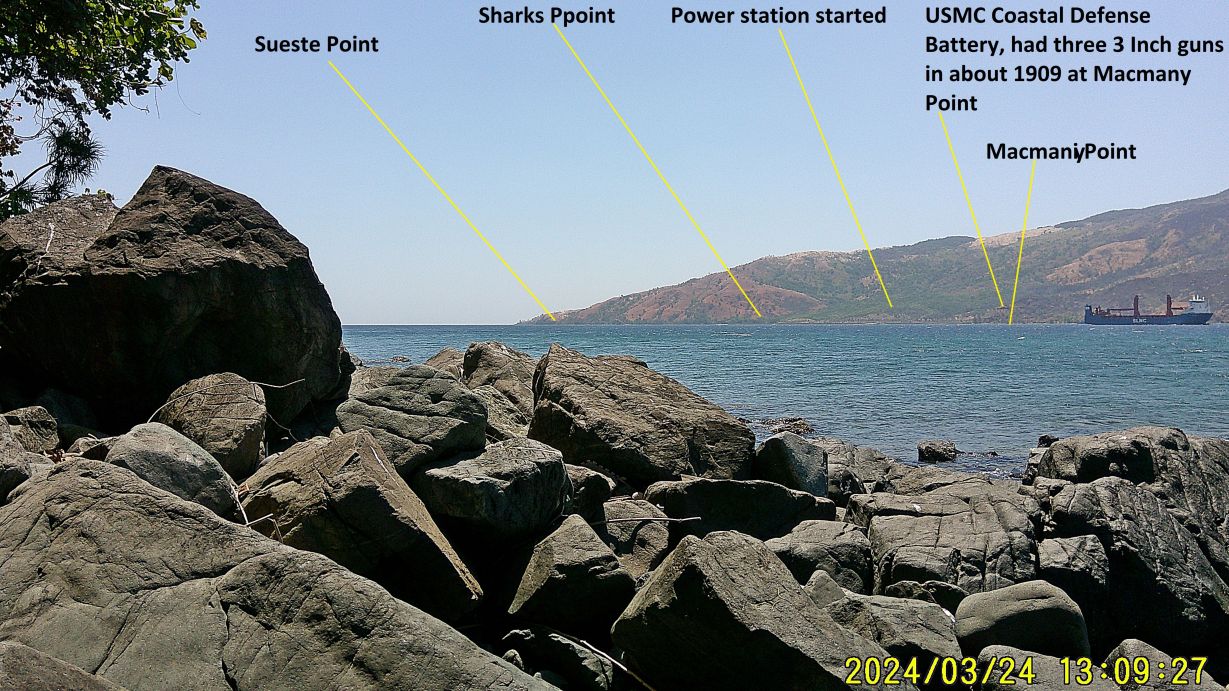
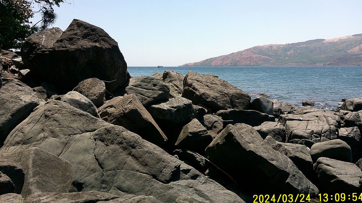
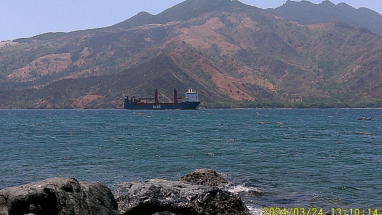
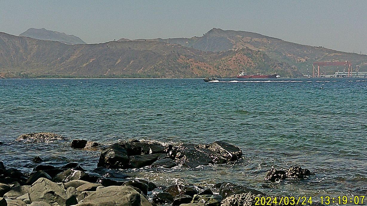
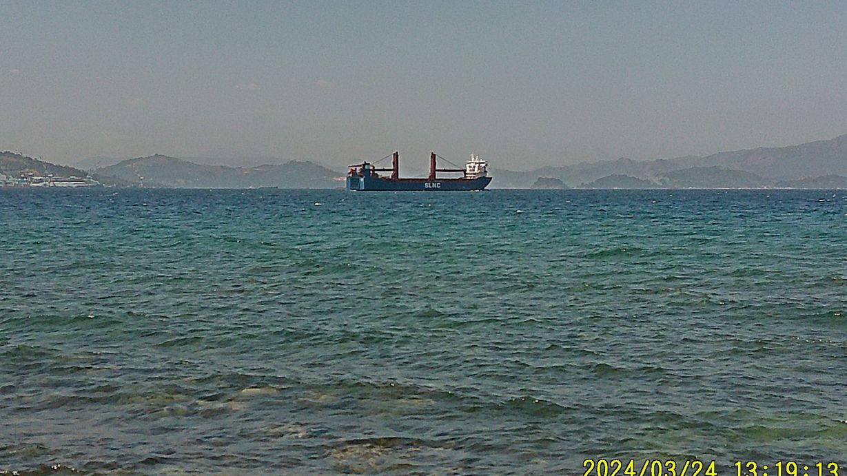
-#05 to #28 images were all shot from the Grande Island Breakwater area and about 100 meter south along the rocky shore. We saw a lot of crafts and a strange looking ship go by. Many shots are of the Redondo Peninsular Shore across the channel. We see concrete remains, which I believe had something to do with blocking the channel with mines.
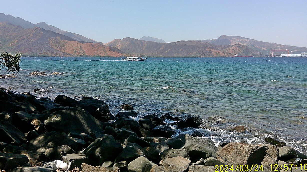
#08.
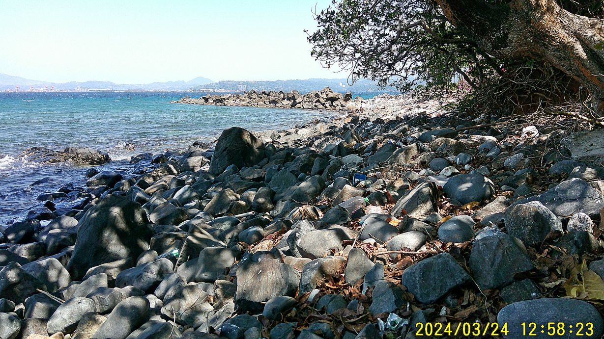
#10.
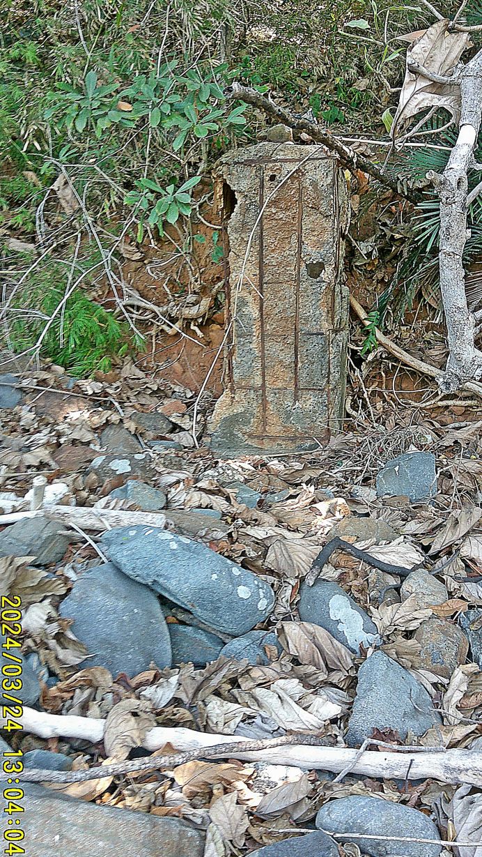
#13.
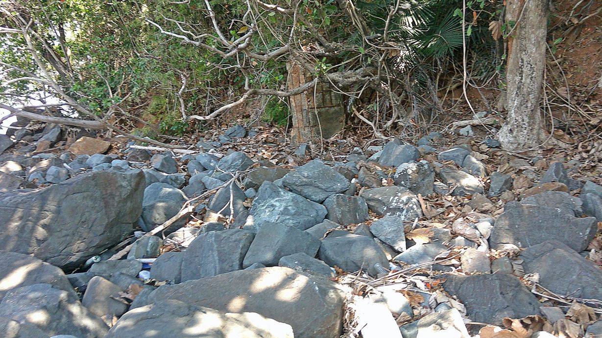
#14.
#17.
#19.
#20.
#27.
#28.
—————————————————————-
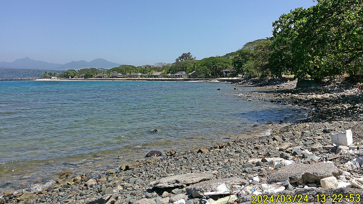
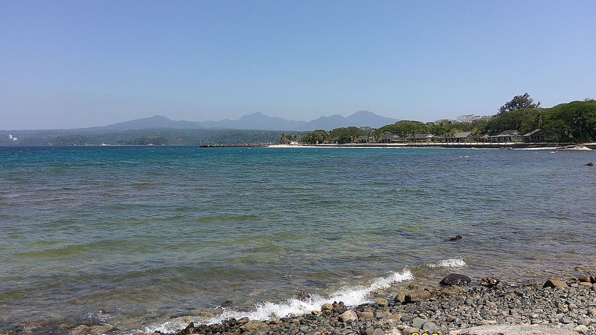
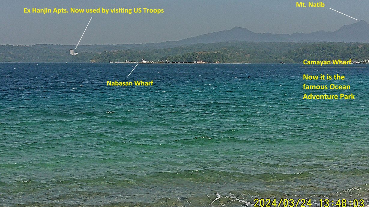
-#29 to #35 images were shot from the North-Shore of Grande Island and show views the former Cubi Point Naval Air Station and the former Naval Magazine area. The first three shots show the Grande Island North Shore.
#30.
#31.
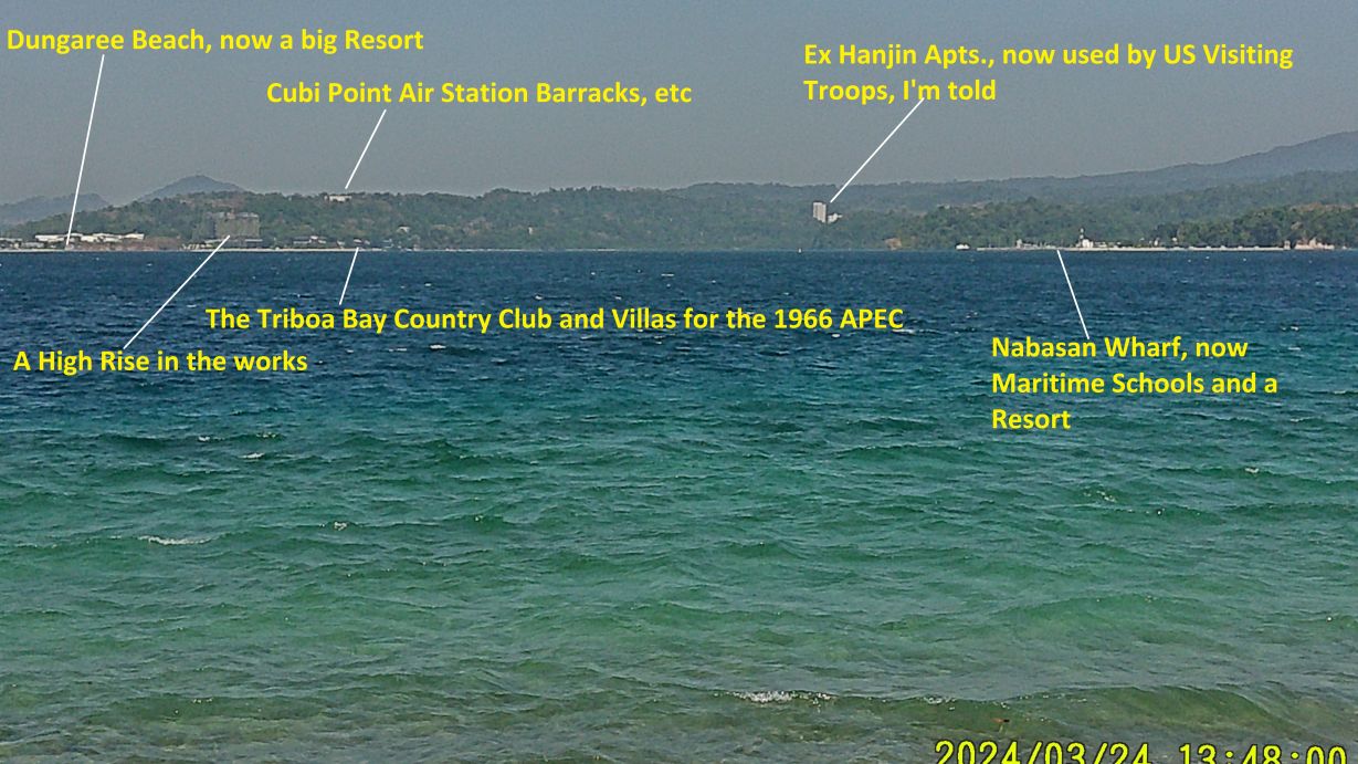
#33. The APEC Meeting occurred in 1996, my typo mistake!
#34.
————————————————————–
If interested, uploaded all 35 images of this 4th segment to Photobucket, Manila Bay Forts Other group, Fort Wint-Grande Island group, 2024 visit to Grande Island group. This is one of 4 presentations or segments, click here.