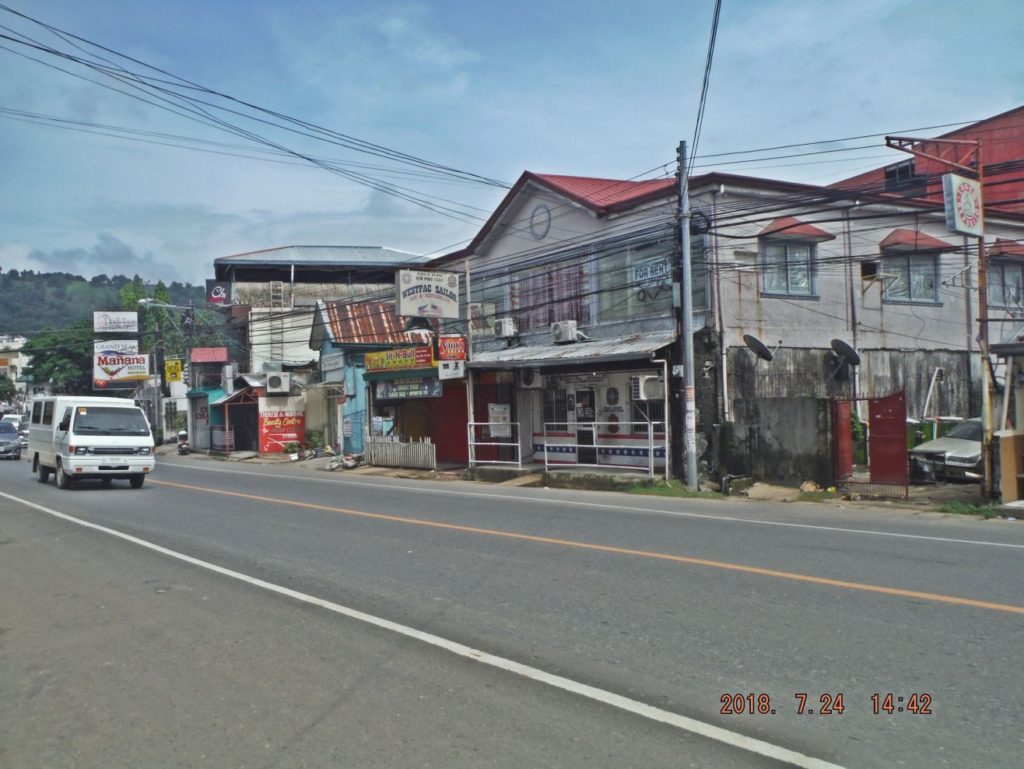
On the 24th of July 2018 I took a walk from Barrio Barretto, thru SBFZ, the former Naval Base and then walked to the Olongapo Market. On the 25th July I walked thru Barrio Barretto. These pictures were shot during these two walks.
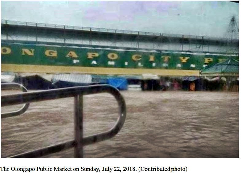
Heavy rainfall floods 16 villages in Olongapo
By: Joanna Aglibot – @inquirerdotnet
Inquirer Northern Luzon / 10:27 PM July 22, 2018
Read more: click here:http://newsinfo.inquirer.net/1012861/olongapo-flooding#ixzz5NOAZ7sKK
Follow us: @inquirerdotnet on Twitter | inquirerdotnet on Facebook
OLONGAPO CITY — Sustained rainfall triggered flooding in 16 villages here on Sunday (July 22), prompting 343 families, many from Barangay Sta. Rita, to stay in evacuation centers.
Heavy rain also caused a landslide at the Subic Bay Freeport.
Many residents posted their condition over social media to seek aid.
The Olongapo government suspended classes in all levels in public and private schools on Monday (July 23).
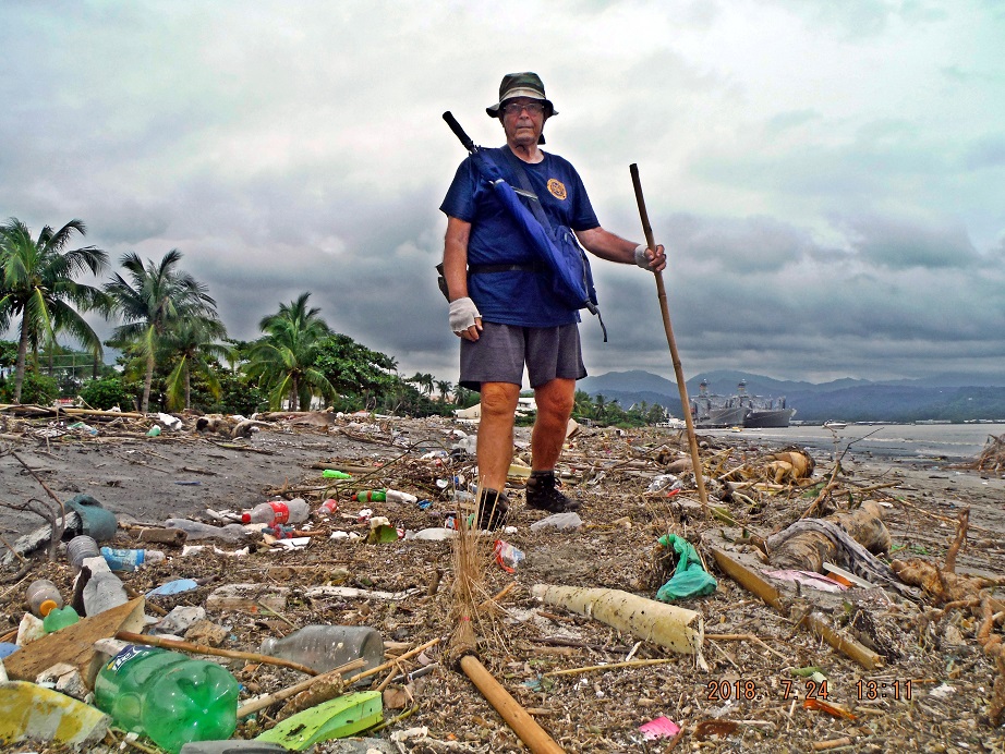
Zc472. Karl on his walk thru SBFZ 2018-07-24, much of this trash ended up here on the Subic Bay Freeport Zone Beach because of the heavy rains on the 22nd Jul.Notice the two U.S. Military Sealift Command (USNS) ships, they are oilers, moored in a nest along the Alava Extension Wharf. These types of ships are often in port here.
Zc473. This is Jolo Street, where it intersects with Rizal Street (dead ahead) in Barrio Barretto. I live on this street but to the rear of this picture. And where I live it is higher and we did not have this problem.
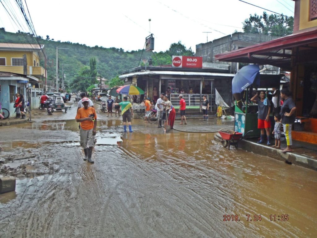
Zc474. This is the intersection of Dagupan St. and Rizal St. at the Barretto Market, called Tally Papa (not sure about the spelling). The dirty water was at least a foot deep or more here, they used fire fighter water truck to wash down this intersection.
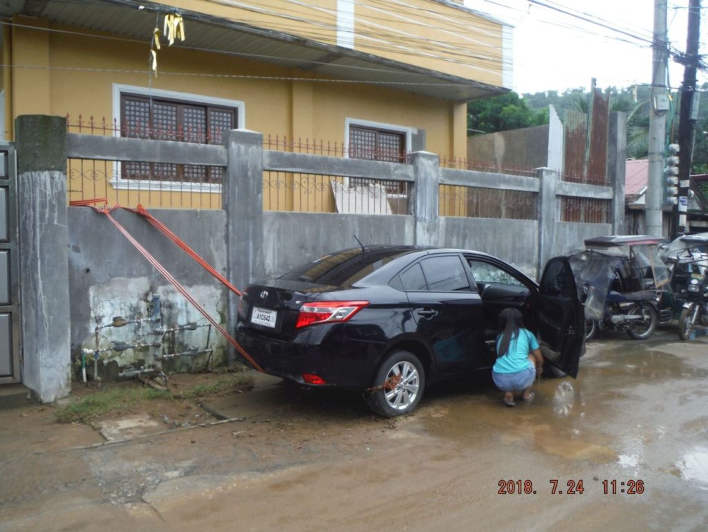
Zc475. I walked down the Dagupan Street in Barrio Barretto, a car had to be tied up so it did not float away but it got flooded. Other houses had sand bags piled up in front of their house doors. Remember this was about two days after the heavy rain.
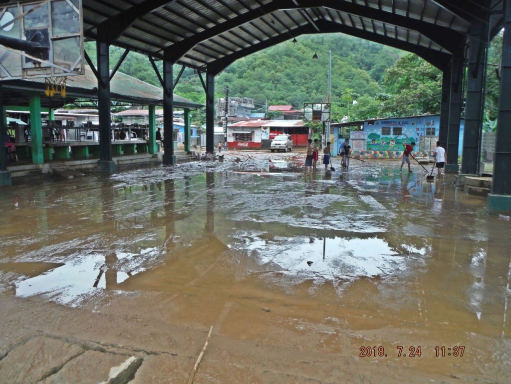
Zc476. This public utility place near Dagupan Street in Barrio Barretto got flooded. Left is an example that people do not always agree with the Government, market stands were built there but the people do not want to use them. The market stands remain on Rizal Street where they cause traffic congestion but that is where the people like and use those stands where they are; Barretto’s Tally Papa.
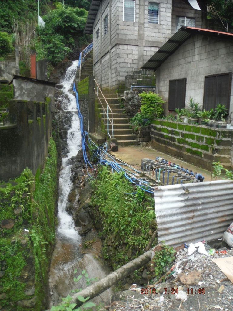
Zc477. Walking on the National Road from Barrio Barretto to the Kalaklan Gate of the SBFZ, this is above Sierra Beach, just leaving Barretto. This picture is interesting because of several reasons- the water rushing down and the fresh water connections, they are new, and maybe a year ago all these people living here on the slopes got their fresh water connection-FINALLY!
A thought, why are there so many floods and landslides? There are too many people and no room to live except to build residences on these slopes all around Subic Bay. Do we need to curb this uncontrollable population increase and or do we need better living standards to afford high rise apartment?
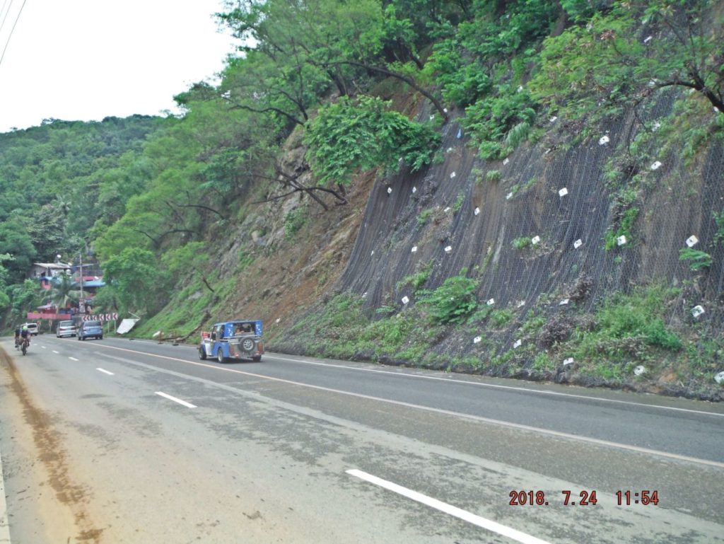
Zc4778. Along the National Highway from Barrio Barretto to the Kalaklan Gate of the SBFZ at 3 places, were these wire nettings, against landslides, installed, this one is about 1 km from Barretto and so far these installations have not failed yet.
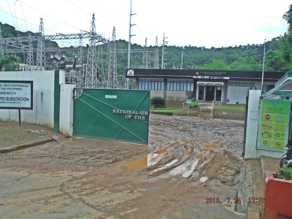
Zc479. Walking on the National Road from Barretto to the Kalaklan Gate of the SBFZ; this is power transformer station at Halfmoon Beach/Valley, it looks they got hit by the flood also. I had to run my generator for 30 hours.
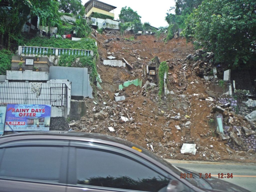
Zc480. The Olongapo City cemetery, near the Kalaklan Bridge suffered two landslides, this is the bigger one and made the National news.
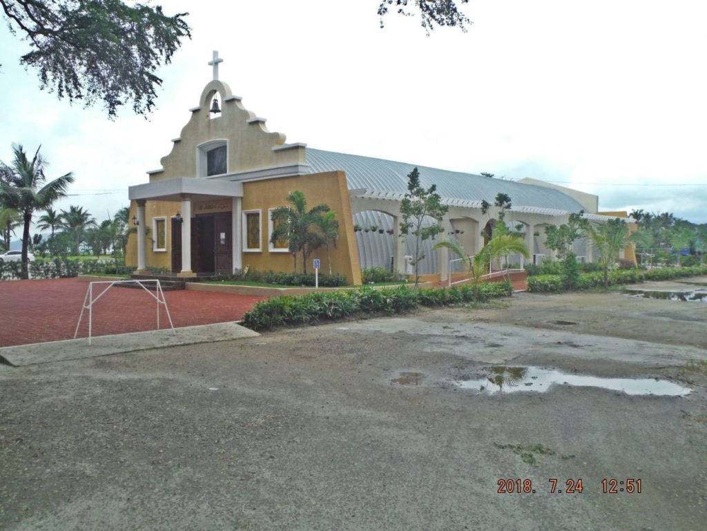
Zc481. This post Mt. Pinatubo large Quonset type hut was modified to become a church. This is near the Kalaklan Gate. The large Quonset type huts were built by the Navy after Mt. Pinatubo to replace some collapsed buildings.
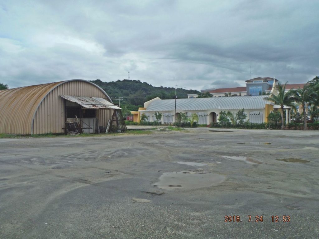
Zc482. After the Mt. Pinatubo explosion the Navy built several of these large Quonset type huts. These two are near the Kalaklan Gate; this is a nice comparison view before and after.
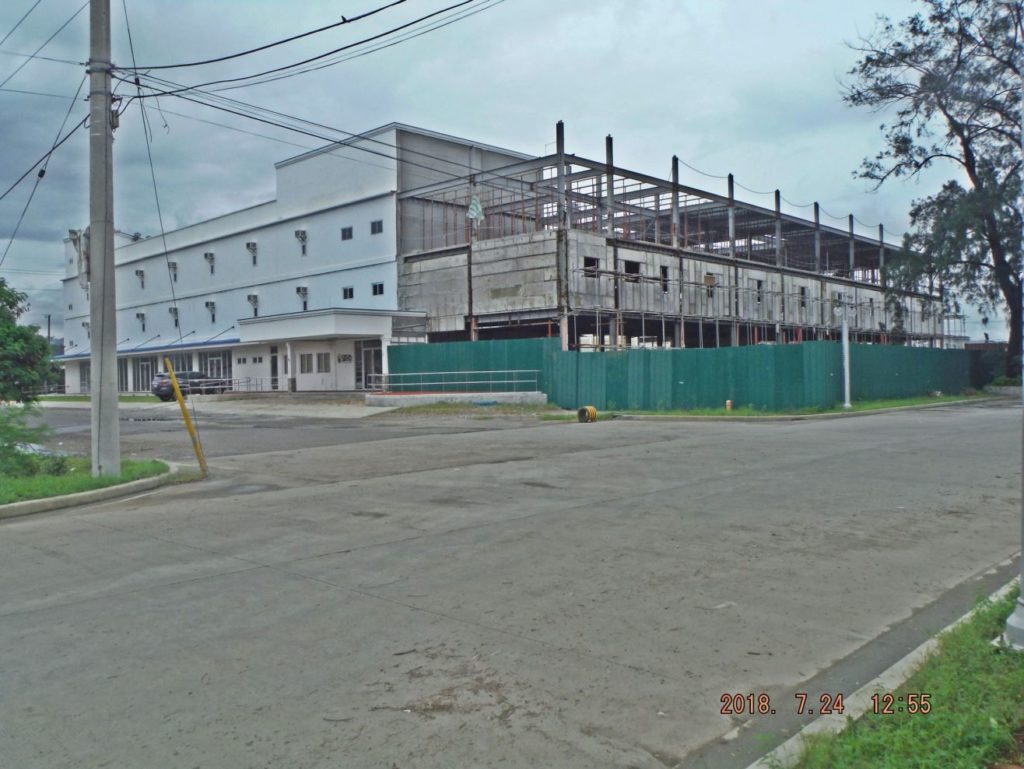
Zc483. This is a new Hostel and Dormitory that just opened 3 month ago and they are expanding. It is located near Kalaklan Gate where the former Naval Investigating Office used to stand.
Zc484. One new something has been built here near the Kalaklan Gate, where the Navy Investigating Service (NIS) Building used to be. Much of the old Naval Station is now called the Central Business District area of the SBFZ. The area on both sides of the old Water Front Road is now the Moonbay Marina District.
————————–
When I made these two walks I generated 64 images and I put them into this Photobucket album, click here if you like to look at those 64 images:
About 60 of those images I also put them into this Facebook album, if interested, click here:
————————-
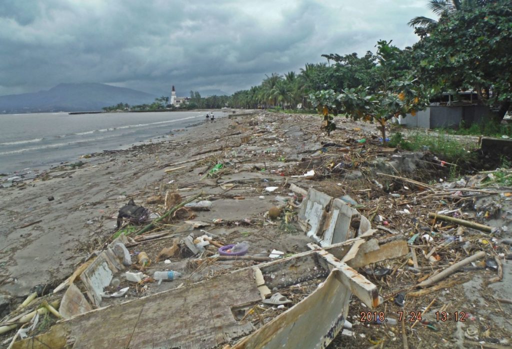
Zc485. One of two shots of the beach along the old Water Front Road of the former Naval Station, this area is now the Moonbay Marina District. Karl on his walk thru SBFZ 2018-07-24, much of this trash ended up here on the Subic Bay Freeport Zone Beach because of the heavy rains on the 22nd Jul. SBFZ had the beach cleaned up in about 10 days, what a job! This happens every time during heavy rains. Too many people live on the slopes of the surrounding hills of Subic Bay.
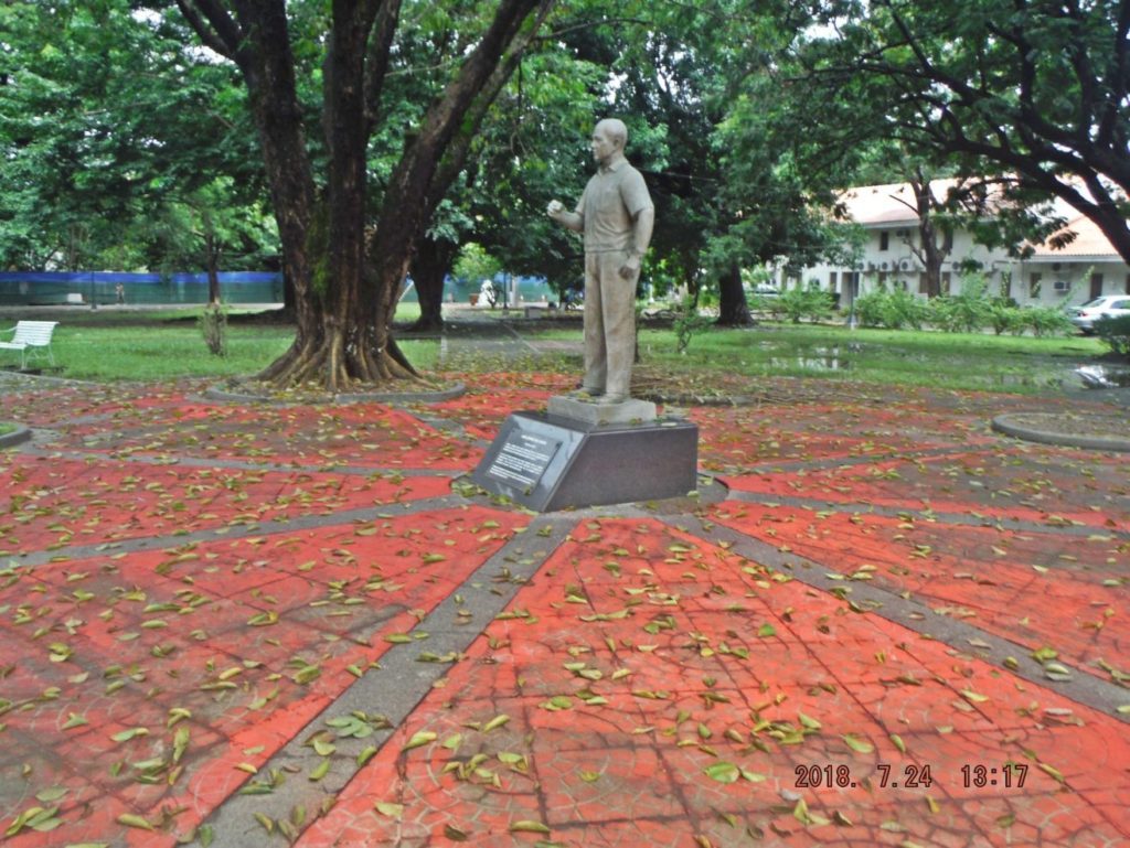
Zc486. This is the Tappan Park of the former Naval Station, the park is not always maintained the way it should. It, the church, and the Spanish Gate are about the only things left from the pre WWII Olongapo Naval Station. After we (the US Navy) left in 1992 a stature of James Gordon Sr. was added.
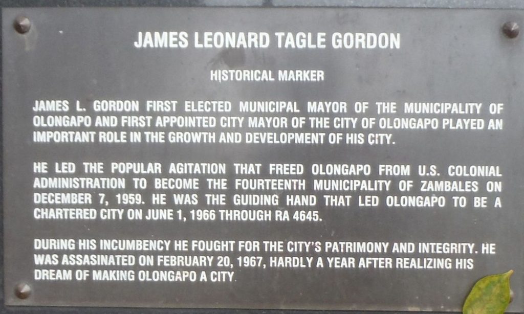
Zc487. This is the Tappan Park of the former Naval Station, the park is not always maintained the way it should. It, the church, and the Spanish Gate are about the only things left from the pre WWII Olongapo Naval Station. After we (the US Navy) left in 1992 a stature of James Gordon Sr. was added.
Zc488, This shot is along the Rizal Extension Ave. in Olongapo City, the rotunda is still there; the traffic routing changed (one Way-good I think) and new tall and large buildings went up.
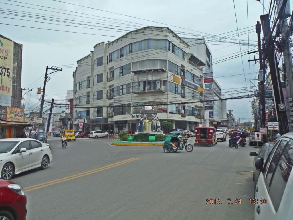
Zc489. This is a shot of the circle, rotunda, at the intersection of Magsaysay Drive and Rizal Ave. in Olongapo. Straight ahead the road is called Rizal Extensions and the traffic now runs ONE WAY along Rizal Extension, before the drainage canal, the traffic must turn left or go straight across the Rizal Bridge into SBFZ. Then at the main gate bridge, the traffic turns left again and follows Magsaysay Drive ONE WAY back to the rotunda.
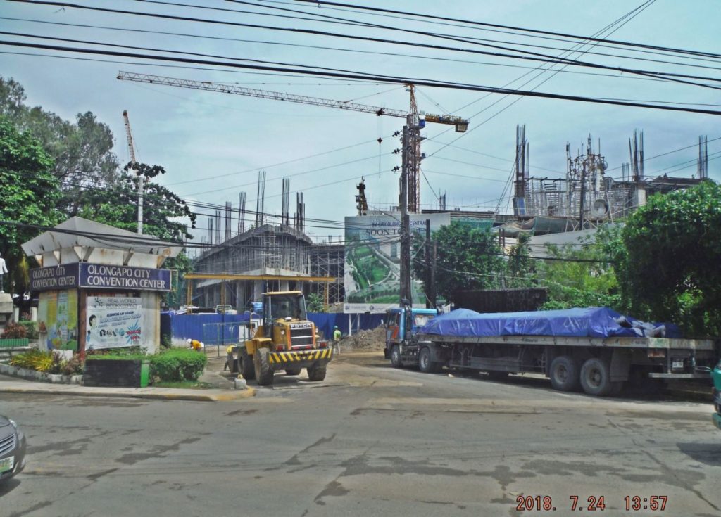
Zc490. This is the Hospital Road, next to the Marikit Park and used to go the hospital, museum and the convention center. All three establishments are torn down, are gone and a 2nd and bigger SM Mall is going up.
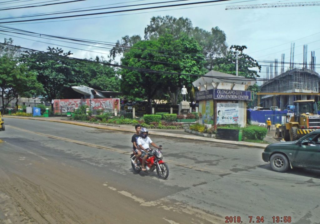
Zc491. This is the Marikit Park area in Olongapo City. We see the Marikit Park with one of the former USN fighter planes which were mounted on the former base but were put here and we see the new SM Mall going up. The 2nd USN fighter planes was near the former convention hall, at this time I don’t what happened to that plane.
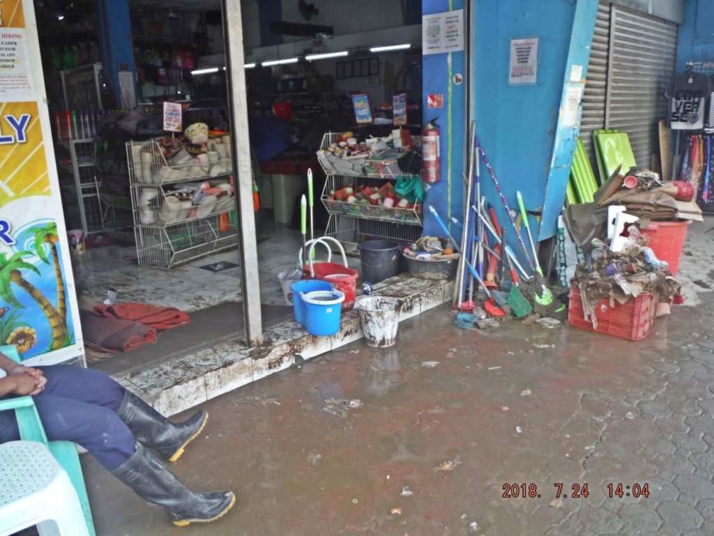
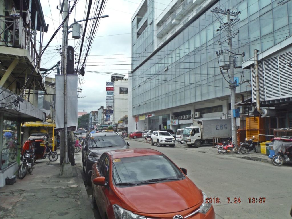
Zc492. This is one of three images on Rizal Ave. near the Olongapo Market, as the lead picture showed it flooded here about hip high and the shops are cleaning up.
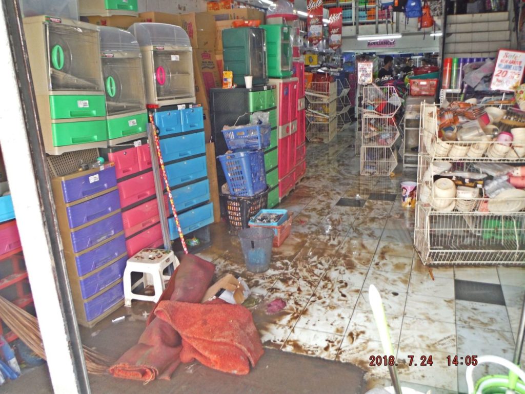
Zc493. This is one of three images on Rizal Ave. near the Olongapo Market, as the lead picture showed it flooded here about hip high and the shops are cleaning up.
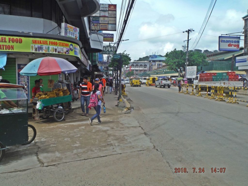
Zc494. This is one of three images on Rizal Ave. near the Olongapo Market, as the lead picture showed it flooded here about hip high and the shops are cleaning up.
Zc495. Back in Barretto I wanted to drink a beer and I discovered that our VFW 11447 also got flooded and it was closed to clean up. That is our VFW Post across the street.
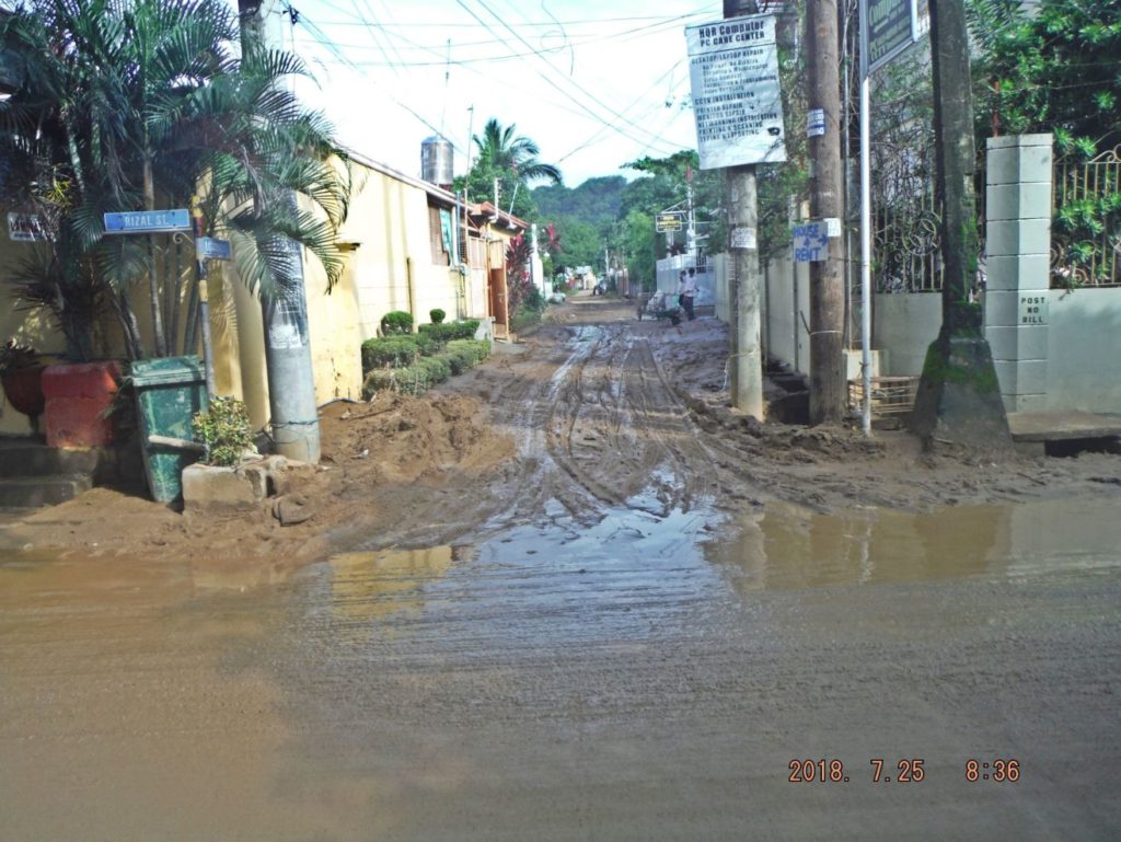
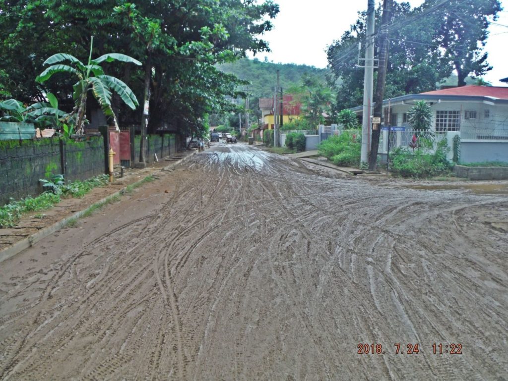
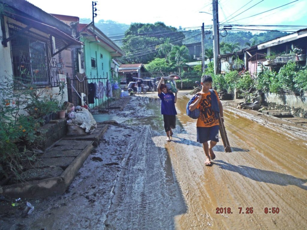
Zc496. On the next day, the 25th July, I checked the roads of Bo. Barretto, this is one of nine images (refers to the album), one of the side streets of Rizal Street got muddy.
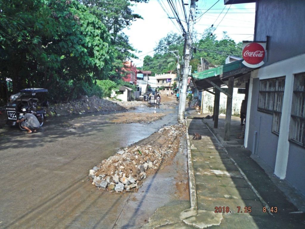
Zc497. On the next day, the 25th July, I checked the roads of Bo. Barretto, this is one of nine images, (refers to the album), Rizal St. crosses the Maquinaya River about 50 meters ahead.
Zc498. On the next day, the 25th July, I checked the roads of Bo. Barretto, this is one of nine images, (refers to the album), we are looking at Jolo Street, the one I live on, when it intersects with the Rizal Street.
Nice pics karl. I visited during these rains and stayed in my house at santa monica . The flooding in santa monica was not as bad as 2013. The water reached its highest level on the sunday afternoon but did not enter the house, about 10inches more and it would have been in.
It appears that the dredging of the river has helped to slow the floodind in sta monica and I also believe they have done some remedial work to the drainage from sierra hills which used to go directly into santa monica.love ya work
Cheers Scotty