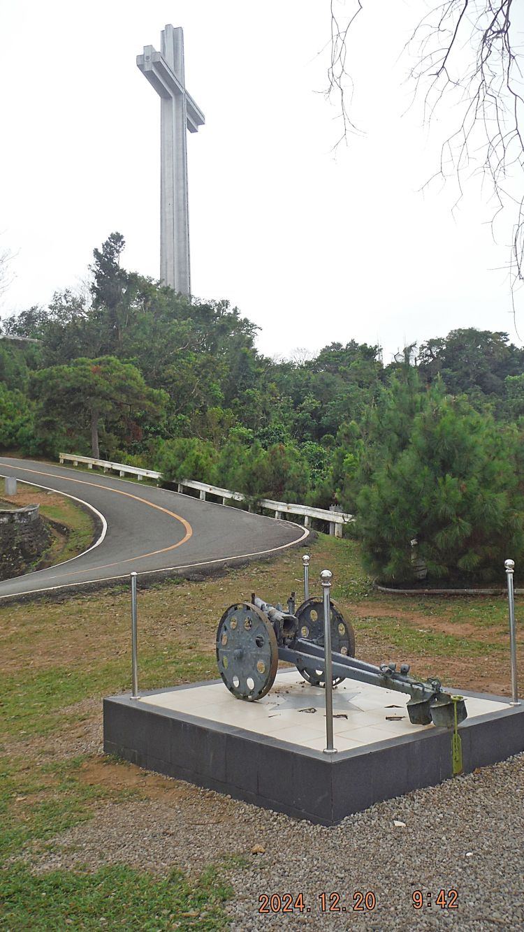
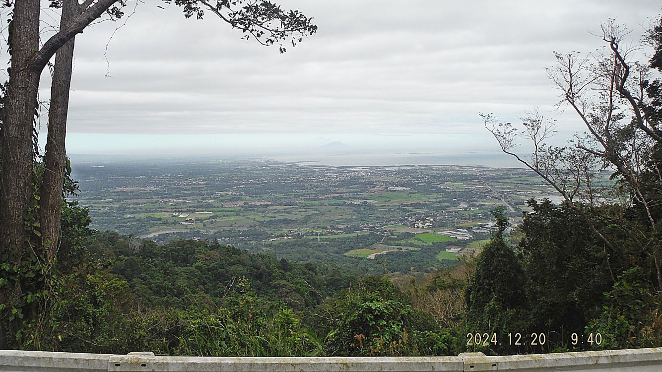
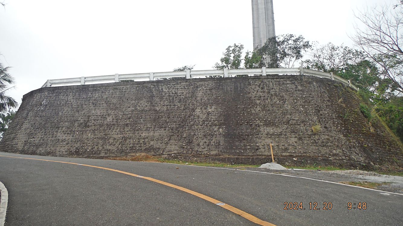
#C17 picture shows our walk up to the cross area continues, we see of a viewing spot towards the west coast of Bataan with a weapon. We have clear view of the cross.
—————————————————————-
Visited the Mt. Samat Shrine with friends on the 20th Dec. 2024. This album is about our walk from the gate to the cross, it is no longer allowed to drive up to the cross, the last and steep section to the cross area. The shrine Service has added many weapons displays along the way, which is new. The museum and the Colonnade were closed for renovation. I speculate that the renovation is for the upcoming “Bataan Day”, which is now called: “Dambana ng Kagitingan”. The elevator in the cross is still not working and renovation is planned in the not to distant future, we were told. FYI, the shrine is closed on Mondays and one has to pay a small entrance fee.
————————————————————-
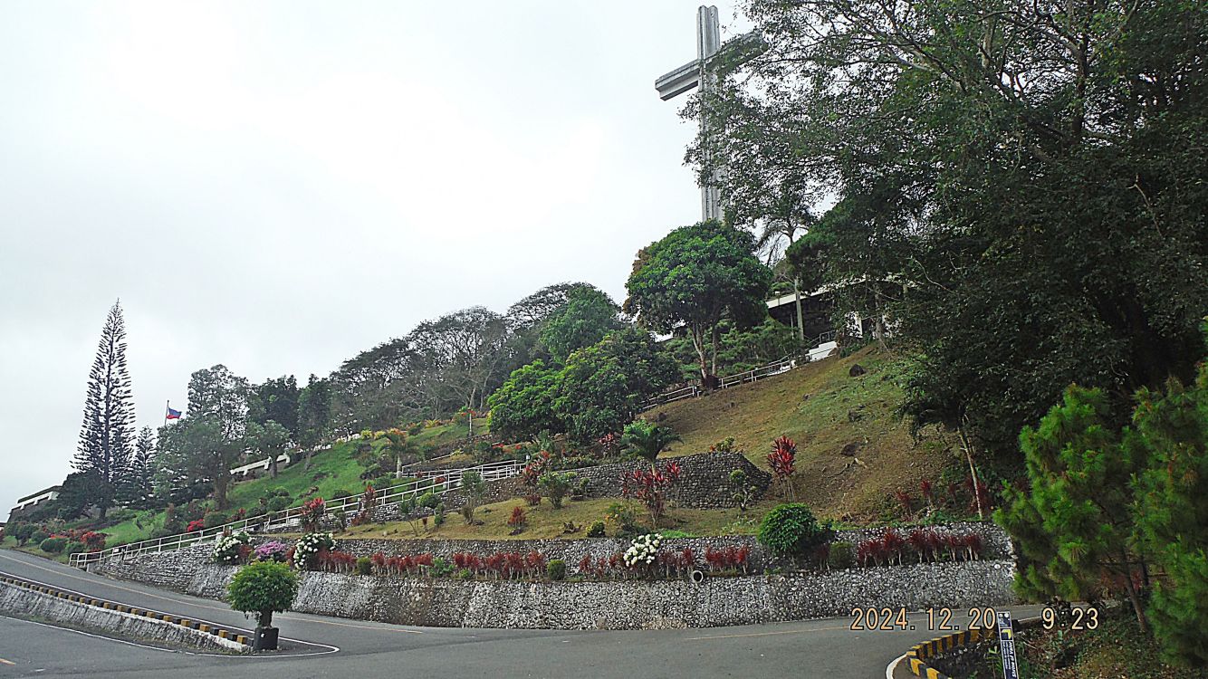
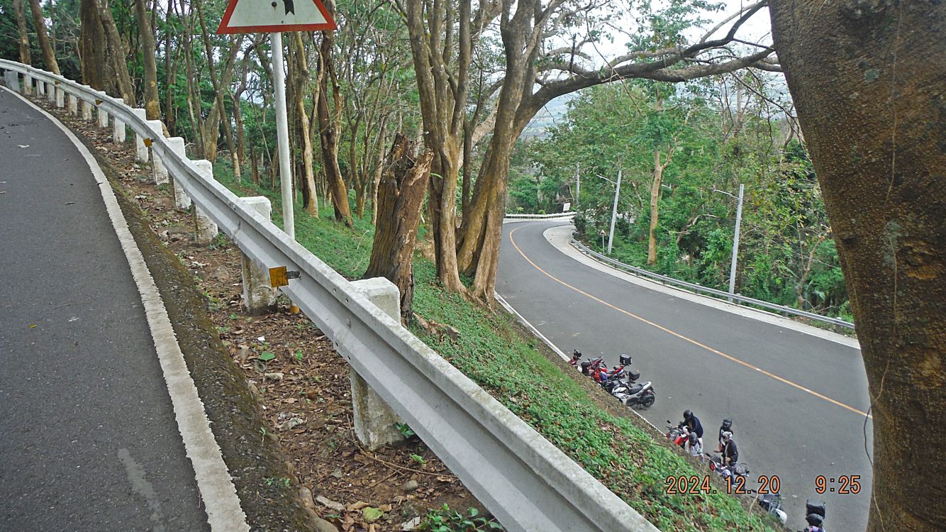
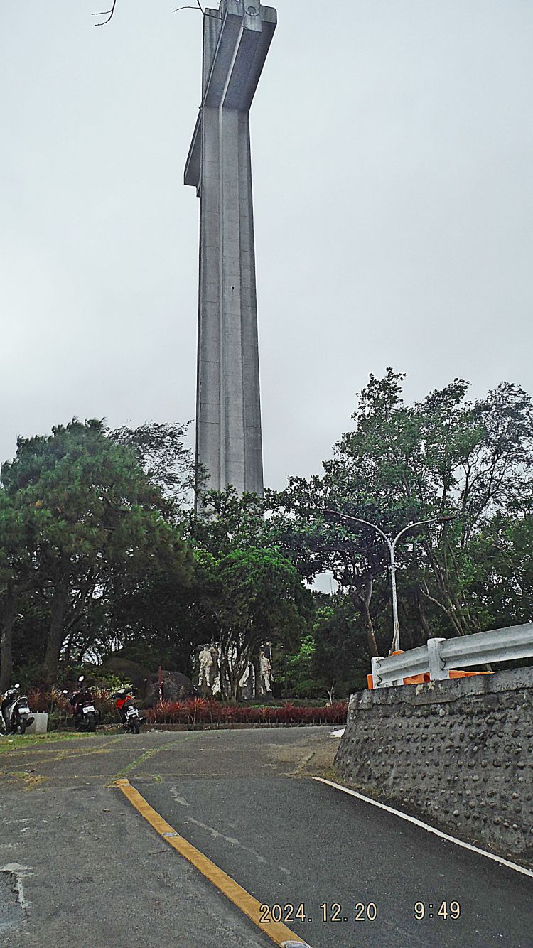
#C02 & #C04 pictures are from the Mt. Samat Shrine Entrance Gate area. The picture in the picture #C02 is posted in the near reception building where all visitors get a brief. Picture #C03 shows the famous cross from the gate area. Picture #C04 shows the Mt. Samat Rd. approaching the gate and we see some motor bikes parked outside the gate. All vehicles park now inside or outside of the gate and driving to the cross area is no longer allowed.
#C02.
#C03.
#C04.
——————————————————————
#C05 to #C10 pictures are of an Mt. Samat Shrine administration building at the beginning of the Cross Access Rd. The weapons placed there now are a new addition. My friend John Duresky talks to a shrine staff member about a book John helped writing and I had delivered to the shrine about 2 years before. That staff member remembered me from Corregidor.
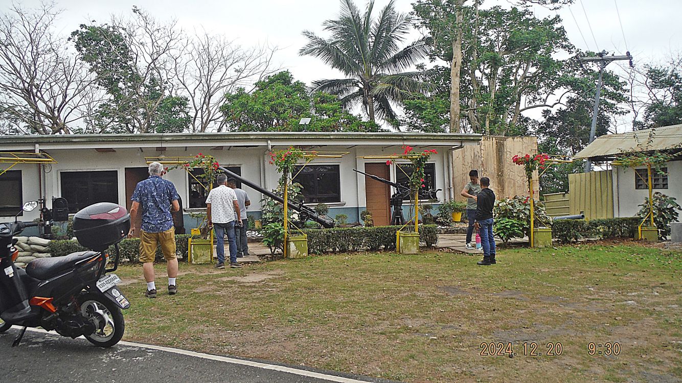
#C05.
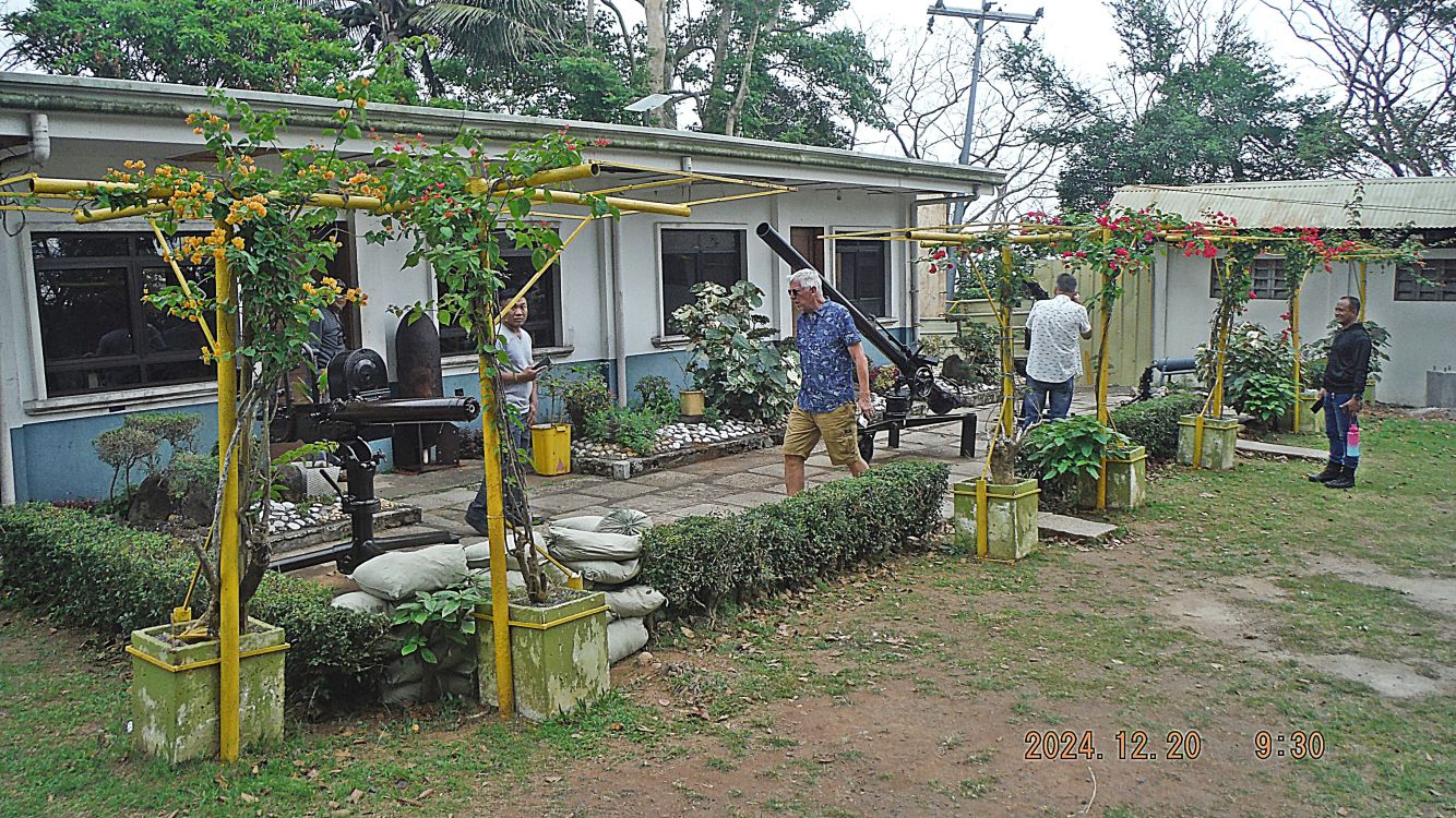
#C06.
#C07.
#C08.
There is no #C09 picture, my mistake!
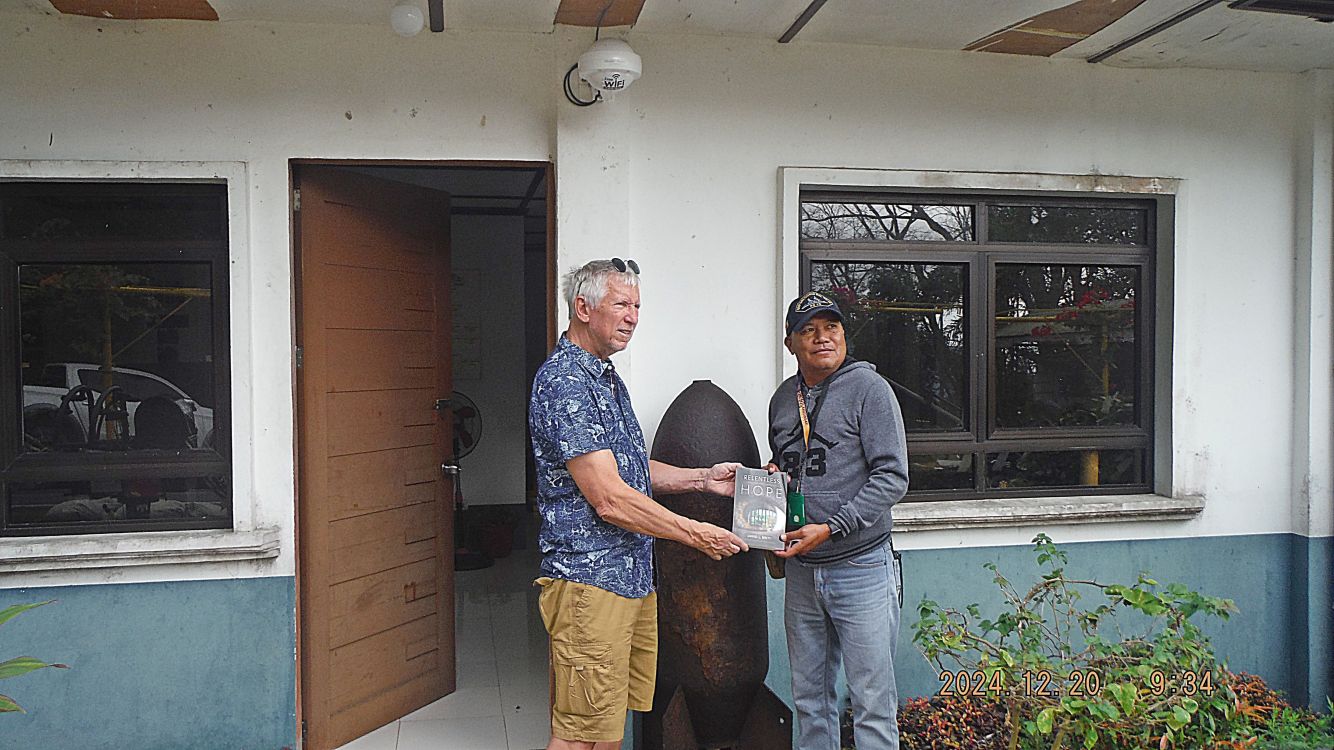
#C10.
———————————————————————————–
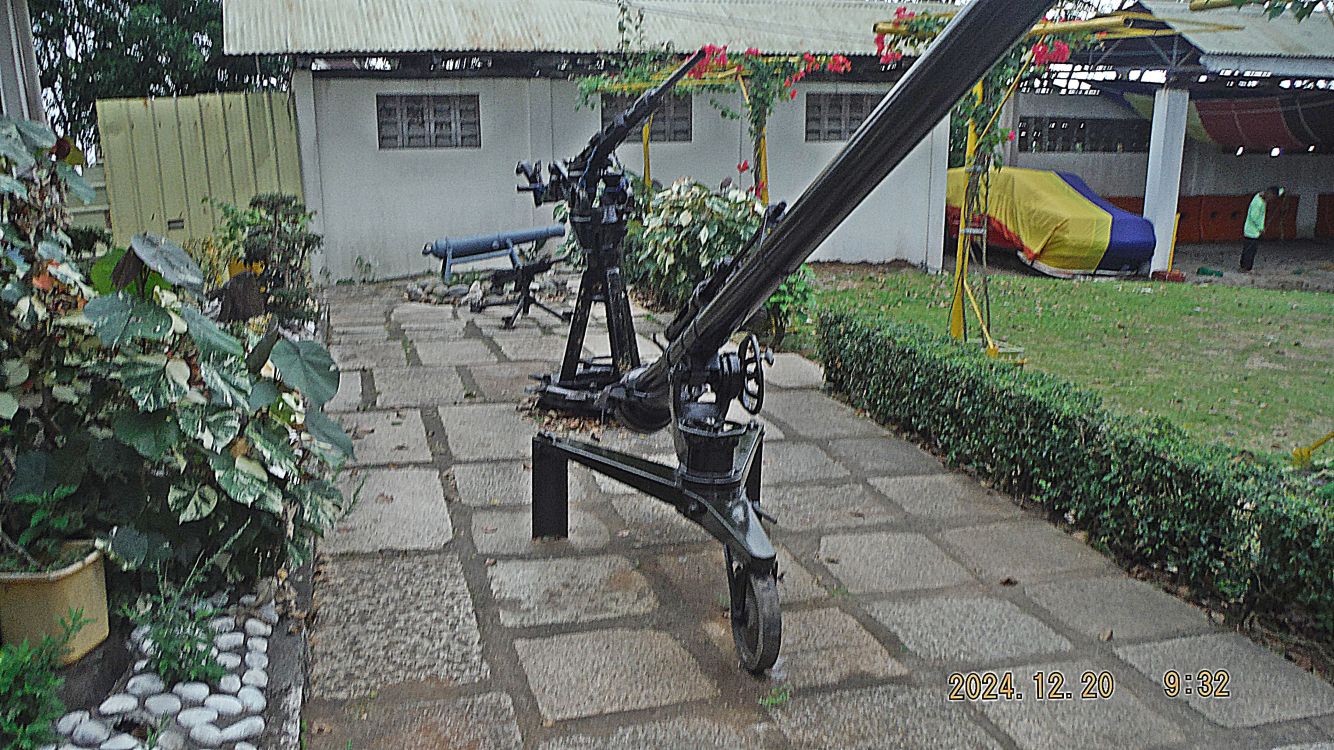
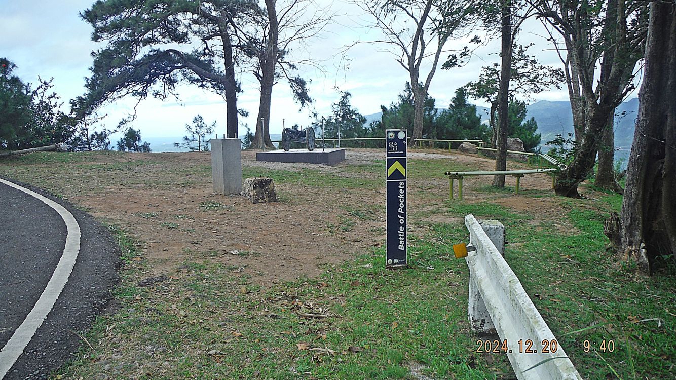
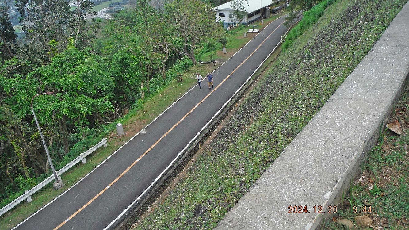
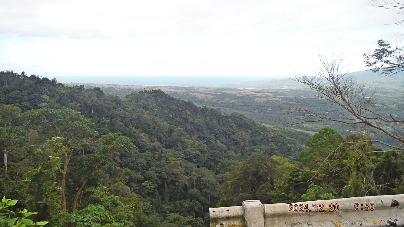
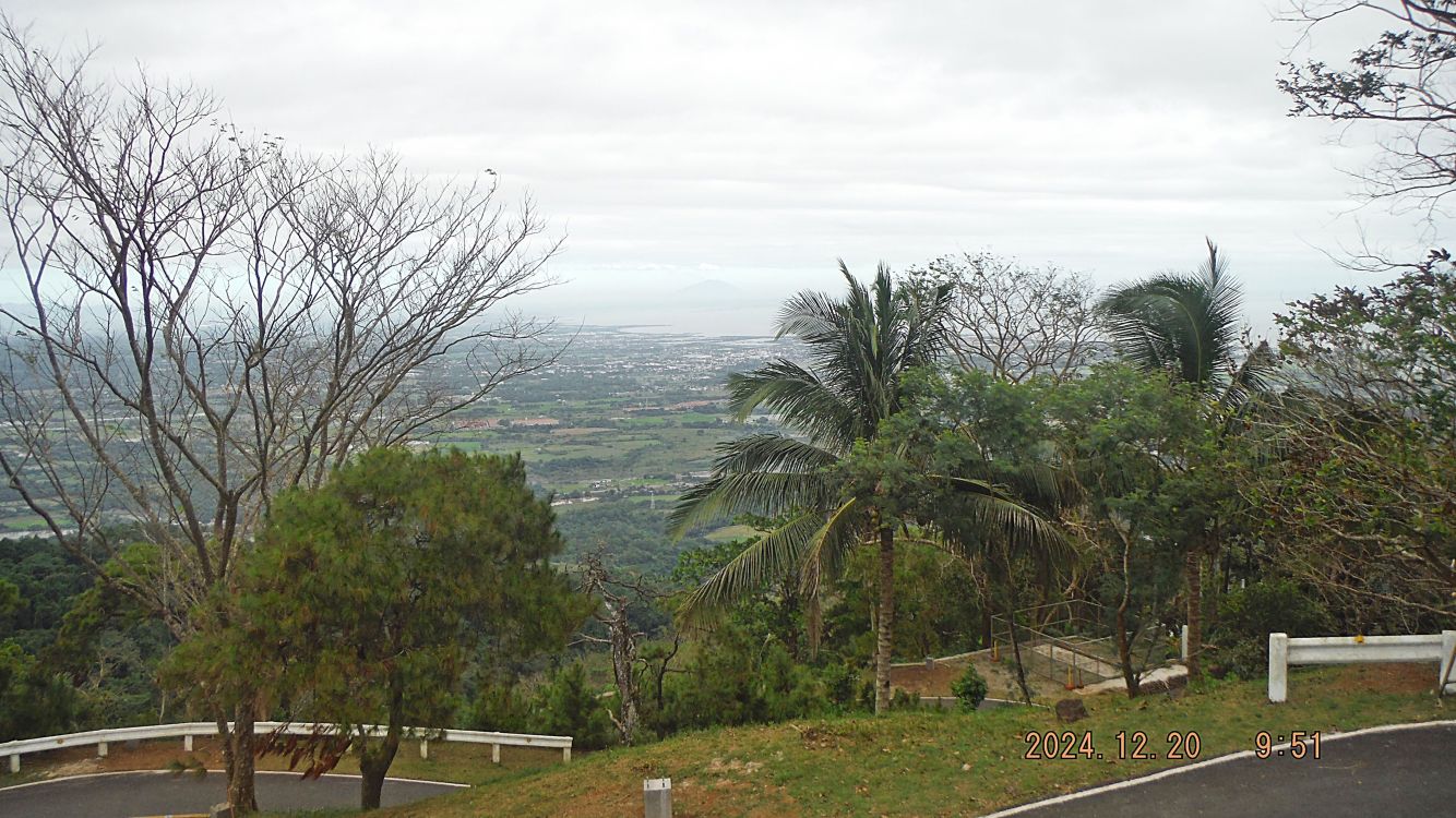
#C11 to #C14 pictures show our walk continues, we see a weapon, a bench the rest and view and we have a view towards the Municipality Pilar which Mt Samat belongs to. Also in that view we see Mt Arayat in Pampanga, just east of the Clark Field. Sorry, I don’t know the names of all these weapons.
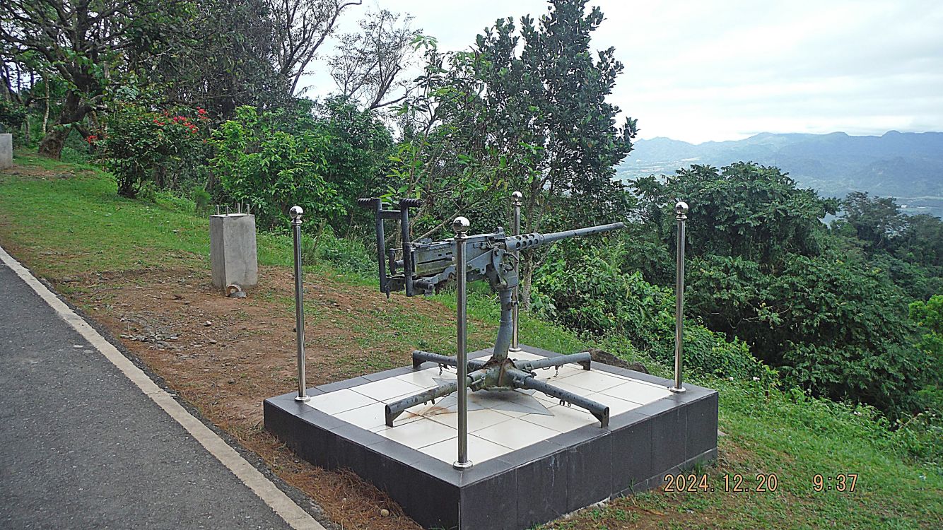
#C11.
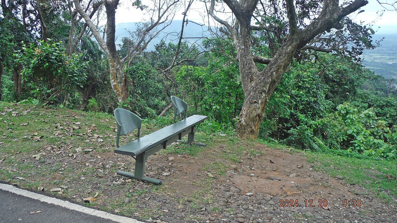
#C12.
There is no #C13 picture, my mistake!
#C14.
——————————————————————–
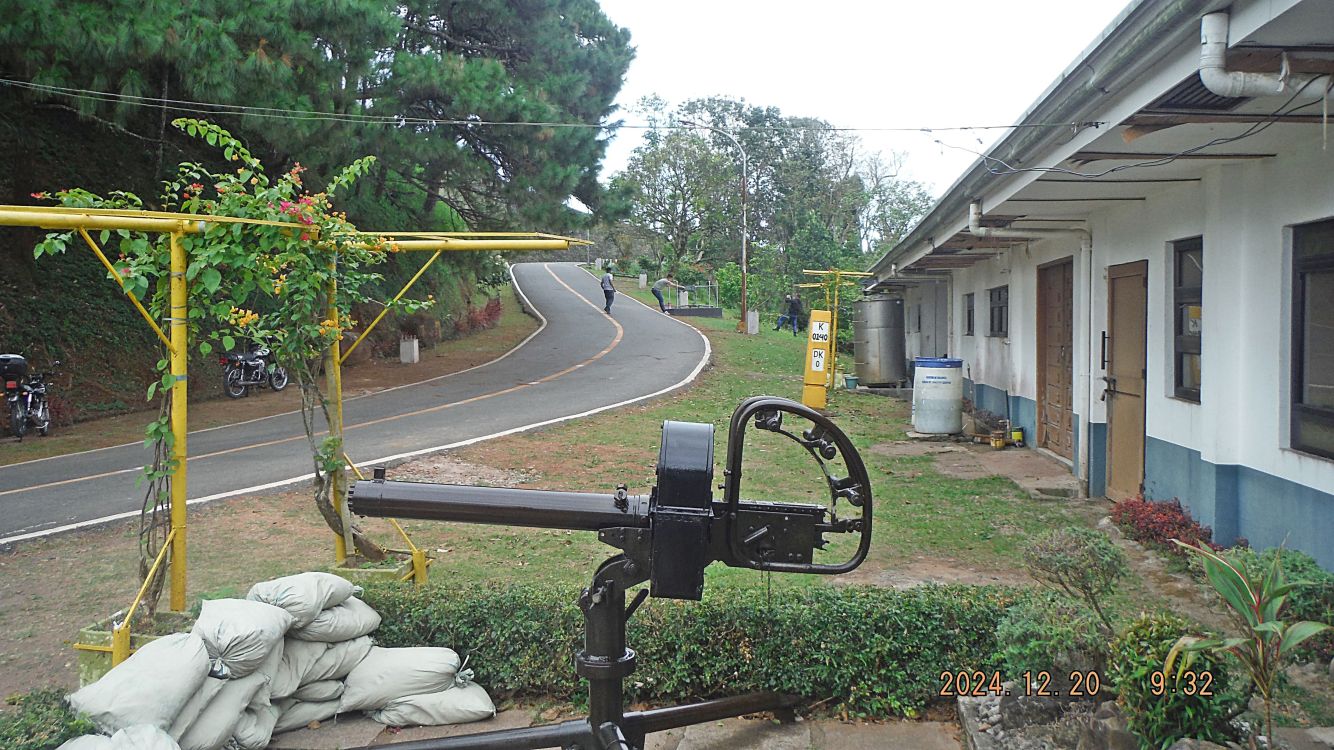
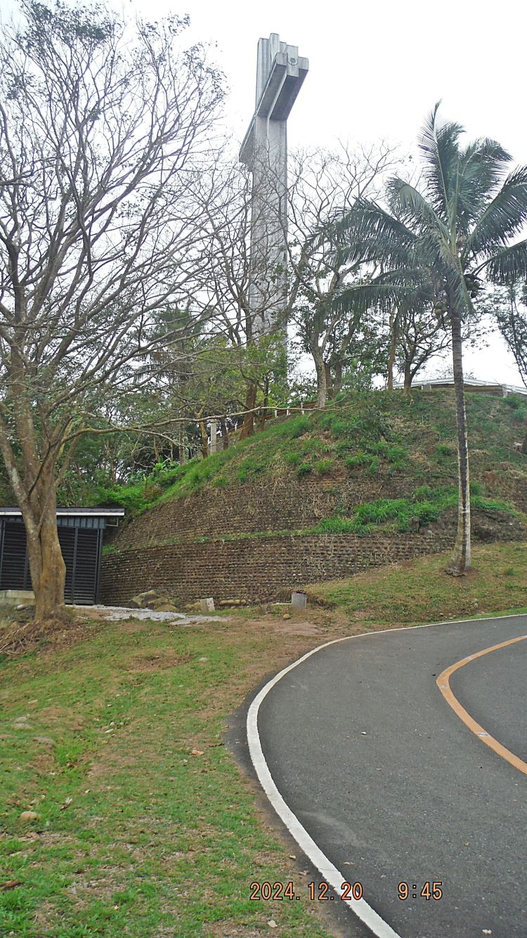
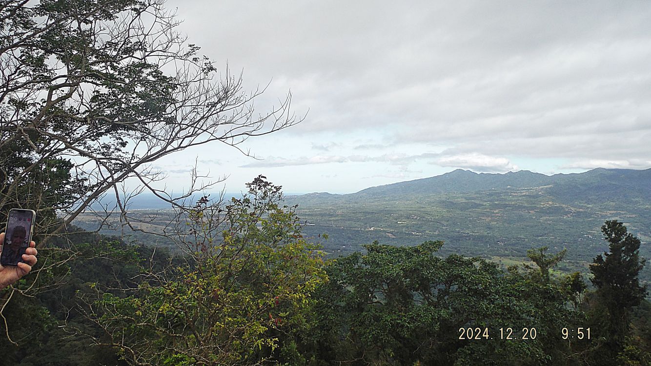
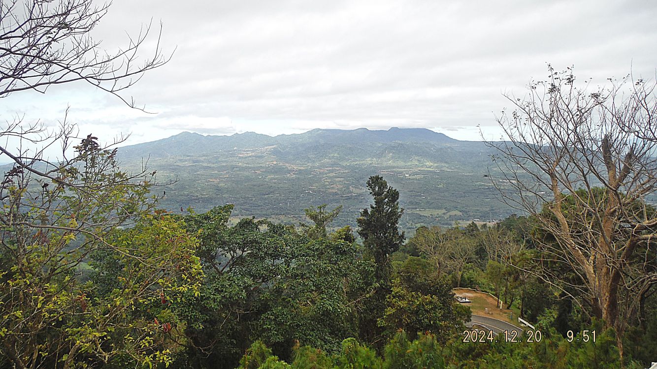
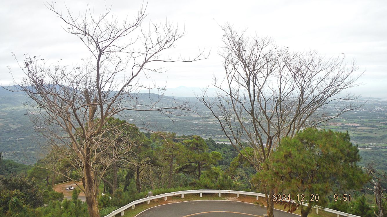
#C15 to #C17 pictures show our walk up to the cross area continues, we see of a viewing spot towards the west coast of Bataan with a weapon. We have clear view of the Bataan west coast and the cross.
#C15.
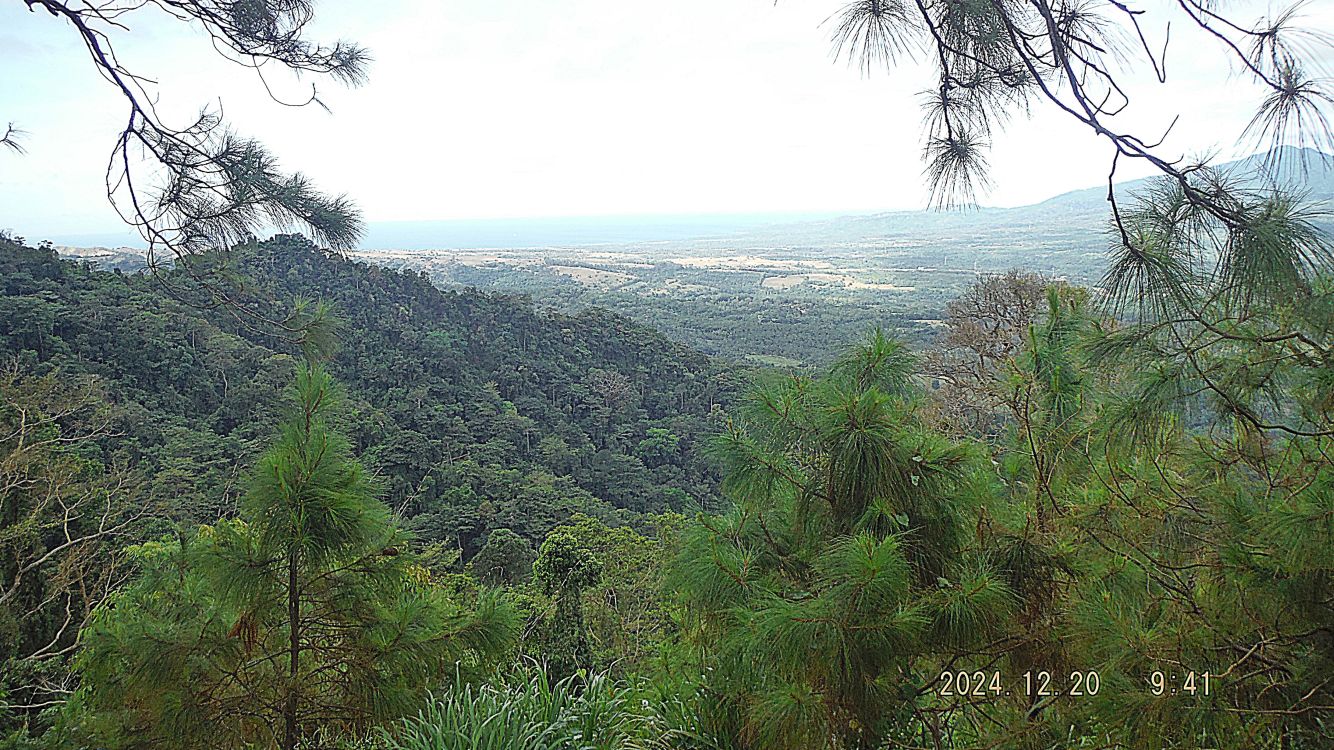
#C16.
#C17.
————————————————————————
#C18 to #C20 pictures show our walk up to the cross area continues, we see another weapon and views to the Pilar area, including Mt. Arayat. My two friends are trying to catch up with me, ha, ha.
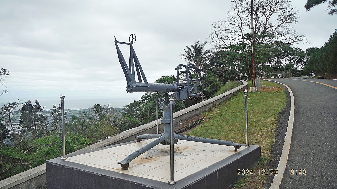
#C18.
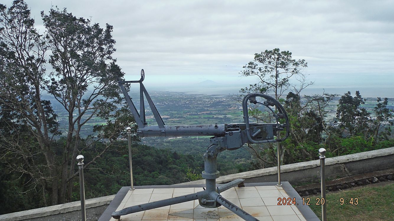
#C19.
#C20.
—————————————————————————–
#C21 to #C25 pictures show our walk up to the cross area continues. We reached the cross area, have 2 nice shots of the cross and passed a Mt. Samat Shrine utility building.
#C21.
There is no #C22 picture, my mistake!
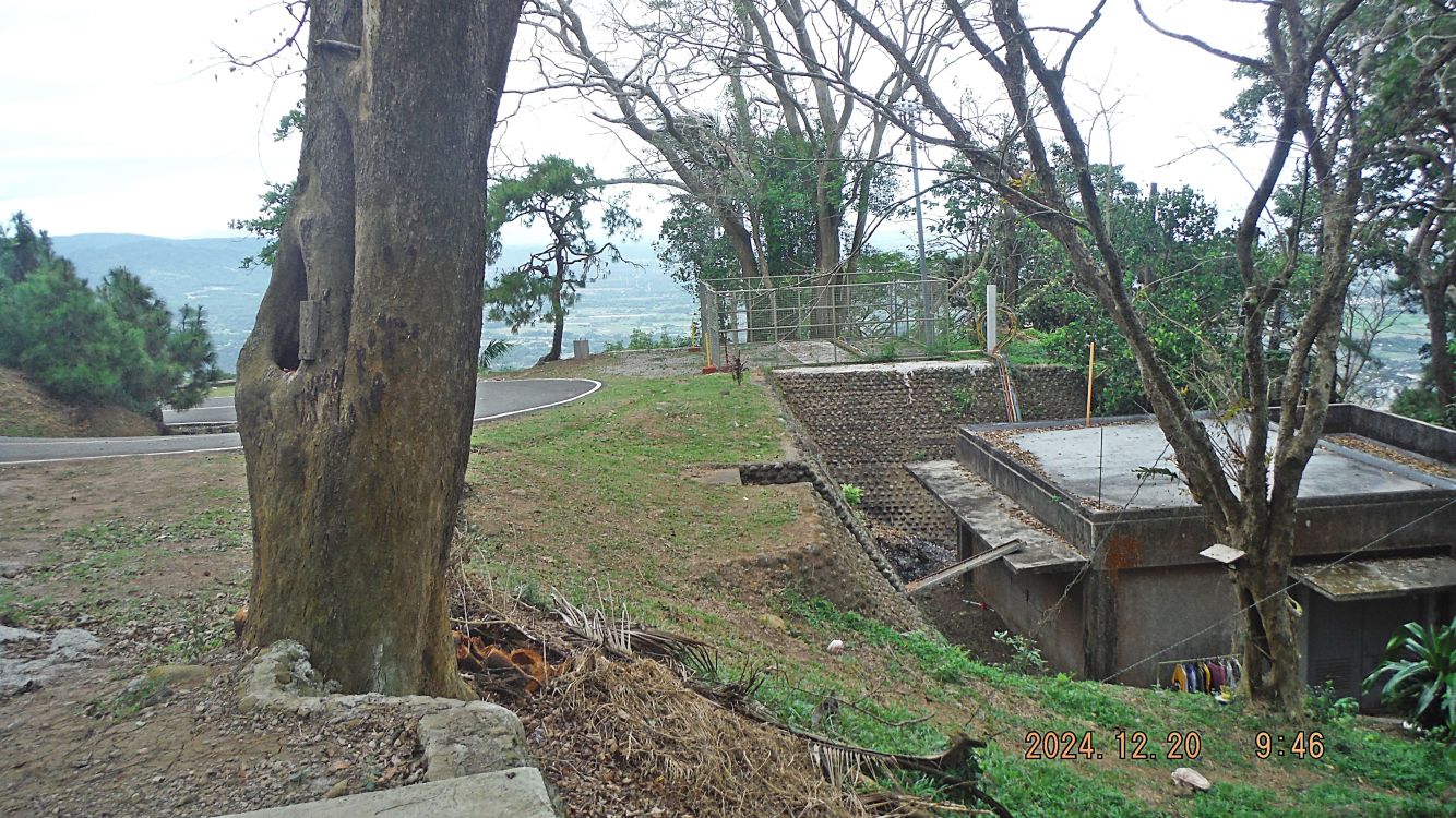
#C23.
#C24.
#C25.
—————————————————————————
#C26 to #C30 pictures are panorama shots from the top of Mt Samat at the Mt Samat Shrine cross area. They were shot from left to right, from the Bataan west coast, the volcano Mt. Natib and the Bataan east coast with the Pilar Municipality, Manila Bay and Mt. Arayat in the distance. Most people don’t know that Mt. Natib has a huge caldera!
#C26.
#C27
#C28.
#C29.
#C30.
———————————————————————————
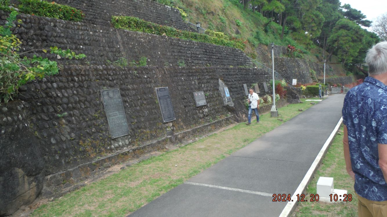
#C31 to #C33 pictures are pictures of the Mt. Samar Shrine Colonnade, the area between the Colonnade and the incline hill side up to the cross. At the hill side many plaques commemorating different WWII units of forces of the Allied Forces.
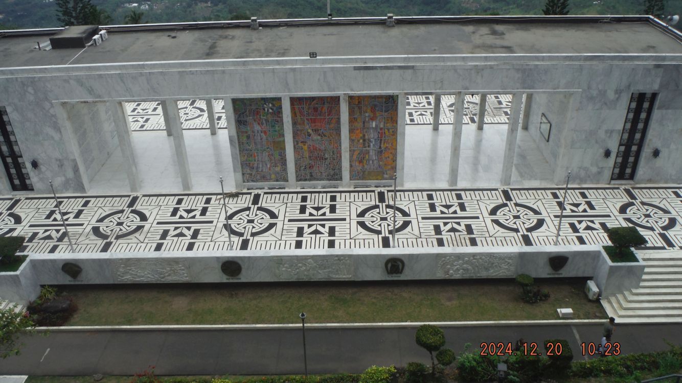
#C31
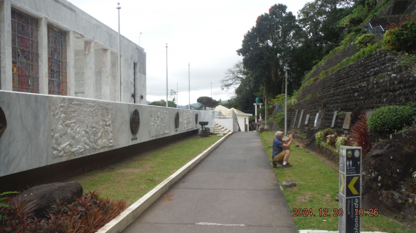
#C32.
#C33.