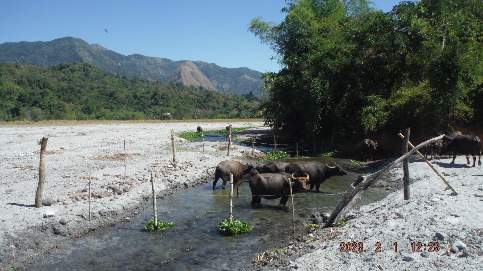
Zg120. This is picture #120 but is numbered in this album as Zg120. Pictures # 099 to 122 are images of my final stretch of hike to Lumibao. There was a drastic change in the grounds, in that new Lahar filled in a section of the Mapanuepe Lake on my track and instead of having to walk around the lake shore, there was now a straight stretch/shot of Lahar ground to Lumibao. Only one time, about 100 meter long, did I have to walk thru wet area to reach the north shore of Lake Mapanuepe, the boat landing area to reach this village from Aglao and the San Marcelino to the Dizon Mine road. Image #122 is the screen shot of my GPS device and it reads that it took me 4 hours and 23 minutes to get here and it was 14.18 km distance. Note the landmark, the 700 meter monolith Hill; it was my landmark for many of my hikes in this area.