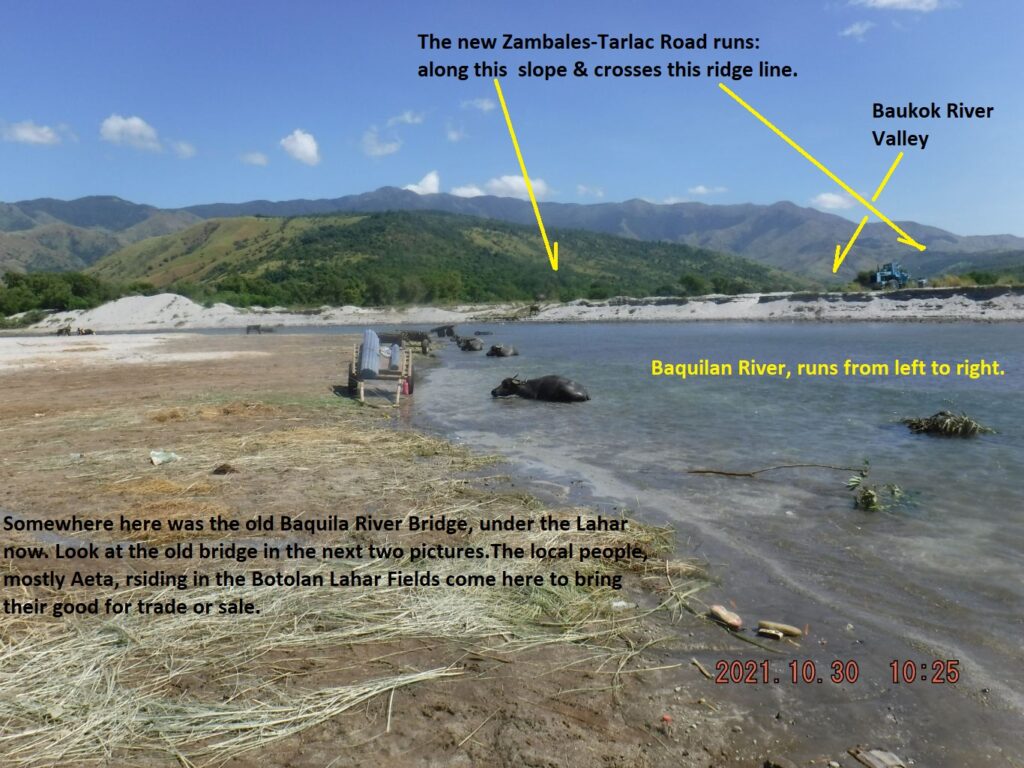
Zf388. One of 23 images of the Baquilan River Mouth area (including 2 pics from 2002), the first few pictures show the Bucao River embankment at the foot of the Baquilan Resettlement Village Ridge, under/down from the village. This is also the old Zambales to Tarlac Road, this is the area where the Bucao River Lahar blocked the Baquilan River and buried the old road and bridge. This is the place where the people from the Botolan Lahar Fields, the NW area from Mt Pinatubo, bring their material for sale or trading. The last pictures show us going upriver where vehicles cross to get to the new Botolan-Capas Road.