Tag: Corregidor map
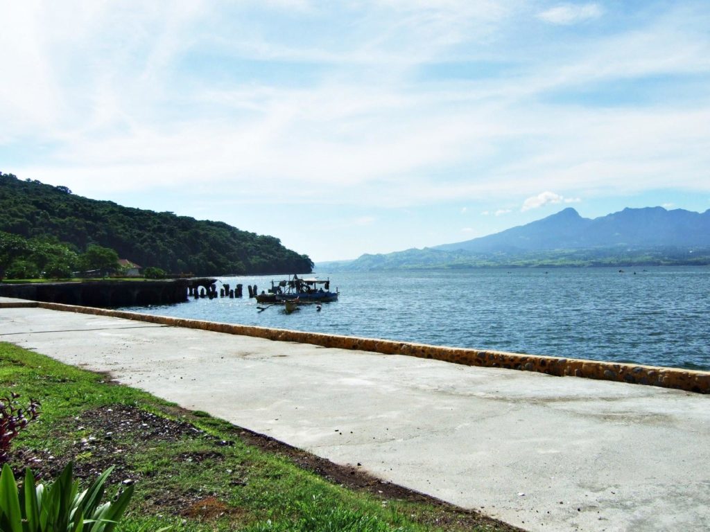
Salvage of wreck on Corregidor 2008
Zo636. A WWII wreck, sunk during the siege of Corregidor, is salvaged on Corregidor Island, Manila Bay in 2008. In this picture we Morrison Hill at left and on Corregidor, then the hills around Mariveles Bay where the wrecks of the USS Canopos AS-9 and the George Dewey Drydock rest. ———————————————– Not all wrecks have […]
Read More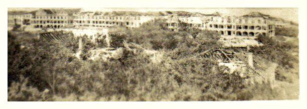
Corregidor late 1945
Zo599. A view of the “Mile Long Barracks” from the Lighthouse and across the Officer Quarters. The Officer Quarter had to give way to the present Pacific War Memorial which is located here now. GIs then and GIs now, like me, like to go up the lighthouse and enjoy the view. —————————– This is an […]
Read More