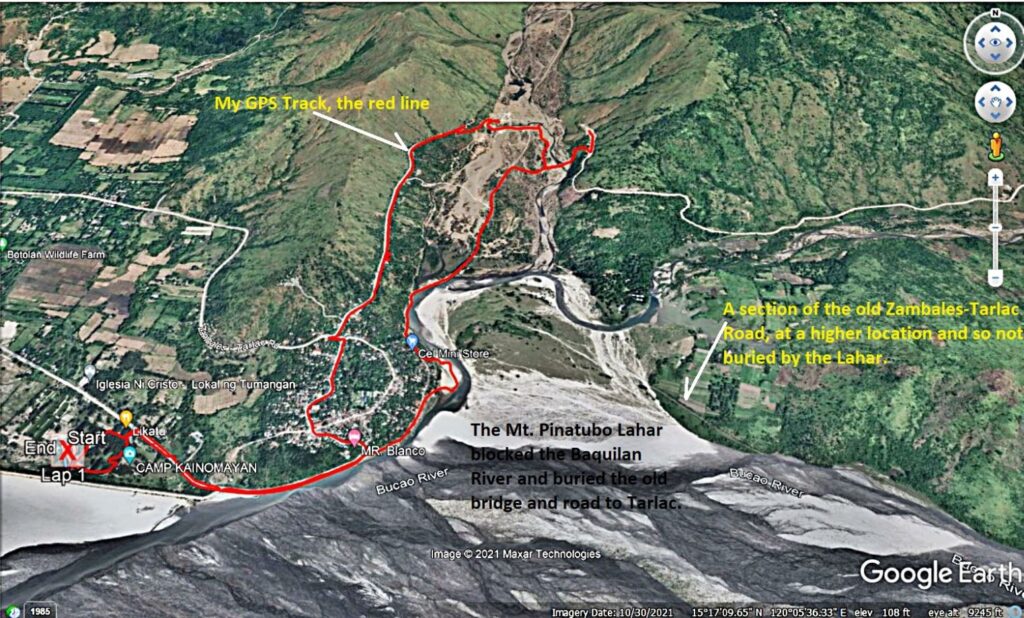
Zf385. One of 8 map or data images of the area of the Baquilan River Mouth. It shows roads that are being used now and roads to be used when the Zambales-Tarlac Road is finished. The maps also show my GPS track. The pictures show the Baquilan Resettlement village, the irrigation intakes and the irrigation ditch, the embankment reinforcement at the foot of the Baquilan Village location. The maps show the water flows of the Bucao and Baquilan Rivers. We also see the location of the Bucao River Dike and Camp Kainomayan. This is my GPS track of the 30th Oct. 2021!