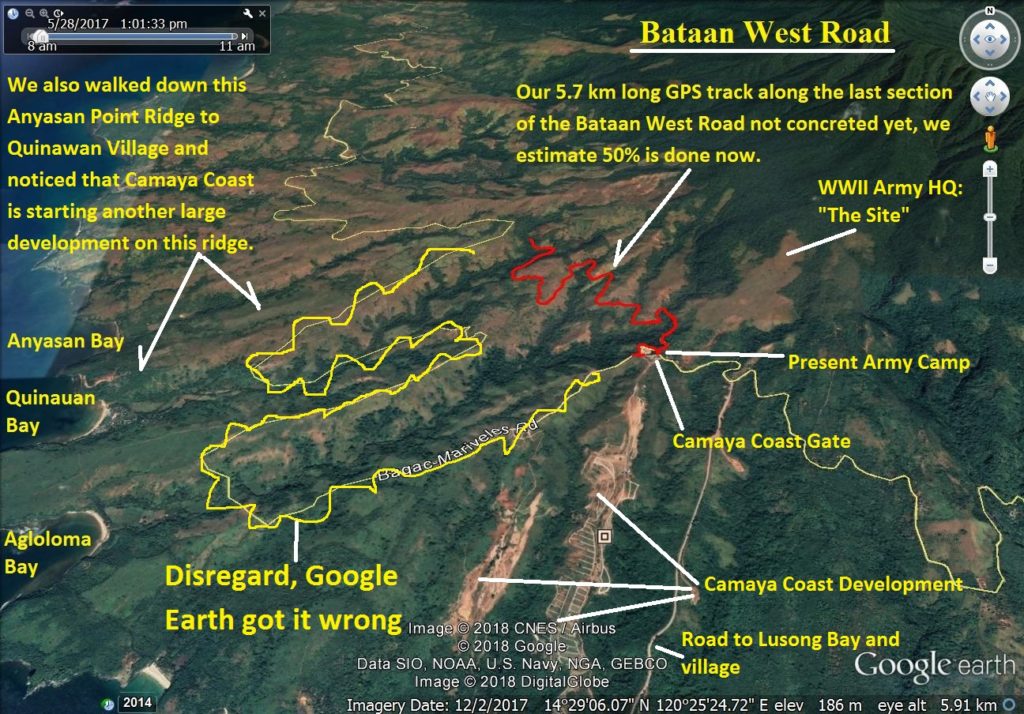
Za552. A Google Earth image with the 5.7 km GPS track (one way) on the Bataan West Road.
007. A Google Earth image with the 5.7 km GPS track (one way) of our walk on the 11th Jan. 2018 to check on the progress of finishing the Bataan West Road. I marked in many other points of interest including the HQ site of Bataan Rear Command in 1942.