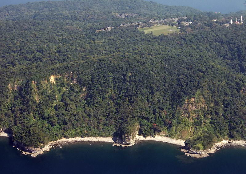
Corregidor Island, aerial, AJM 10. West End of Corregidor Island and some of the Corregidor Topside, ex Fort Mills structures.
————————–
My friend John Moffitt (fots2) posted these aerial pictures of Corregidor in the Corregidor Forum in 2007. But his photo sharing account is no longer available and the link to these pictures disappeared! There are about 68 images and I will repost these pictures in sections, it is work!
This is the URL to that page and his description text follows, click here:
https://corregidor.proboards.com/thread/44/aerial-photos-corregidor-island
John’s text:
I thought you folks might be interested in seeing some new aerial photos of Corregidor Island. I was fortunate to be able to wait for a clear day with only a little haze in the distance. This time of the year the island is still quite green. Many places, even roads, are really difficult to see from the air but I am sure lots will be familiar too.
The angle of the sun with respect to the camera lens makes a huge difference in the photo quality I got. Unfortunately I could not control that much in the almost one hour we flew near the island. I just took lots of photos from different angles and hoped for the best. I’ll add more descriptive labels soon. Finally, I added a few photos of Caballo Island and Mariveles.
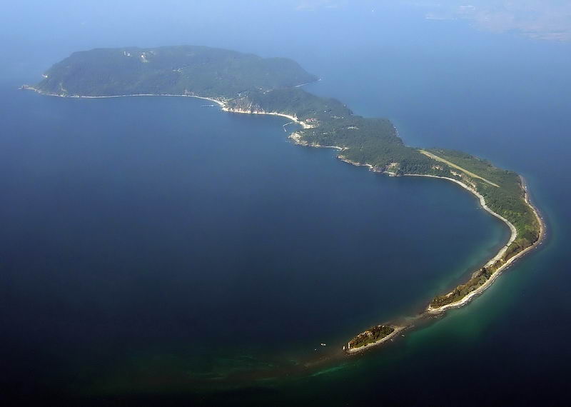
Corregidor Island, aerial, AJM 01. The whole Corregidor Island, the ex-Fort Mills, looking from the East
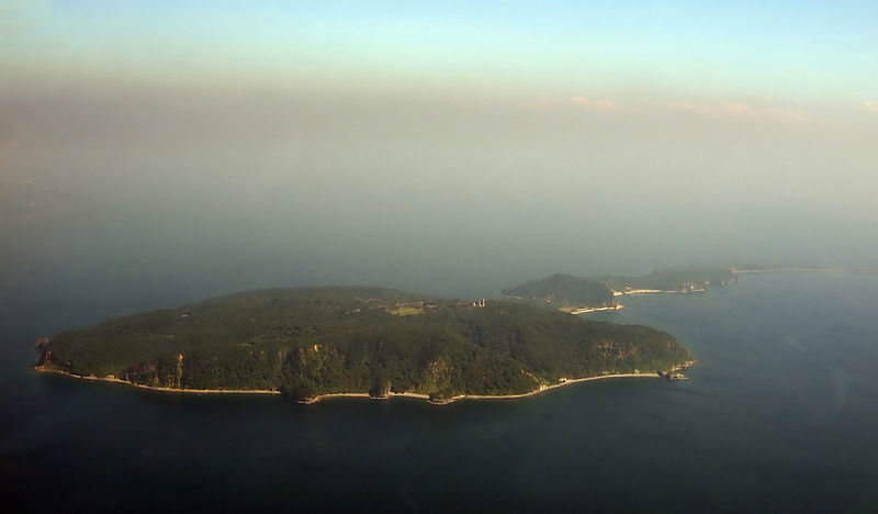
Corregidor Island, aerial, AJM 02. The whole Corregidor Island, the ex-Fort Mills, under smog, looking from the wast
——————————————
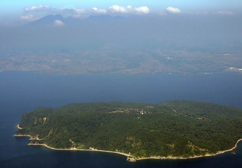
Corregidor Island, aerial, AJM 03. The West End of Corregidor and Bataan is in view.
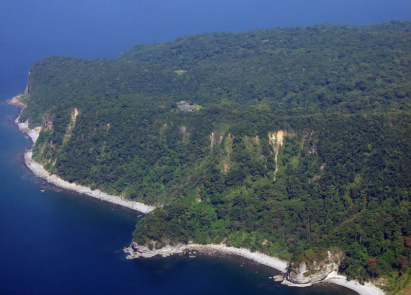
Corregidor Island, aerial, AJM 04. Wheeler Point of Corregidor Island, the point in the middle.
————————————
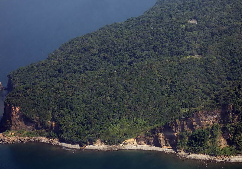
Corregidor Island, aerial, AJM 05. Looking from afar, coming in; Battery Smith, Grubbs Ravine, Cheney Ravine.
——————————————–
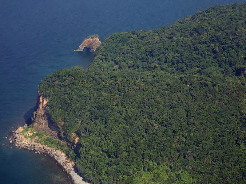
Corregidor Island, aerial, AJM 06. Looking from afar, coming in; Rock Point, Grubbs Ravine, Battery Hanna..
———————————–
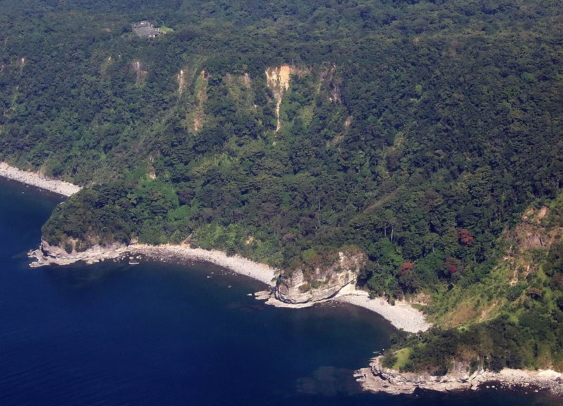
Corregidor Island, aerial, AJM 07. Corregidor West End, 3 points, from left to right: Wheeler Point, No-Name Point, Searchlight Point.
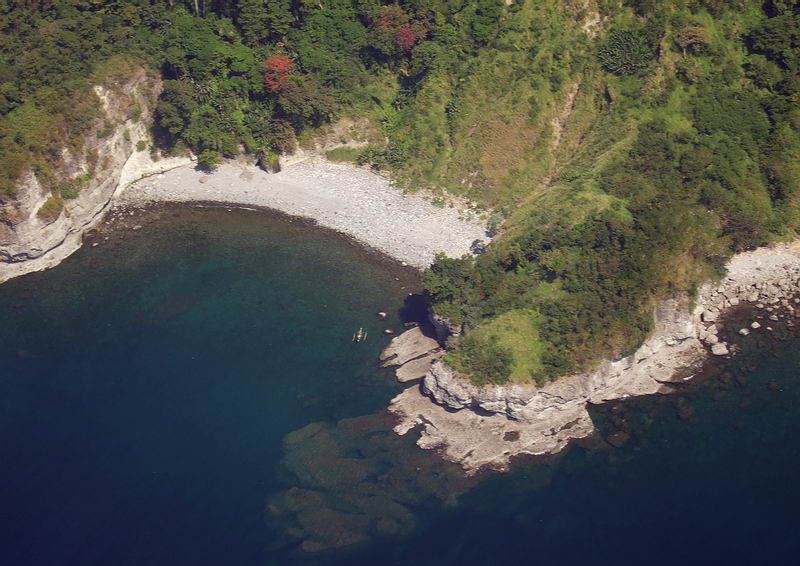
Corregidor Island, aerial, AJM 08. Corregidor West End, Searchlight Point.
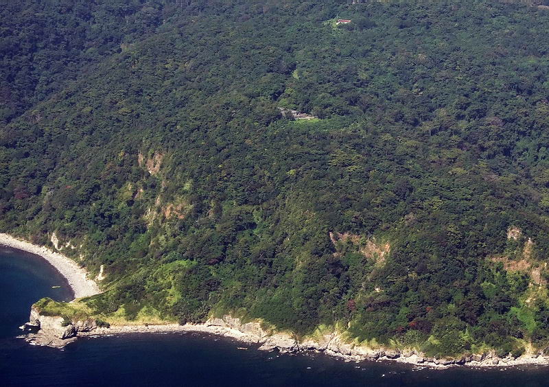
Corregidor Island, aerial, AJM 09. Corregidor Island Geary Point and Battery Crockett above.
——————————–
Corregidor Island, aerial, AJM 10. West End of Corregidor Island and some of the Corregidor Topside, ex Fort Mills structures.
=======================================================
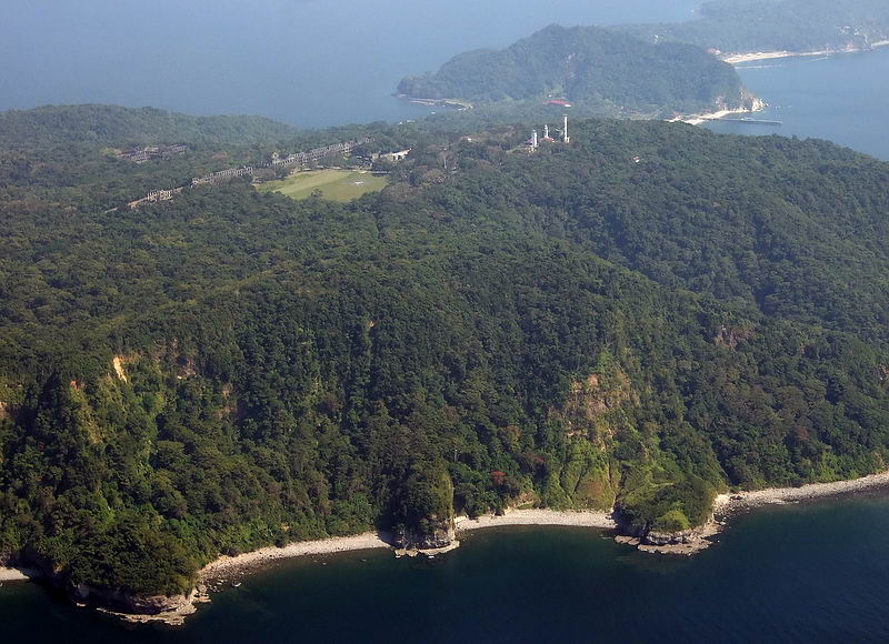
Corregidor Island, aerial, AJM, 11. West End of Corregidor Island and some of the Corregidor Topside, ex Fort Mills structures; and the 3 points.
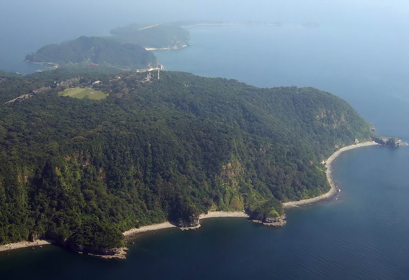
Corregidor Island, aerial, AJM, 12. West End of Corregidor Island and some of the Corregidor Topside, ex Fort Mills structures; and 4 points. Geary Point is in sight!
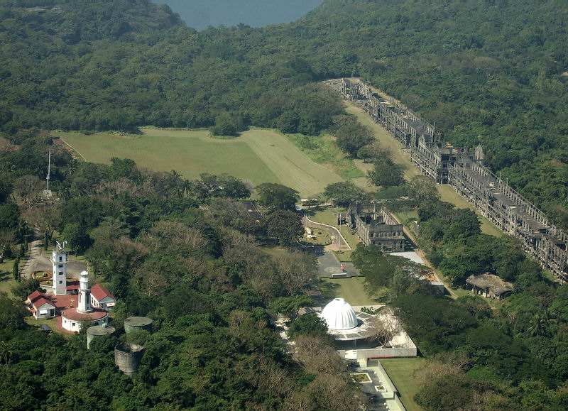
Corregidor Island, aerial, AJM, 13. Corregidor Topside, left to right, Lighthouse area, famous flagstaff, Pacific War Memorial, Parade Ground, the Cine, the “Mile Long Barracks”.
——————————————
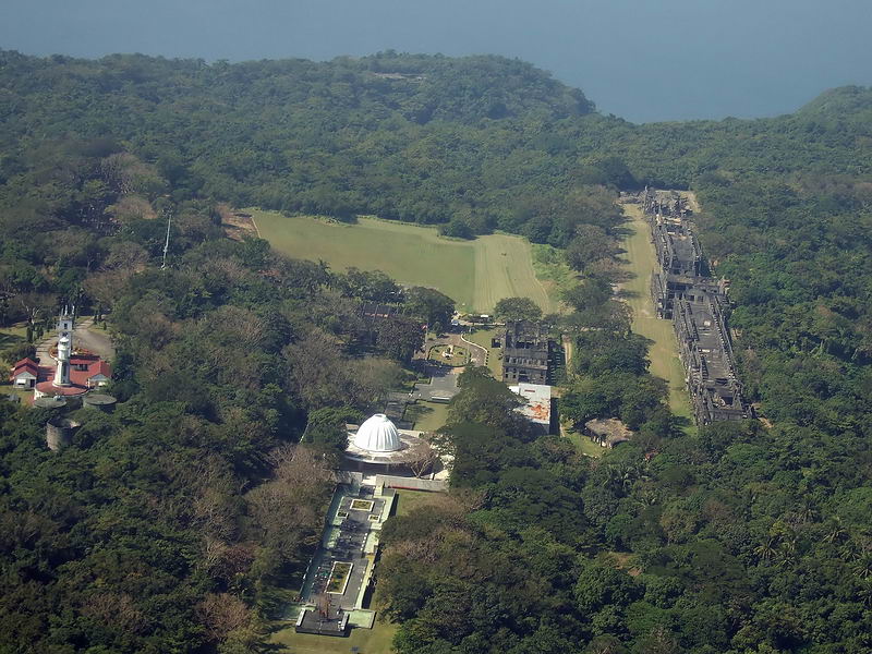
Corregidor Island, aerial, AJM, 14. Corregidor Topside, left to right, Lighthouse area, famous flagstaff, Pacific War Memorial, Parade Ground, the Cine, the “Mile Long Barracks”. Also the Philippine American Friendship Park is in view!
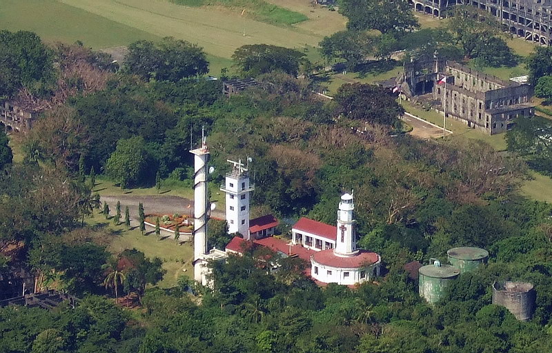
Corregidor Island, aerial, AJM, 15. The Corregidor Lighthouse area.
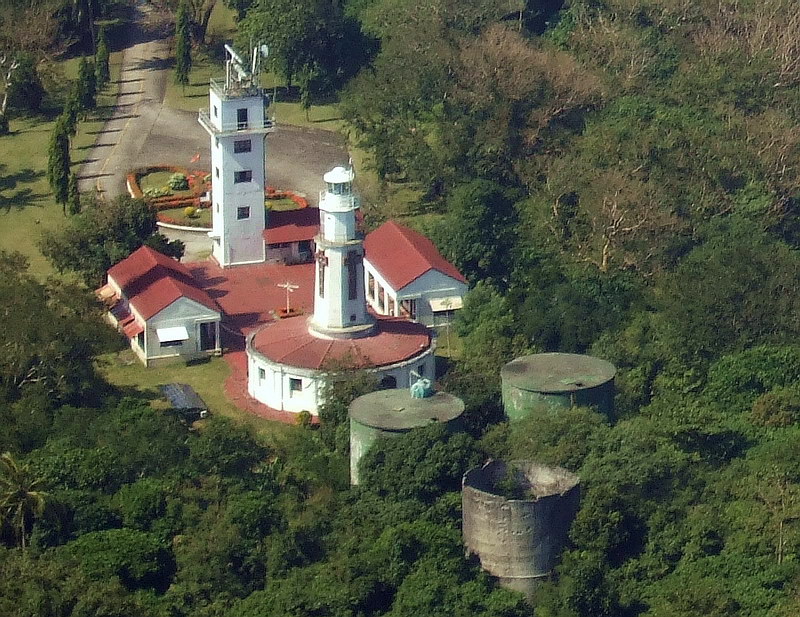
Corregidor Island, aerial, AJM, 16. The Corregidor Lighthouse area close up and three of the 4 Fort Mills water tanks; the 4th is shortened now and under the trees
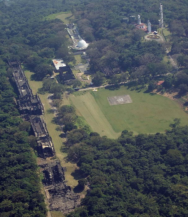
Corregidor Island, aerial, AJM, 17. The Corregidor Topside area from a western angle.
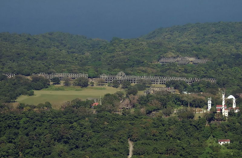
Corregidor Island, aerial, AJM, 18. The Corregidor Topside area from the South and now we see the Fort Mills Hospital.
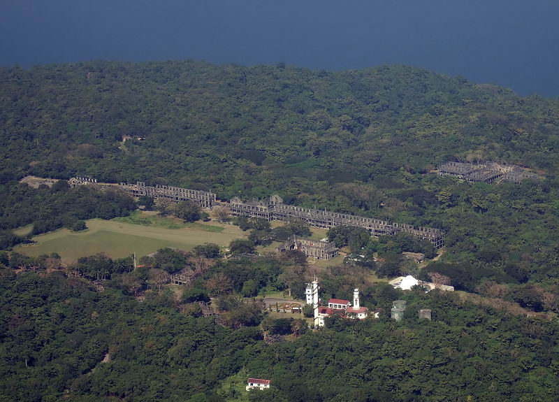
Corregidor Island, aerial, AJM, 19. The Corregidor Topside area
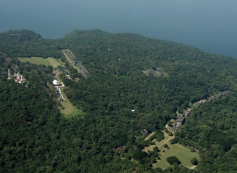
Corregidor Island, aerial, AJM, 20. Left is the Corregidor Topside area and right is the two Middleside Barracks.
==================================
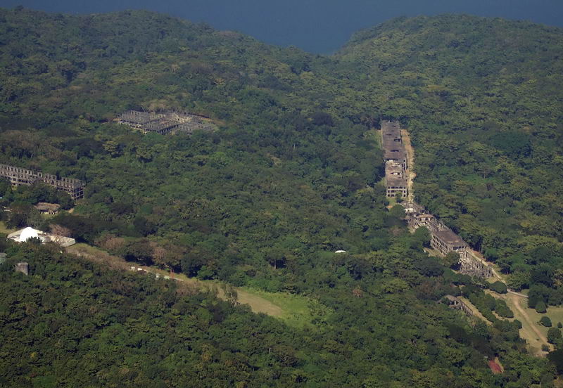
Corregidor Island, aerial, AJM, 21. Fort Mills Hospital and Middleside Barracks at right.
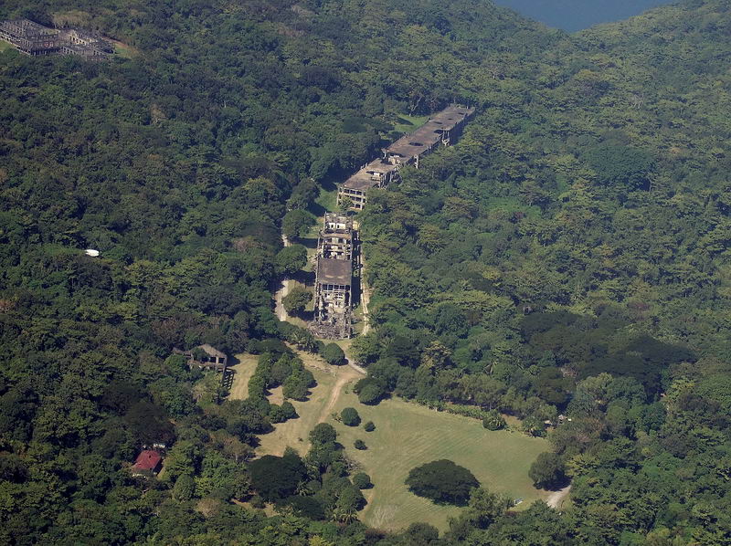
Corregidor Island, aerial, AJM, 22. Fort Mills Middleside Barracks
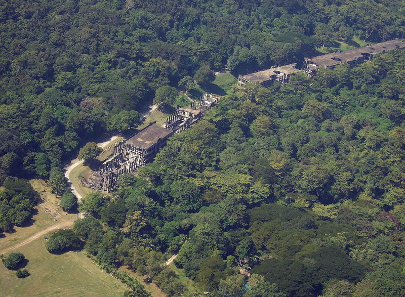
Corregidor Island, aerial, AJM, 23. Fort Mills Middleside Barracks
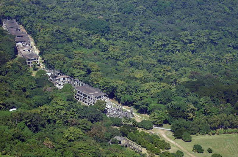
Corregidor Island, aerial, AJM, 24. Fort Mills Middleside Barracks
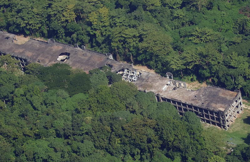
Corregidor Island, aerial, AJM, 25. Fort Mills Middleside Barracks used by the 91st Coast Artillery (PS).
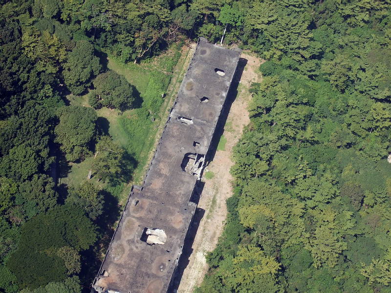
Corregidor Island, aerial, AJM, 26. Fort Mills Middleside Barracks used by the 91st Coast Artillery (PS).
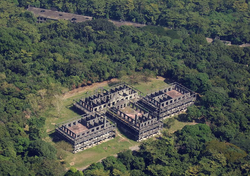
Corregidor Island, aerial, AJM, 27. Fort Mills Hospital.
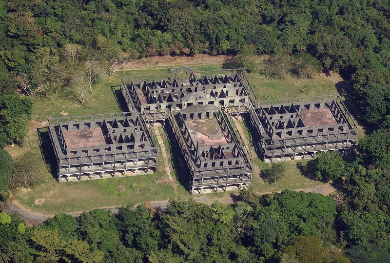
Corregidor Island, aerial, AJM, 28. Fort Mills Hospital.
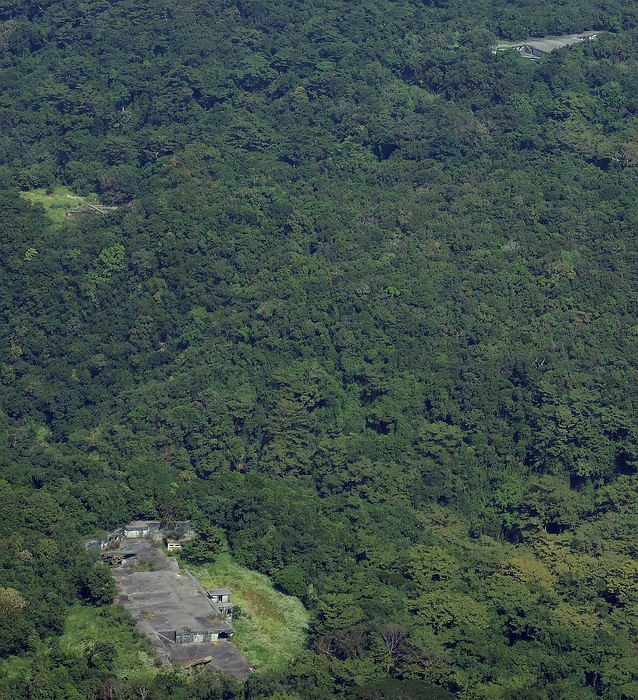
Corregidor Island, aerial, AJM, 29. Clockwise from the bottom, Battery Cheney, Battery Smith, Battery Grubbs.
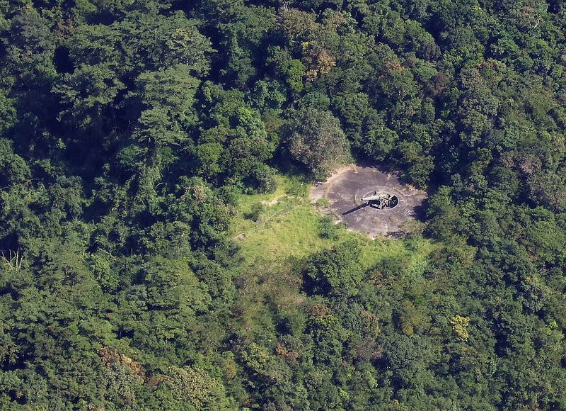
Corregidor Island, aerial, AJM, 30. Battery Smith.
=====================================================
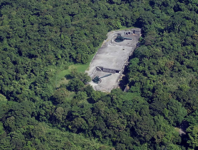
Corregidor Island, aerial, AJM, 31. Battery Grubbs.
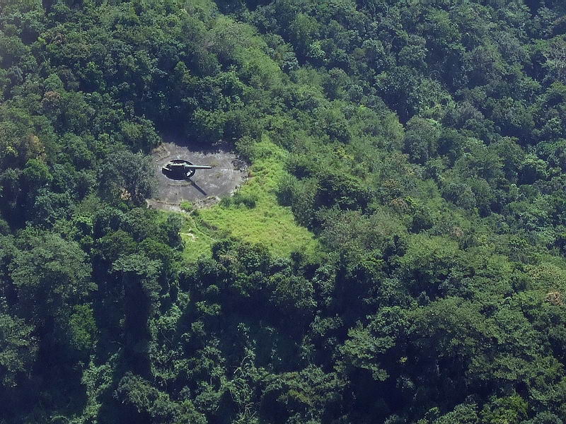
Corregidor Island, aerial, AJM, 32. Battery Smith
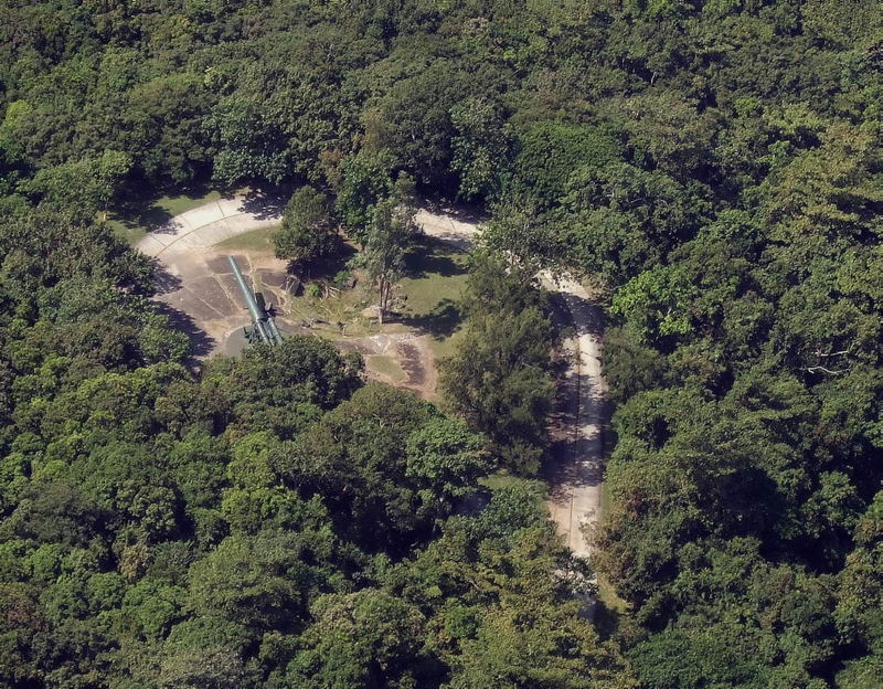
Corregidor Island, aerial, AJM, 33. Battery Hearn.
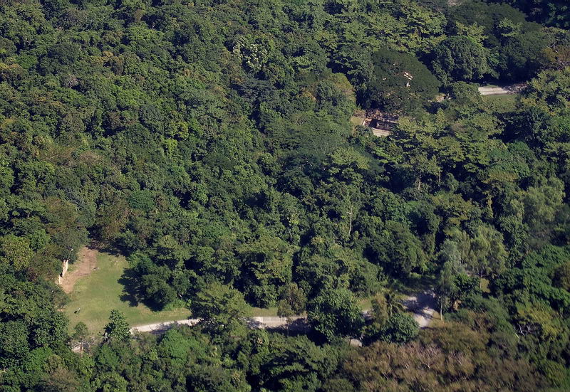
Corregidor Island, aerial, AJM, 34. Ord. Repair Shop is left & Battery Way is at right.
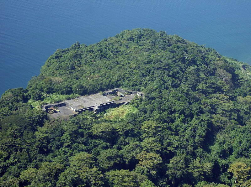
Corregidor Island, aerial, AJM, 35. Battery Cheney
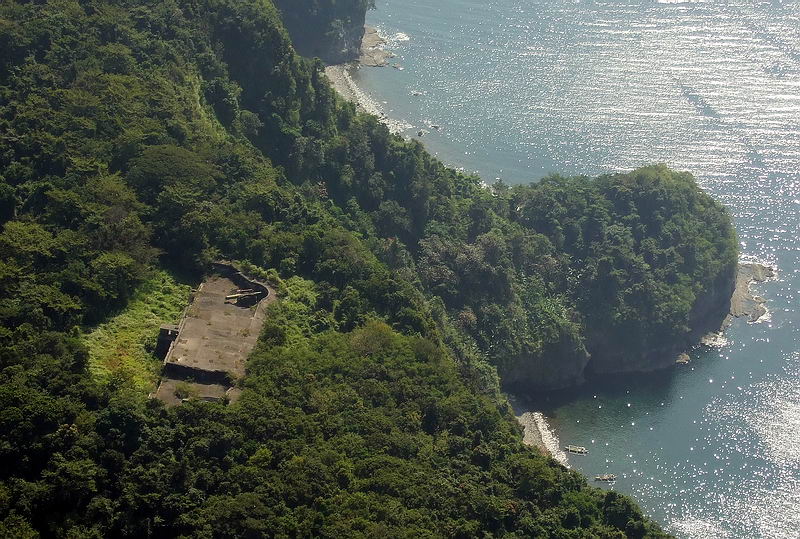
Corregidor Island, aerial, AJM, 36. Battery Cheney, Wheeler Point.
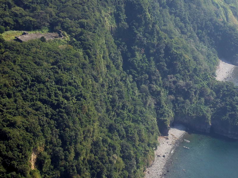
Corregidor Island, aerial, AJM, 37. Battery Cheney, Wheeler Point.
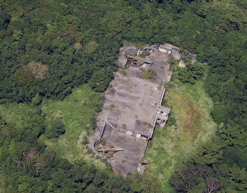
Corregidor Island, aerial, AJM, 38. Battery Cheney
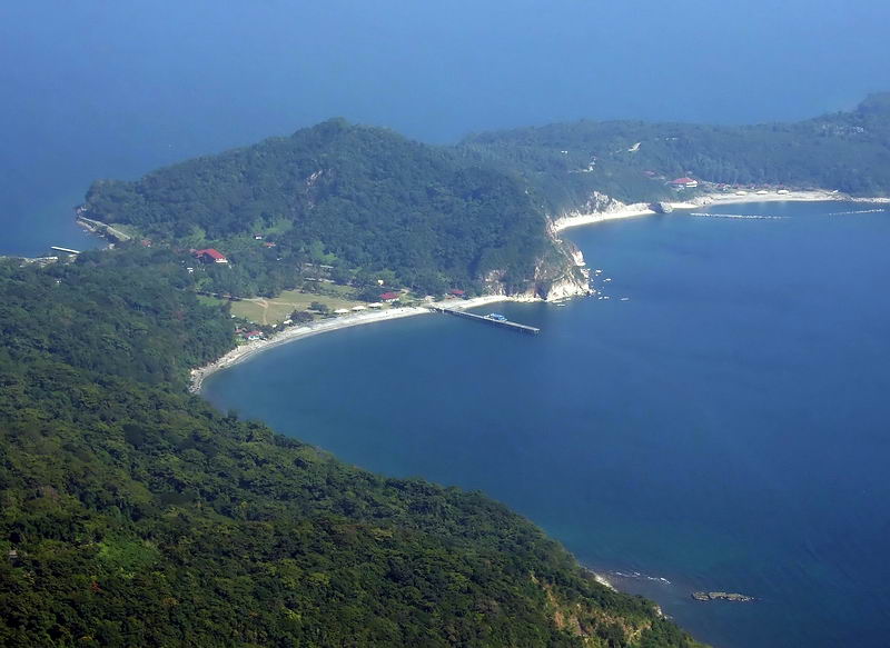
Corregidor Island, aerial, AJM, 39. Malinta Hill.
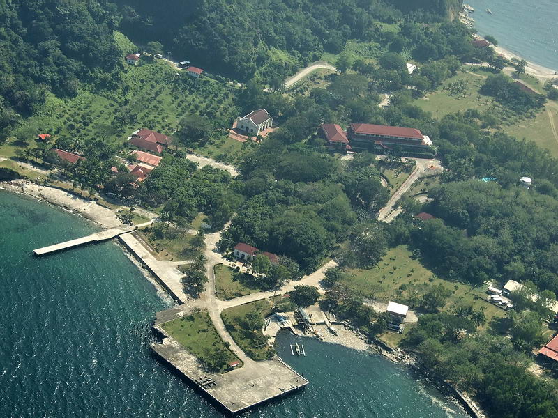
Corregidor Island, aerial, AJM, 40. Corregidor Bottomside, North Mine Dock.
==================================================
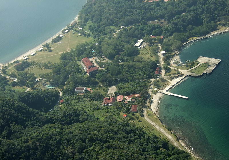
Corregidor Island, aerial, AJM, 41. Corregidor Bottomside, the right side is towards the North.
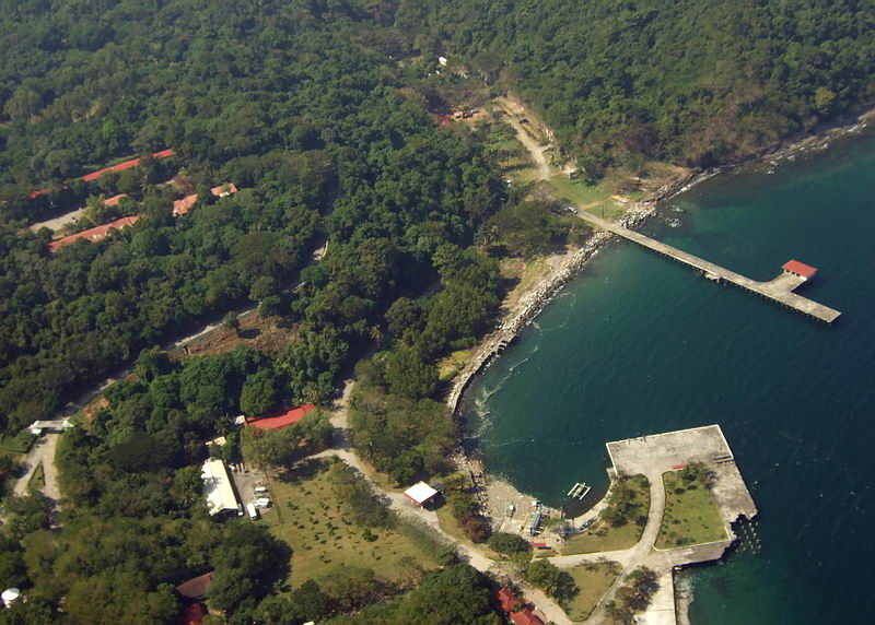
Corregidor Island, aerial, AJM, 42. Corregidor Bottomside with the North Mine Dock and the Engineering Dock.
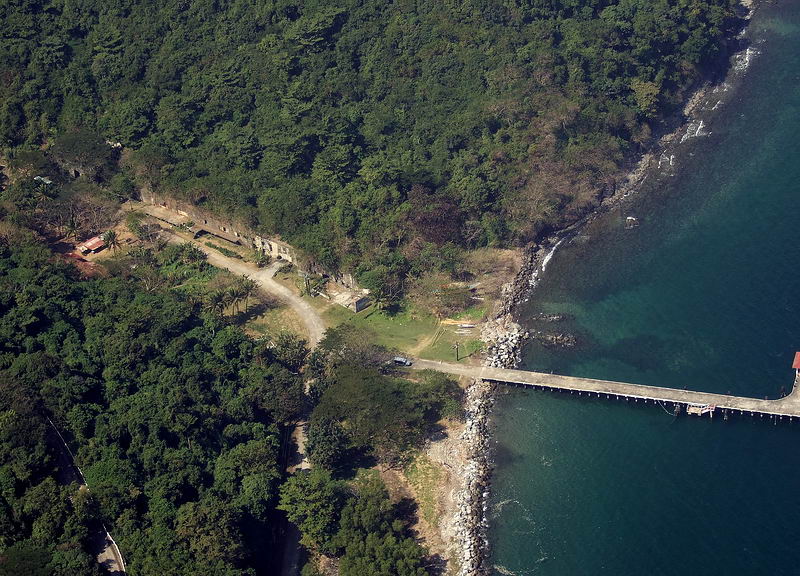
Corregidor Island, aerial, AJM, 43. Corregidor Engineering Ravine with former coal fired power plant and the Engineering Dock.
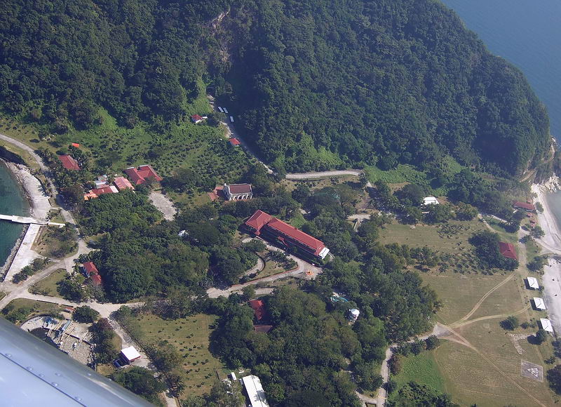
Corregidor Island, aerial, AJM, 44. Corregidor Bottomside, looking south-east.
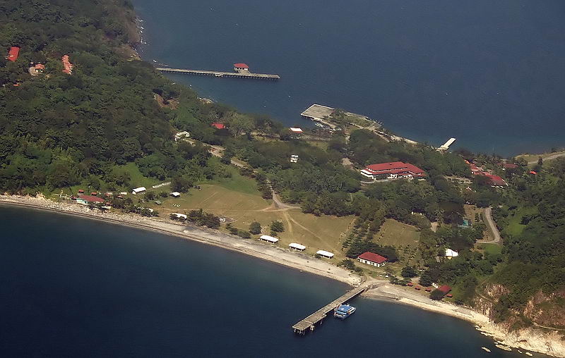
Corregidor Island, aerial, AJM, 45. Corregidor Bottomside, looking north-west.
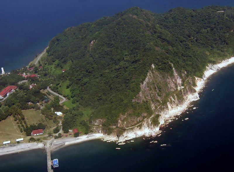
Corregidor Island, aerial, AJM, 46. Malinta Hill south side.
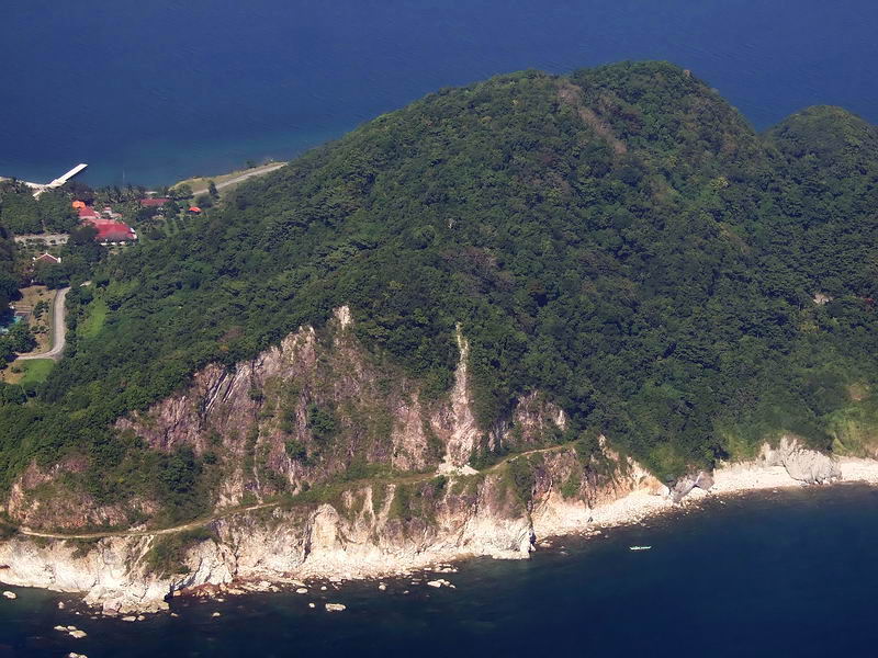
Corregidor Island, aerial, AJM, 47. Malinta Hill south side.
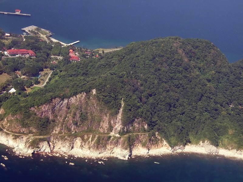
Corregidor Island, aerial, AJM, 48. Malinta Hill south side.
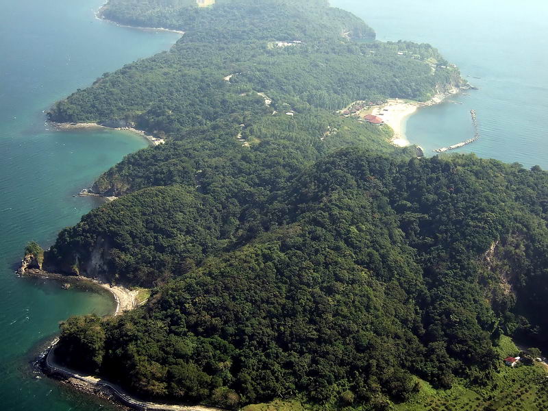
Corregidor Island, aerial, AJM, 49. Malinta Hill. looking east towards the Corregidor Tailend.
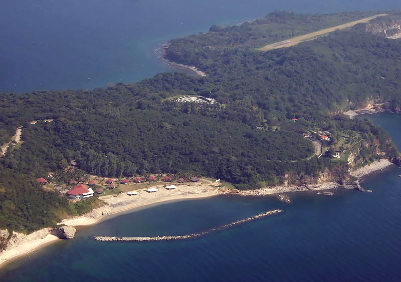
Corregidor Island, aerial, AJM, 50. 92nd Garage, the area covered by the breakwater and in the distance is the Kindley Airfield.
https://philippine-sailor.net/wp-content/uploads/2026/08/Corregidor-Island-aerial-AJM-41-.jpg
======================================================
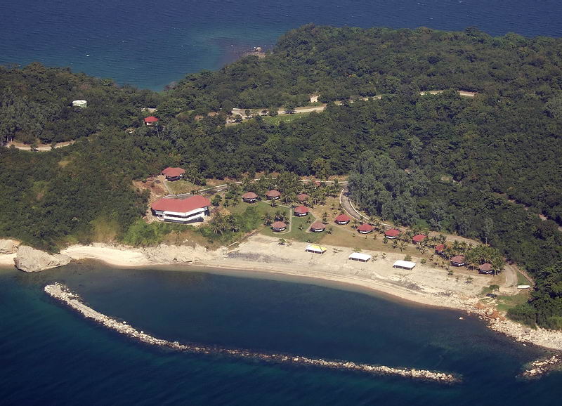
Corregidor Island, aerial, AJM, 51. 92nd Garage area; it functioned as a motor pool and hangar area for the 92nd Coast Artillery Regiment (PS). In 1942 it became the POW area, the Japanese kept most of their prisoners in this area for about 17 days in a miserable situation!!
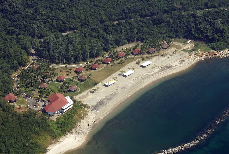
Corregidor Island, aerial, AJM, 52. 92nd Garage area; it functioned as a motor pool and hangar area for the 92nd Coast Artillery Regiment (PS). In 1942 it became the POW area, the Japanese kept most of their prisoners in this area for about 17 days in a miserable situation!!
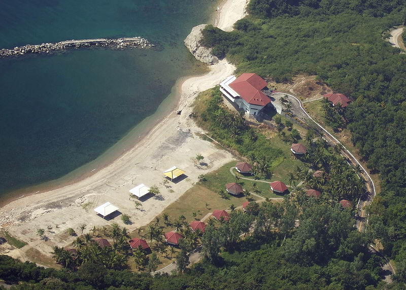
Corregidor Island, aerial, AJM, 53. 92nd Garage area; it functioned as a motor pool and hangar area for the 92nd Coast Artillery Regiment (PS). In 1942 it became the POW area, the Japanese kept most of their prisoners in this area for about 17 days in a miserable situation!!
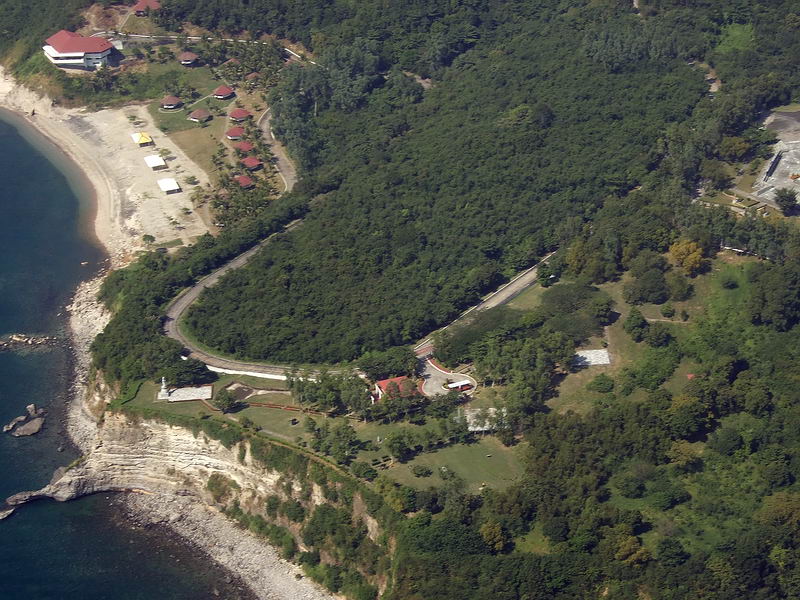
Corregidor Island, aerial, AJM, 54. 92nd Garage area and the Camp Point with the Japanese Memorial Garden.
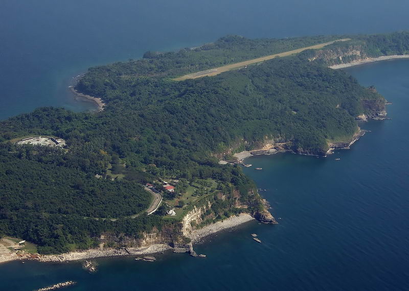
Corregidor Island, aerial, AJM, 55. Filipino Heroes Memorial, the Japanese Memorial Garden and the Kindley Airfield.
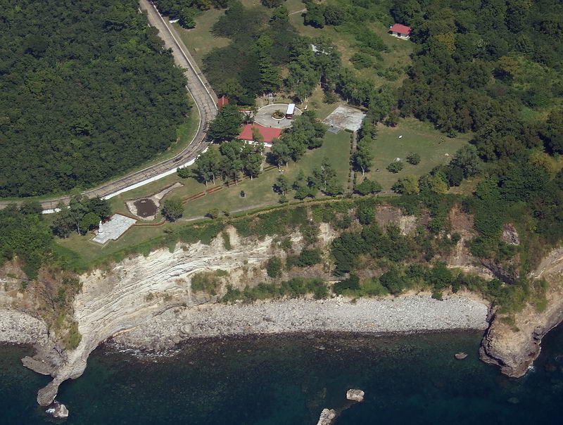
Corregidor Island, aerial, AJM, 56. Camp Point and Ordnance Point with the Japanese Memorial Garden between.
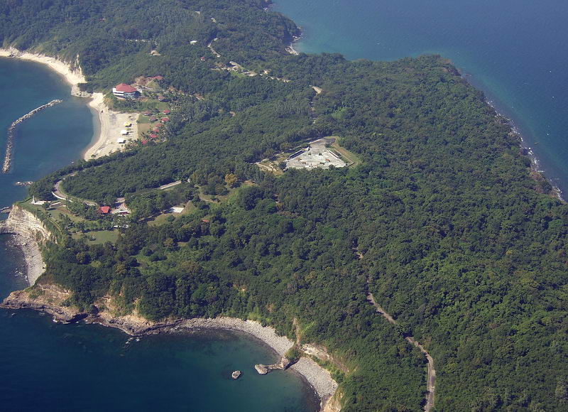
Corregidor Island, aerial, AJM, 57. The Japanese Memorial Garden is left and the Filipino Heroes Memorial is at right.
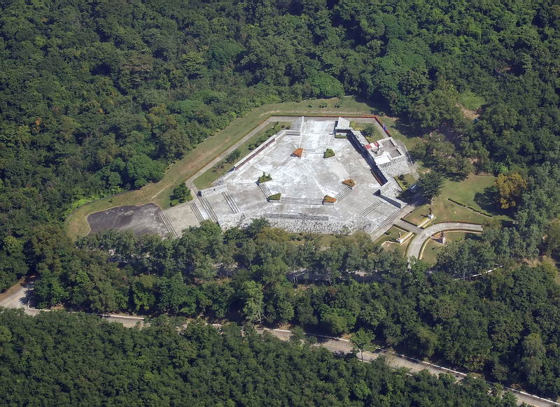
Corregidor Island, aerial, AJM, 58. Filipino Heroes Memorial.
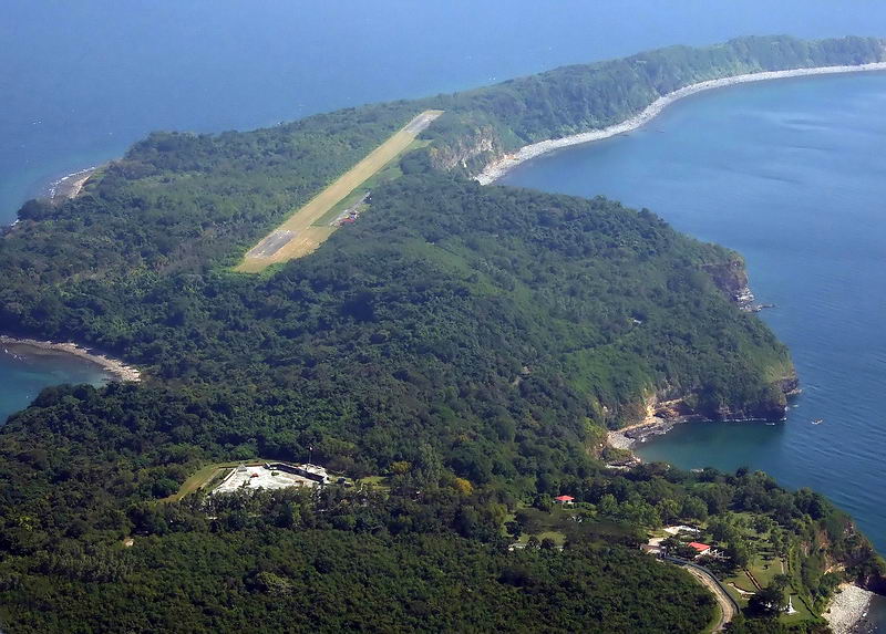
Corregidor Island, aerial, AJM, 59. Watertank Hill or Denver Hill, just east of the Filipino Heroes Memorial.
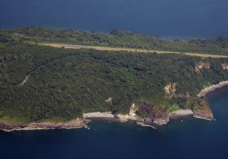
Corregidor Island, aerial, AJM, 60. Kindley Airfield and Monkey Point.
=====================================================.
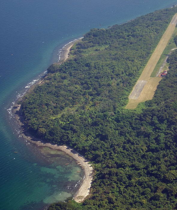
Corregidor Island, aerial, AJM, 61. Cavalry Point and Kindley Airfield.
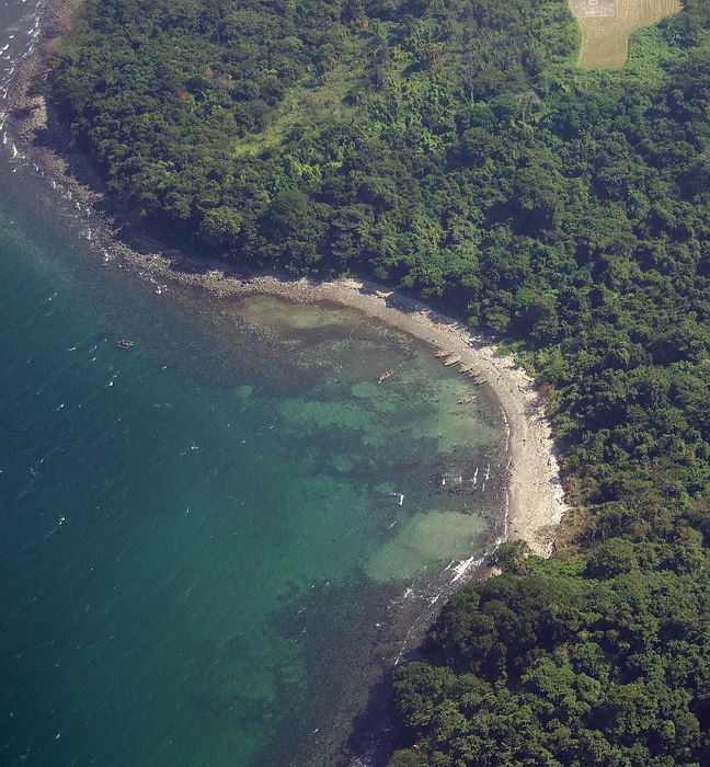
Corregidor Island, aerial, AJM, 62. Cavalry Point
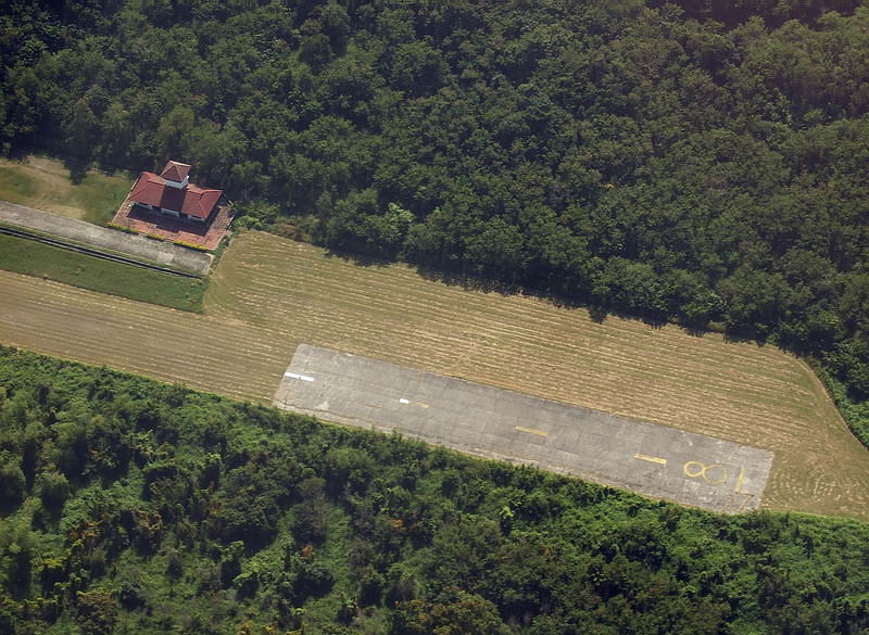
Corregidor Island, aerial, AJM, 63. Western end of Kindley Airfield.
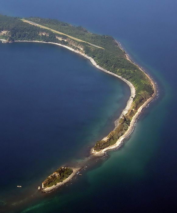
Corregidor Island, aerial, AJM, 64. Tailend and Hooker Point.
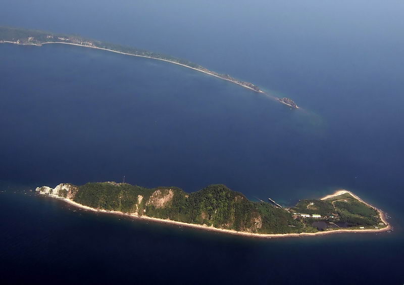
Corregidor Island, aerial, AJM, 65. Caballo Island, ex Fort Hughes and Hooker Point.
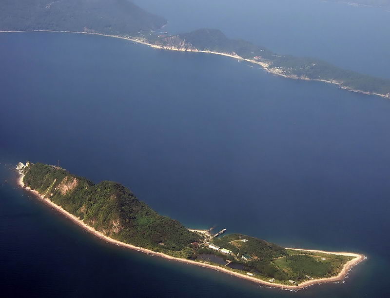
Corregidor Island, aerial, AJM, 66. Caballo Island, ex Fort Hughes.
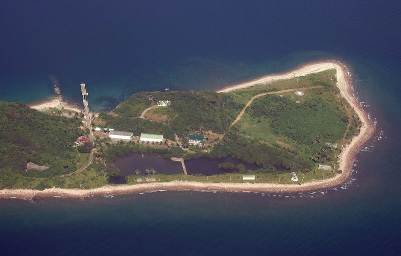
Corregidor Island, aerial, AJM, 67. Caballo Island, ex Fort Hughes, east end.
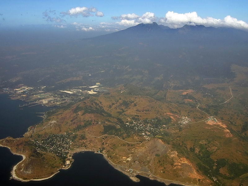
Corregidor Island, aerial, AJM, 68. Mariveles Town and Mount Mariveles.